MyTopo
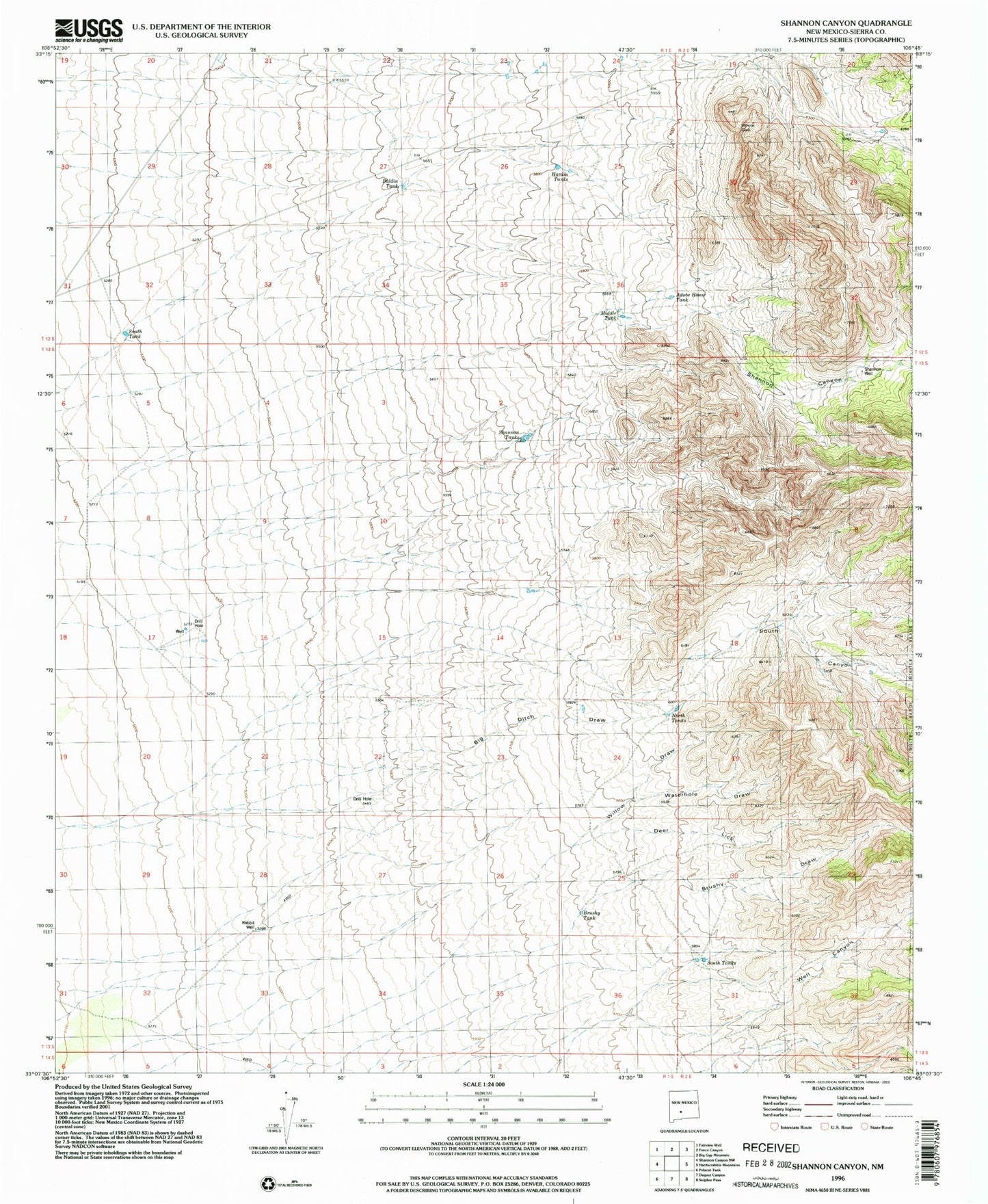
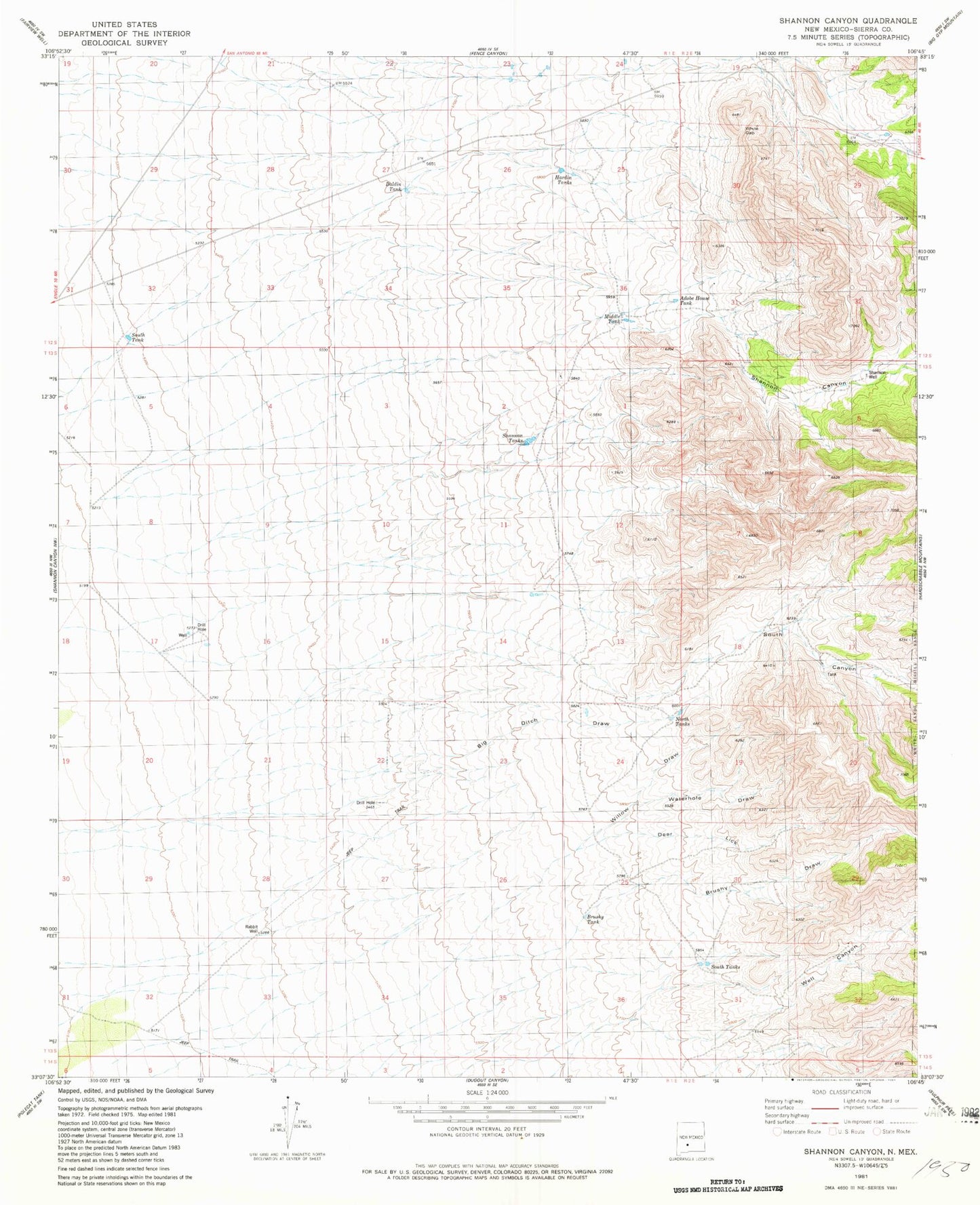
Classic USGS Shannon Canyon New Mexico 7.5'x7.5' Topo Map
Couldn't load pickup availability
Historical USGS topographic quad map of Shannon Canyon in the state of New Mexico. Map scale may vary for some years, but is generally around 1:24,000. Print size is approximately 24" x 27"
This quadrangle is in the following counties: Sierra.
The map contains contour lines, roads, rivers, towns, and lakes. Printed on high-quality waterproof paper with UV fade-resistant inks, and shipped rolled.
Contains the following named places: Adobe House Tank, Baldin Tank, Big Ditch Draw, Brushy Draw, Brushy Tank, Deer Lick, Hardin Tank, Hardin Tank Number 2, Middle Tank, New Tank, North Tanks, Rabbit Well, Shannon Canyon, Shannon Tanks, Shannon Well, South Canyon, South Tank, South Tanks, Truth or Consequences East Division, Waterhole Draw, Well Canyon, Willow Draw