MyTopo
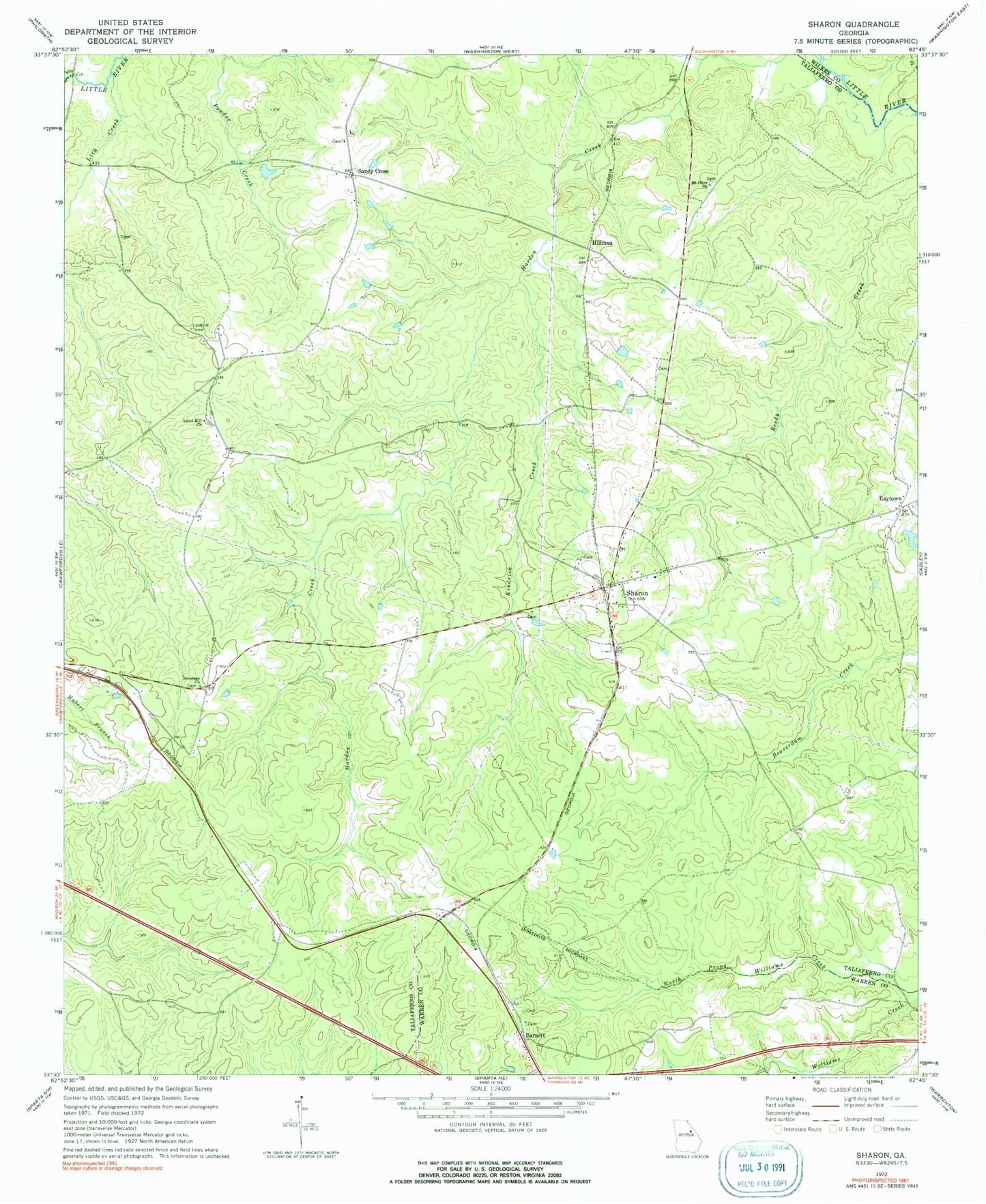
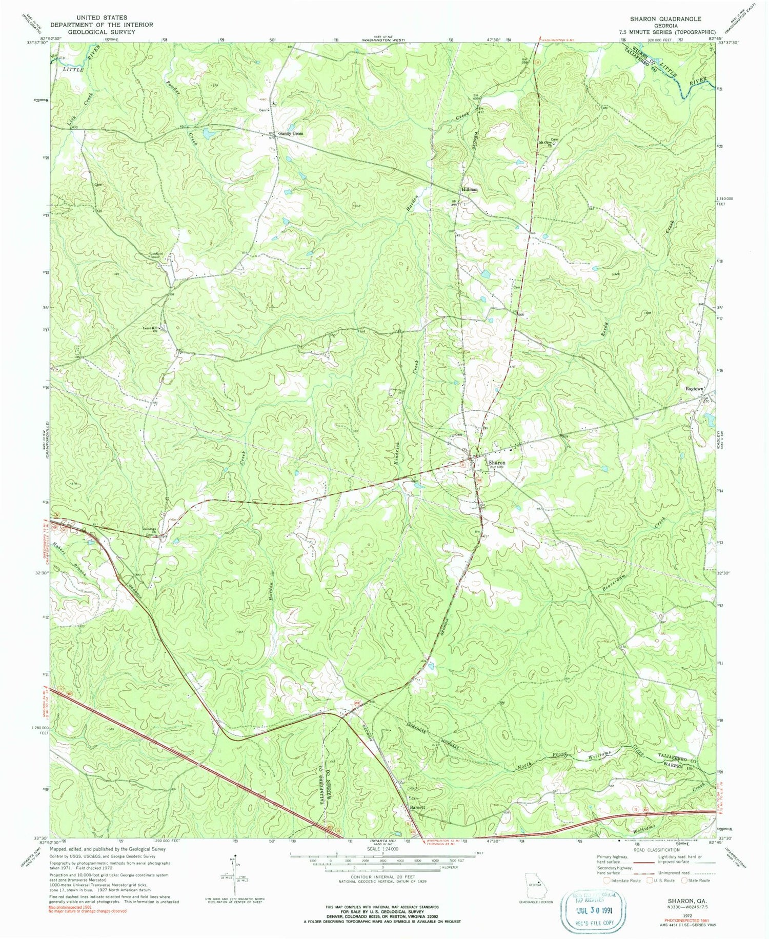
Classic USGS Sharon Georgia 7.5'x7.5' Topo Map
Couldn't load pickup availability
Historical USGS topographic quad map of Sharon in the state of Georgia. Map scale may vary for some years, but is generally around 1:24,000. Print size is approximately 24" x 27"
This quadrangle is in the following counties: Taliaferro, Warren, Wilkes.
The map contains contour lines, roads, rivers, towns, and lakes. Printed on high-quality waterproof paper with UV fade-resistant inks, and shipped rolled.
Contains the following named places: Barnett, Barnett Cemetery, Barnett Church, Battle - Greeson Cemetery, Chapman - Rhodes Cemetery, City of Sharon, Daniel B Pilcher Cemetery, Delila Greeson Meadows Cemetery, Greater Level Hill Cemetery, Harris - McGinty Cemetery, Hillman, Jennings Cemetery, Jennings Church, Kendrick Creek, King Cemetery, Level Hill Church, Lick Creek, Locust Grove Cemetery, Mill Hill Cemetery, Mount Olive Cemetery, Mount Olive Church, Overton Cemetery, Pittman Cemetery, Raytown, Raytown Baptist Church, Raytown Cemetery, Saggus - Lyle Cemetery, Sallie Sims Cemetery, Sandy Cross, Sandy Cross Baptist Church, Sandy Cross Cemetery, Sandy Cross Methodist Church, Sharon, Sharon Cemetery, Sharon Division, Sharon Methodist Church, Sharon Post Office, Stephens - Alexander Cemetery, Stephens Cemetery, Stewart - Edwards Cemetery, Sturdivant Cemetery, Taliaferro Volunteer County Fire Department Station 3, ZIP Code: 30664


