MyTopo
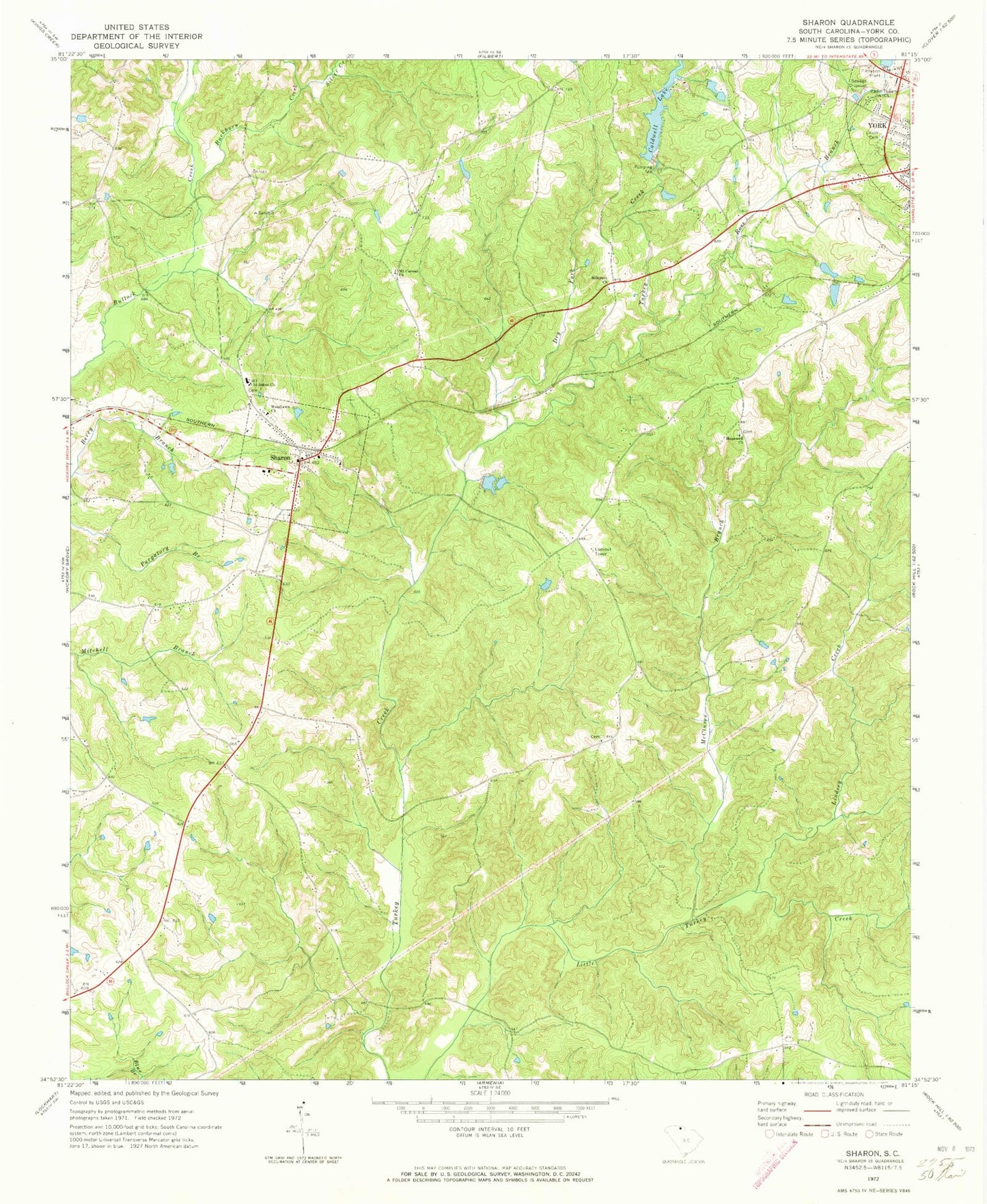
Classic USGS Sharon South Carolina 7.5'x7.5' Topo Map
Couldn't load pickup availability
Historical USGS topographic quad map of Sharon in the state of South Carolina. Map scale may vary for some years, but is generally around 1:24,000. Print size is approximately 24" x 27"
This quadrangle is in the following counties: York.
The map contains contour lines, roads, rivers, towns, and lakes. Printed on high-quality waterproof paper with UV fade-resistant inks, and shipped rolled.
Contains the following named places: Blairsville, Buckhorn Creek, Caldwell Lake, Calvary Church, Cuba School, Dry Fork, Harmony Church, Hill Street Church of God, Hillcrest Baptist Church, Hopewell School, Hopewell United Methodist Church, Lindsey Creek, Lower York Reservoir, Lower York Reservoir Dam D-1222, McClure Creek, McClures Branch, McConnells Division, Mount Carmel Freewill Baptist Church, Pine Bluff School, Pleasant Grove Presbyterian Church, Rainey Town School, Ross Branch, Saint John Baptist Church, Saint John Baptist Church Graveyard, Sharon, Sharon Associate Reformed Presbyterian Church, Sharon Baptist Church, Sharon Fire Department, Sharon School, Sharon United Methodist Church, Silver Creek, South Carolina Noname 46004 D-1230 Dam, South Carolina Noname 46007 D-3677 Dam, South Carolina Noname 46022 D-3643 Dam, Sutton Spring, Town of Sharon, Union Cemetery, WBZK-AM (York), Wilsons Chapel, Woodlawn Presbyterian Church, Woodlawn Presbyterian Church Cemetery