MyTopo
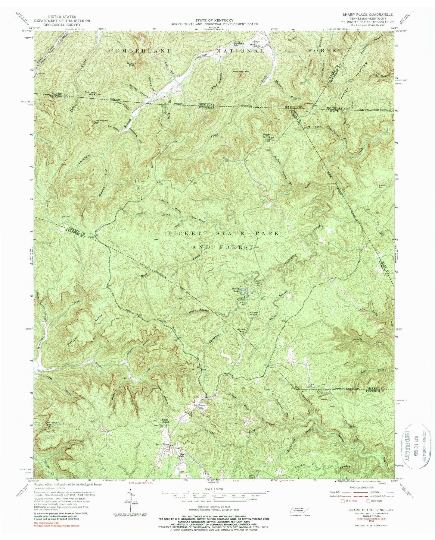
Classic USGS Sharp Place Tennessee 7.5'x7.5' Topo Map
Couldn't load pickup availability
Historical USGS topographic quad map of Sharp Place in the states of Tennessee, Kentucky. Typical map scale is 1:24,000, but may vary for certain years, if available. Print size: 24" x 27"
This quadrangle is in the following counties: Fentress, McCreary, Pickett, Scott, Wayne.
The map contains contour lines, roads, rivers, towns, and lakes. Printed on high-quality waterproof paper with UV fade-resistant inks, and shipped rolled.
Contains the following named places: Right Fork Pennington Branch, Bearpen Rough, South Prong Little Rock Creek, Thompson Branch, Thompson Creek, Watson Branch, Akers Chapel, Ben Creek, Blevins Cemetery, Cave Hollow, Coal Bank Branch, Crooked Branch, Dabney Branch, Davenport Hollow, Em Hollow, Greenwood Cliff, Hammock Branch, Hinds Field Branch, Hoover Hollow, Johnson Branch, Left Fork Pennington Branch, Lick Hollow, Little Rock Branch, Little Rock Creek, Moccasin Gap, Mud Creek, Natural Bridge Creek, North Prong Little Rock Creek, Opossum Trot, Phillip Ridge, Pickett Lake, Pickett State Park and Forest, Poplar Spring, Poplar Spring Branch, Rockhouse Branch, Sharp Place Cemetery, Sharp School, Hidden Passage Trail, Island Trail, Ladder Trail, Ridge Trail, Sharp Place, Pickett State Rustic Park Historic District, Lake Bluff Trail, Lake View Trail, Pickett State Park Fire Tower, Betsy Hollow, Buck Branch, Chimney Rock, Dobbs Cemetery, Flint Fork, Langham School, Marcum Branch, Orchard Hollow, Parker Mountain, Pinnacle Mountain, Step Hollow, Sunday Branch, Yellow Cliff, Fork Ridge, M F Etoa Cemetery, Samson Hammer, Sharp-Smith Cemetery, The Pine Field, Washington Young Home (historical)


