MyTopo
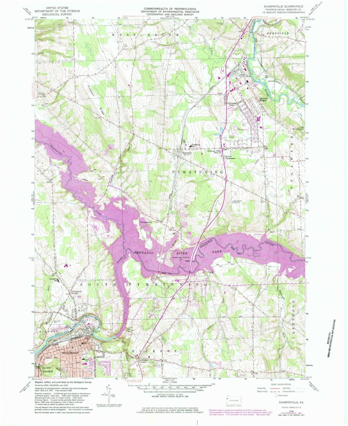
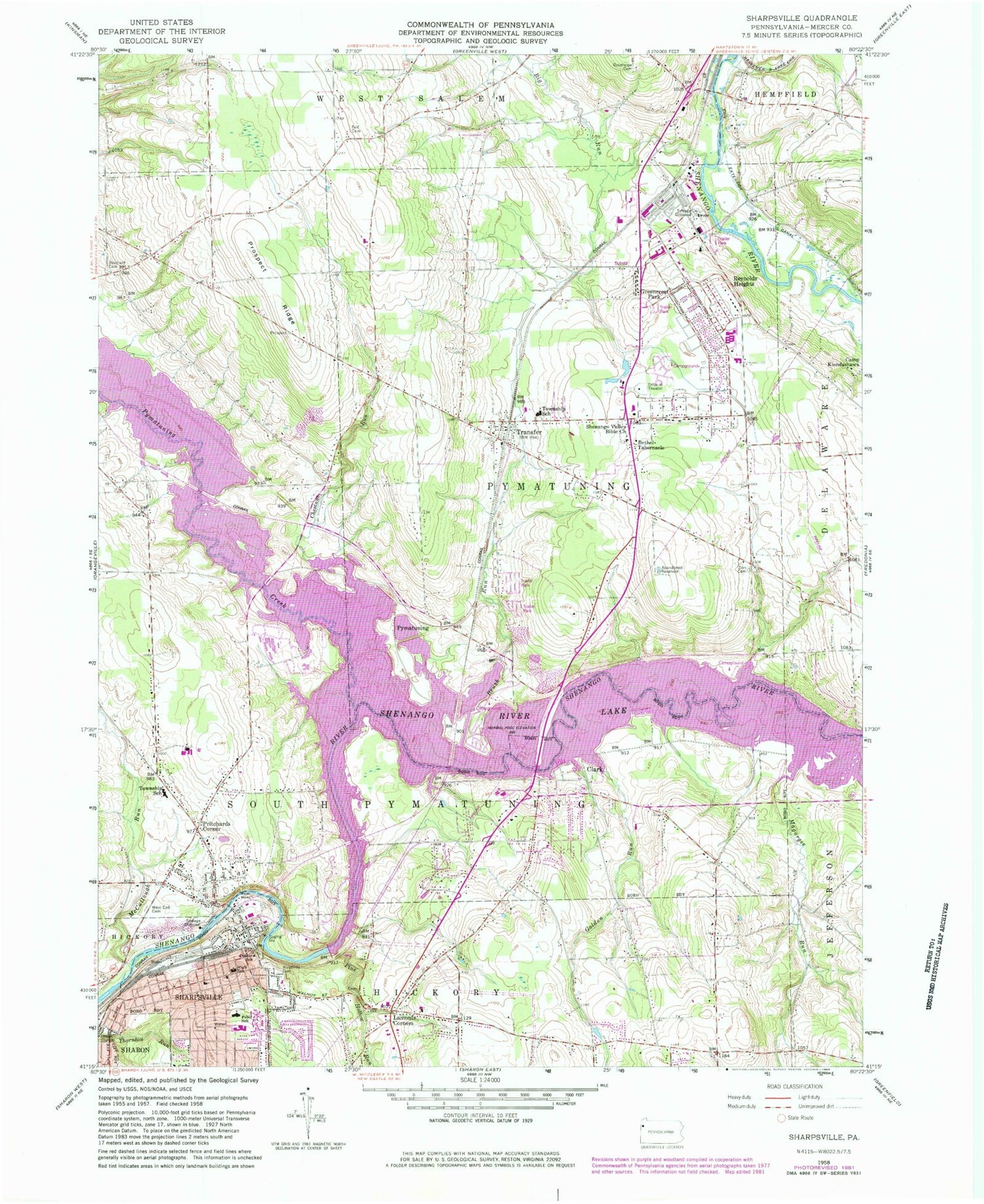
Classic USGS Sharpsville Pennsylvania 7.5'x7.5' Topo Map
Couldn't load pickup availability
Historical USGS topographic quad map of Sharpsville in the states of Pennsylvania, Ohio. Typical map scale is 1:24,000, but may vary for certain years, if available. Print size: 24" x 27"
This quadrangle is in the following counties: Mercer.
The map contains contour lines, roads, rivers, towns, and lakes. Printed on high-quality waterproof paper with UV fade-resistant inks, and shipped rolled.
Contains the following named places: Shenango River Lake, Pymatuning Creek, Bethel Tabernacle, Brush Run, Chestnut Run, Clark, Deeter School, Fell Cemetery, Golden Run, Greencrest Park, Lamonts Corners, Magargee Run, McCullough Run, Pebly School, Pine Hollow Run, Pritchards Corner, Prospect Ridge, Reichard Cemetery, Reynolds Heights, Shenango Valley Bible Church, Transfer, Zion Cemetery, Big Run, Sharpsville, Napodano Airport, Shenango River Dam, Simpkins School, Pleasant Valley School, Linn School, Keystone School, Good Hope Cemetery, Birchwood Golf Course, Mahaney Public Use Area, Shenango Public Use Area, Reynolds Plaza, Victory Station, Pymatuning, Borough of Clark, Borough of Sharpsville, Township of Pymatuning, Township of South Pymatuning, Reynolds Heights Census Designated Place, Sharpsville Volunteer Fire Department Station 82, Clark Volunteer Fire Company Station 99, Transfer Volunteer Fire Department Station 75 - 1, Transfer Volunteer Fire Department Station 75 - 2, South Pymatuning Township Volunteer Fire Department Station 78, Edgewood Surgical Hospital, River Road Landfill, Zahniser Woods, Transfer Post Office, Sharpsville Boro Police Department, Sharpsville Post Office, Clark Post Office, Pymatuning Township Police Department, South Pymatuning Township Police Department, Glenwood Cemetery, Oak Grove Cemetery, West Side Cemetery, Riverside Cemetery, Clarksville Cemetery, Transfer Cemetery, Trout Island Cemetery, McCullough Run


