MyTopo
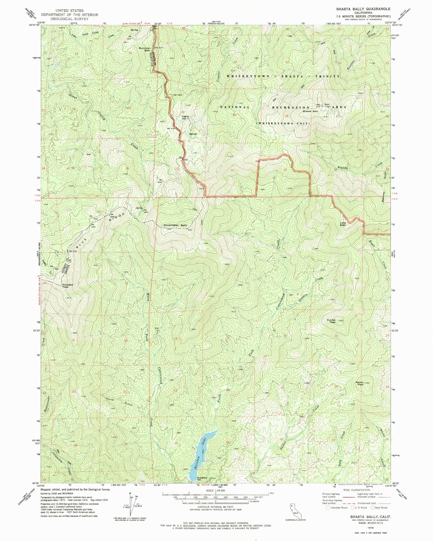
Classic USGS Shasta Bally California 7.5'x7.5' Topo Map
Couldn't load pickup availability
Historical USGS topographic quad map of Shasta Bally in the state of California. Typical map scale is 1:24,000, but may vary for certain years, if available. Print size: 24" x 27"
This quadrangle is in the following counties: Shasta, Trinity.
The map contains contour lines, roads, rivers, towns, and lakes. Printed on high-quality waterproof paper with UV fade-resistant inks, and shipped rolled.
Contains the following named places: Beartrap Gulch, Blue Ridge, Buckhorn Bally, Coggins Park, Gimblin Creek, Musselbeck Dam, Rainbow Lake, Shoemaker Bally, Taylor Gulch, Ducket Peak, Rector Peak, Little Bally, Paradise Peak, Shasta Bally, KVIP-FM (Redding), KNCQ-FM (Redding), KRCR-TV (Redding), KIXE-TV (Redding), Southwest Shasta Division