MyTopo
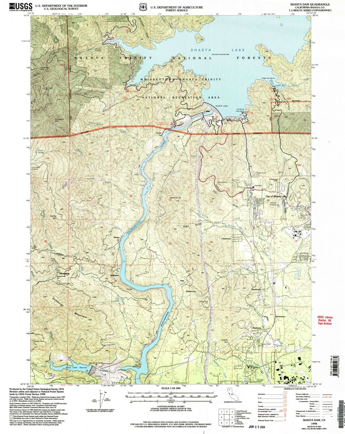
Classic USGS Shasta Dam California 7.5'x7.5' Topo Map
Couldn't load pickup availability
Historical USGS topographic quad map of Shasta Dam in the state of California. Map scale may vary for some years, but is generally around 1:24,000. Print size is approximately 24" x 27"
This quadrangle is in the following counties: Shasta.
The map contains contour lines, roads, rivers, towns, and lakes. Printed on high-quality waterproof paper with UV fade-resistant inks, and shipped rolled.
Contains the following named places: Akers Prospect, American Medical Response Station 4, Balaklaia Mine, Benson Mine, Boulder Creek, Buckeye, Buckeye Park, Buckeye School of the Arts, Butcher Creek, Centimundi Boat Launching Ramp, Central Valley Cemetery, Chamise Peak, Churntown, City of Shasta Lake, Copley Mountain, Coram, Cornish Creek, Cottonwood Creek, Democrat Mountain, Digger Bay Marina, Dry Creek Trail, Dry Fork, Fishermans Point Picnic Site, Flat Creek, Frost Gulch, Government Camp, Hart, Kennett, King Copper Prospect, Little Churn Creek, Livingston Stone National Fish Hatchery, Mary Fork, Matheson, Minnesota, Moccasin Creek, Motion, Motion Creek, National Mine, Nelson Creek, Newtown, North Fork Squaw Creek, Park Villa Mobile Home Estates, Quartz Hill, Quartz Point Mobile Home Park, Redding Fire Department Station 6, Rich Gulch, Riley Gulch, Shasta Dam, Shasta King Mine, Shasta Lake Fire Protection District Station 3, Shasta Lake Mobile Home Park, Sheep Springs, Shoemaker Gulch, Silverthorn, South Fork Motion Creek, South Fork Spring Creek, South Fork Squaw Creek, Spreadeagle Mine, Spring Creek, Spring Creek Dam, Spring Creek Reservoir, Spring Creek School, Squaw Creek, Summit City, Summit City Post Office, Toyon Elementary School, Twin Lakes Mobile Estates, Uncle Sam Mine, Vista House, Walker Mine, Whitehouse, Wintu Bay, Wintu Creek, ZIP Code: 96019