MyTopo
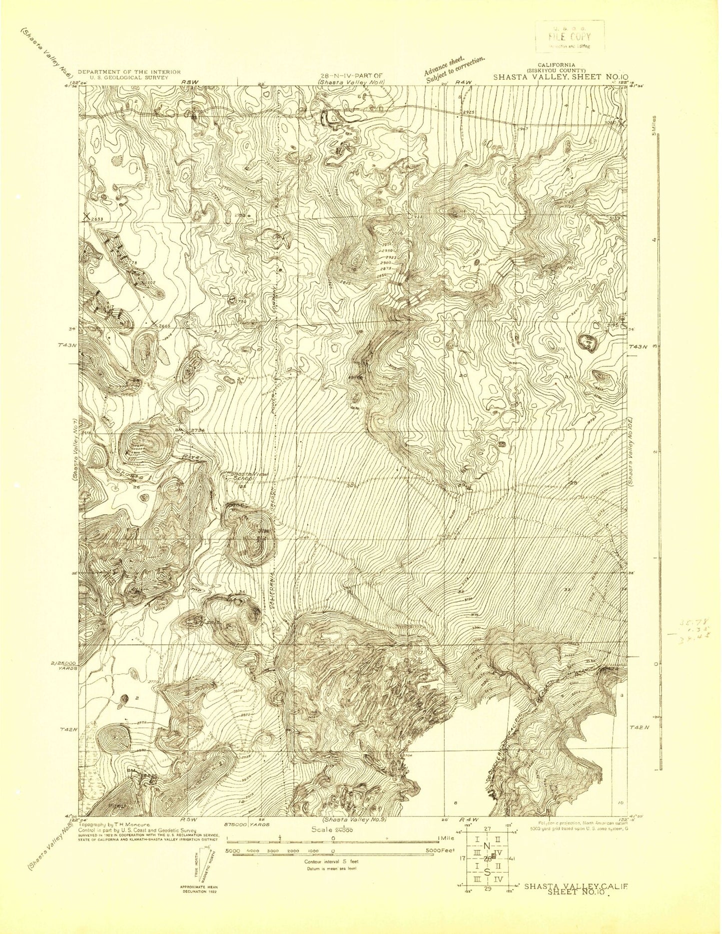
Classic USGS Shasta Valley Sheet No 10 California 7.5'x7.5' Topo Map
Couldn't load pickup availability
Historical USGS topographic quad map of Shasta Valley Sheet No 10 in the state of California. Map scale may vary for some years, but is generally around 1:24,000. Print size is approximately 24" x 27"
This quadrangle is in the following counties: Siskiyou.
The map contains contour lines, roads, rivers, towns, and lakes. Printed on high-quality waterproof paper with UV fade-resistant inks, and shipped rolled.
Contains the following named places: Juniper Flat, Lake Shastina, Lake Shastina Census Designated Place, Lake Shastina Fire Department, Lake Shastina Golf Resort, Lake Shastina Police Department, Lost Lake, Mount Shasta Vista Volunteer Fire Company Station 1, Mount Shasta Vista Volunteer Fire Company Station 2, Shasta River 60-000 Dam, Shasta View School, Whitney Creek