MyTopo
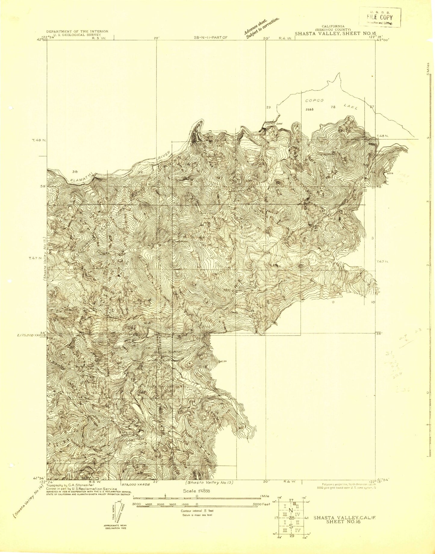
Classic USGS Shasta Valley Sheet No 16 California 7.5'x7.5' Topo Map
Couldn't load pickup availability
Historical USGS topographic quad map of Shasta Valley Sheet No 16 in the state of California. Map scale may vary for some years, but is generally around 1:24,000. Print size is approximately 24" x 27"
This quadrangle is in the following counties: Siskiyou.
The map contains contour lines, roads, rivers, towns, and lakes. Printed on high-quality waterproof paper with UV fade-resistant inks, and shipped rolled.
Contains the following named places: Beaver Creek, Bloomingcamp Peak, Bogus Elementary School, Cheesebrough, Cold Creek, Copco, Copco Lake, Copco Lake Fire Protection District Station 2, Copco Number 1 91 Dam, Copco Number 2 91-002 Dam, Daggett Mountain, East Fork Beaver Creek, Edwards, Fall Creek, Fall Creek Fish Hatchery, Fall Creek Powerhouse, Fall Creek School, Frame Mill Spring, Freeman Springs, Indian Creek, Iron Creek, Jenny Creek, JJJ Ranch, Klamath Rim, Lakeview Lookout, Little Springs, Little Springs Canyon, O'Brien, Sloan Butte, Soda Spring, West Fork Beaver Creek, White