MyTopo
Classic USGS Shasta Valley Sheet No 3 S California 7.5'x7.5' Topo Map
Couldn't load pickup availability
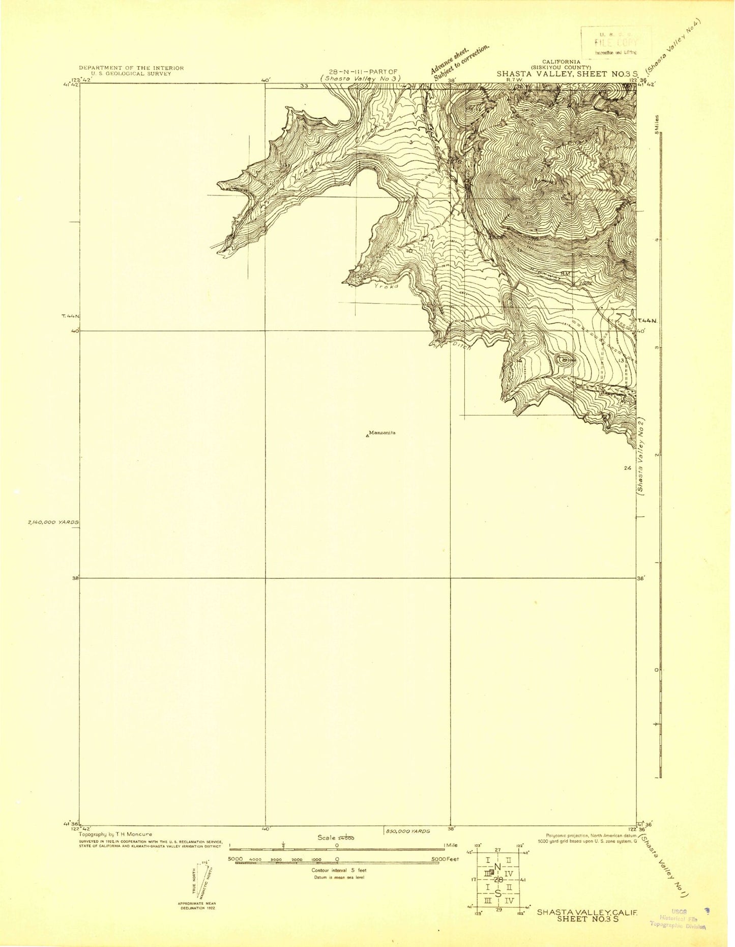
Historical USGS topographic quad map of Shasta Valley Sheet No 3 S in the state of California. Map scale may vary for some years, but is generally around 1:24,000. Print size is approximately 24" x 27"
This quadrangle is in the following counties: Siskiyou.
The map contains contour lines, roads, rivers, towns, and lakes. Printed on high-quality waterproof paper with UV fade-resistant inks, and shipped rolled.
Contains the following named places: Antelope Mountain, Bally Mountain, Blacks Gulch, Canaan Gulch, Forest House, Kilgore Hills, KYRE-FM (Yreka), Left Fork Canaan Gulch, Lime Gulch, Manzanita Hill, Poison Gulch, Pruett 184 Dam, Ranch Mobile Home Park, Right Fork Canaan Gulch, South Yreka Fire Protection District Fire Station, Uminoffer Gulch, Walters Gulch, Whites Gulch, Yreka Ditch, Yreka Division