MyTopo
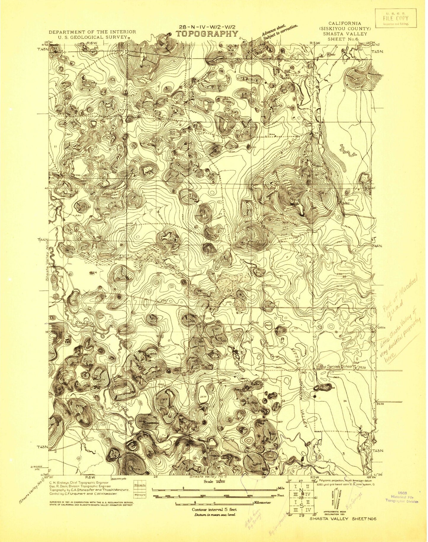
Classic USGS Shasta Valley Sheet No 6 California 7.5'x7.5' Topo Map
Couldn't load pickup availability
Historical USGS topographic quad map of Shasta Valley Sheet No 6 in the state of California. Map scale may vary for some years, but is generally around 1:24,000. Print size is approximately 24" x 27"
This quadrangle is in the following counties: Siskiyou.
The map contains contour lines, roads, rivers, towns, and lakes. Printed on high-quality waterproof paper with UV fade-resistant inks, and shipped rolled.
Contains the following named places: Barton 1181-002 Dam, Barton Lake, Bass Lake, Big Springs Elementary School, Cedar Lake, Cloak Lake, Cloak Lake 1181 Dam, Copco Substation, Drop Rock, Earl B Fiock Number 3 2180-002 Dam, Four Corners, Hart Quarry, Lava Lakes Wildlife Sanctuary, Mayten Fire Protection District, Owls Head, Salt Lake, Steamboat Lake, Steamboat Mountain, Trout Lake, Willow Creek