MyTopo
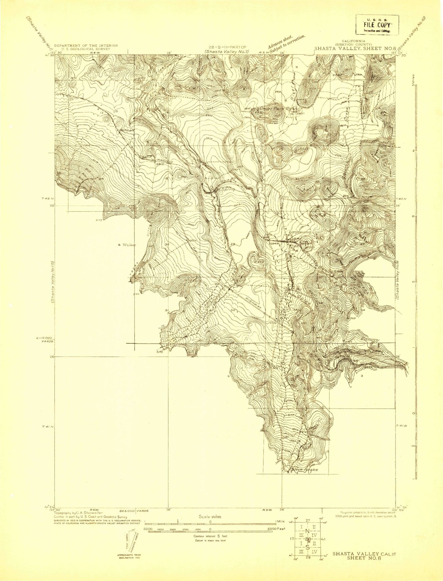
Classic USGS Shasta Valley Sheet No 8 California 7.5'x7.5' Topo Map
Couldn't load pickup availability
Historical USGS topographic quad map of Shasta Valley Sheet No 8 in the state of California. Map scale may vary for some years, but is generally around 1:24,000. Print size is approximately 24" x 27"
This quadrangle is in the following counties: Siskiyou.
The map contains contour lines, roads, rivers, towns, and lakes. Printed on high-quality waterproof paper with UV fade-resistant inks, and shipped rolled.
Contains the following named places: Beaughton Creek, Boles Creek, Butteville Elementary School, Cedar Park School, Dale Creek, Eddy Creek, Edgewood, Edgewood Census Designated Place, Edgewood Post Office, Metcalf, Mills Ranch Quarry, Soda Spring, Weed Airport, Weed Division, West Fork Parks Creek, ZIP Code: 96094