MyTopo
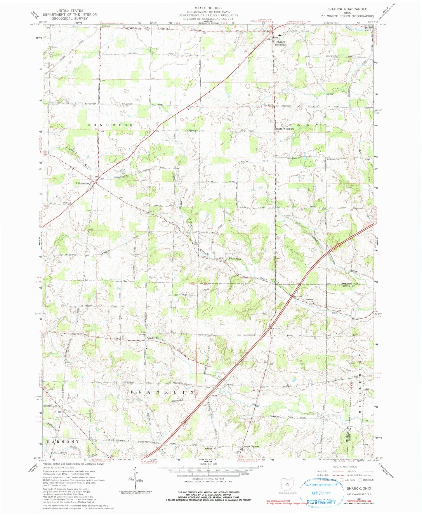
Classic USGS Shauck Ohio 7.5'x7.5' Topo Map
Couldn't load pickup availability
Historical USGS topographic quad map of Shauck in the state of Ohio. Map scale may vary for some years, but is generally around 1:24,000. Print size is approximately 24" x 27"
This quadrangle is in the following counties: Knox, Morrow, Richland.
The map contains contour lines, roads, rivers, towns, and lakes. Printed on high-quality waterproof paper with UV fade-resistant inks, and shipped rolled.
Contains the following named places: Cedar Creek Airport, Center Corners, Country Estates Mobile Home Park, East Miller School, Harmony Church, Johnsville Elementary School, Johnsville Fire Department, Kelker Post Office, Kellker, Lanker Airport, Miller School, Miracle School, Morrow County Emergency Medical Services, Mount Gilead Church, Mount Pleasant School, North Woodbury, Owl Creek Cemetery, Owl Creek Prairie, Peoples School, Pleasant Grove Cemetery, Pleasant Grove Church, Pulaskiville, Pulaskiville Cemetery, Pulaskiville Community Bible Church, Pulaskiville Post Office, Saint Johns Lutheran Church of North Woodbury, School Number 1, School Number 4, Shauck, Shauck Village Post Office, South Miller School, Stackhouse School, Township of Congress, Township of Franklin, Township of Perry, Walnut Hill School, Williamsport, Williamsport United Methodist Church, Yankee Street Cemetery