MyTopo
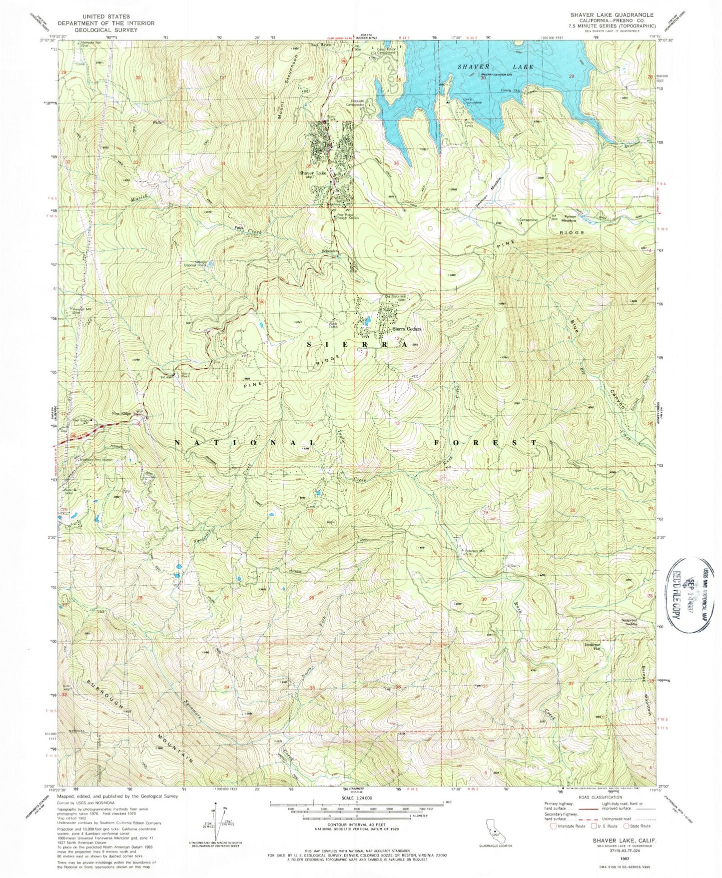
Classic USGS Shaver Lake California 7.5'x7.5' Topo Map
Couldn't load pickup availability
Historical USGS topographic quad map of Shaver Lake in the state of California. Map scale may vary for some years, but is generally around 1:24,000. Print size is approximately 24" x 27"
This quadrangle is in the following counties: Fresno.
The map contains contour lines, roads, rivers, towns, and lakes. Printed on high-quality waterproof paper with UV fade-resistant inks, and shipped rolled.
Contains the following named places: Burrough Mountain, CAL FIRE / Fresno County Fire Protection District Shaver Lake Station, Camp Chawanakee, Camp Edison Campgrounds, Dora Belle, Dorabelle Campground, KAIL-TV (Fresno), Markwood Creek, Mathews Mill, Mount Stevenson, Mountain Rest Guard Station, Mountain Rest Station, Musick Guard Station, North Fork Sycamore Creek, Ockenden, Old Bretz Mill, Peterson Mill, Pine Ridge Ranger Station, Pine Ridge School, Pine Ridge Volunteer Fire Department, Pineridge, Poison Meadow, Prescott Mill, SCE Tiffany Pines Heliport, Shaver Lake, Shaver Lake Census Designated Place, Shaver Lake Heights, Shaver Lake Post Office, Shaver Lake Volunteer Fire Department, Sierra Cedars, Soaproot Flat, Soaproot Saddle, Summit Creek, Swanson Meadow, Swanson Meadows Campground, Taylor Creek, ZIP Code: 93602