MyTopo
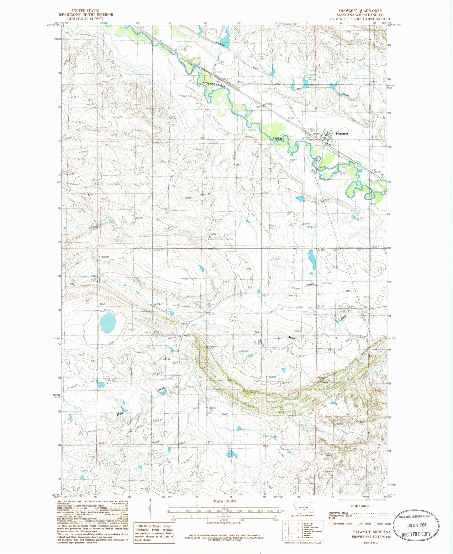
Classic USGS Shawmut Montana 7.5'x7.5' Topo Map
Couldn't load pickup availability
Historical USGS topographic quad map of Shawmut in the state of Montana. Map scale may vary for some years, but is generally around 1:24,000. Print size is approximately 24" x 27"
This quadrangle is in the following counties: Wheatland.
The map contains contour lines, roads, rivers, towns, and lakes. Printed on high-quality waterproof paper with UV fade-resistant inks, and shipped rolled.
Contains the following named places: 06N17E02CBA_01 Well, 07N17E24DD__01 Well, 07N17E25____01 Well, 07N18E19____01 Well, 59078, Berg Dam, Blessed Sacrament Mission, Cinnamon Number 6 Dam, Deadmans Basin Dike, Deadmans Basin Supply Canal, Shawmut, Shawmut Census Designated Place, Shawmut Post Office, Shawmut School, United Methodist Church, Wheatland County Fire Department