MyTopo
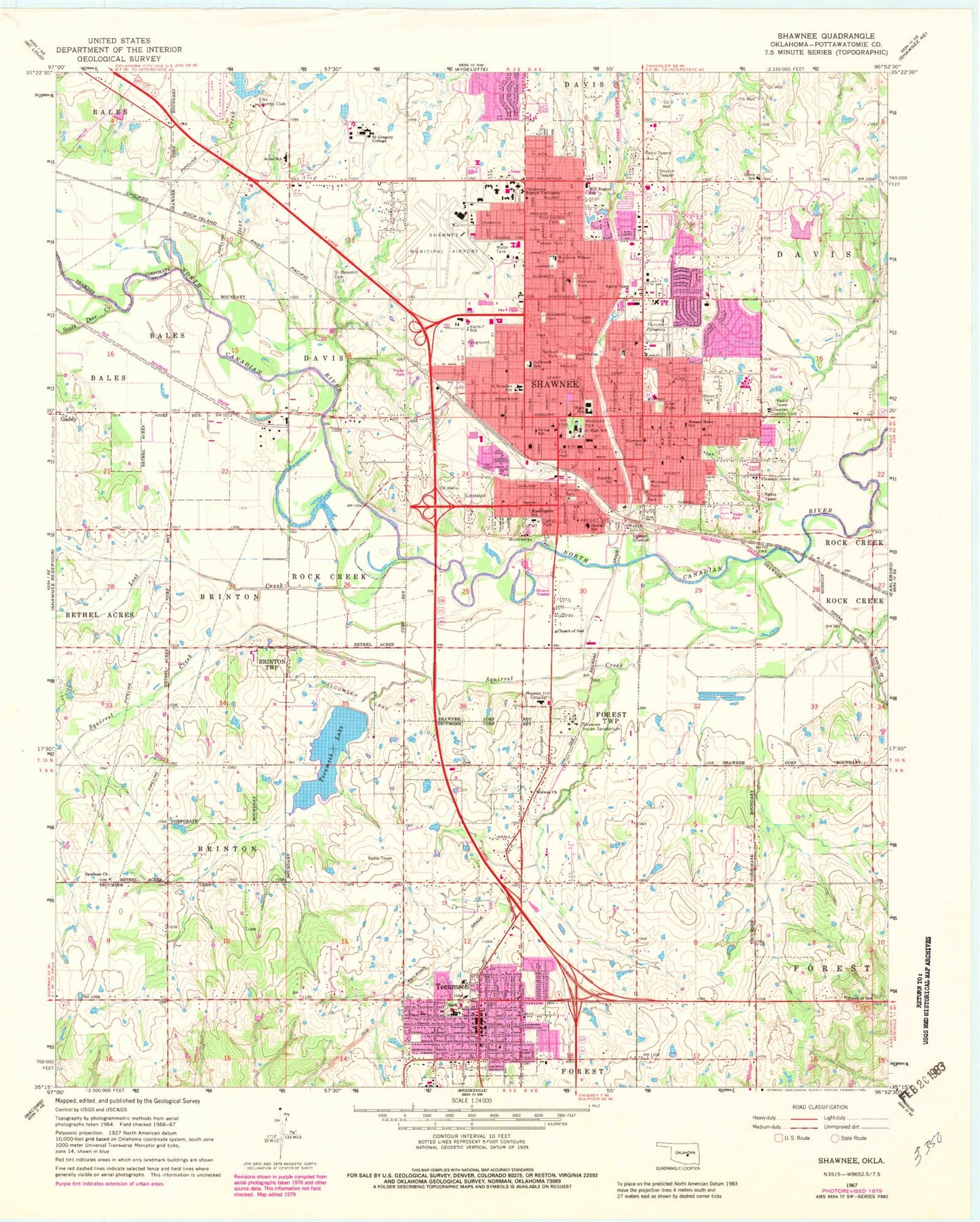
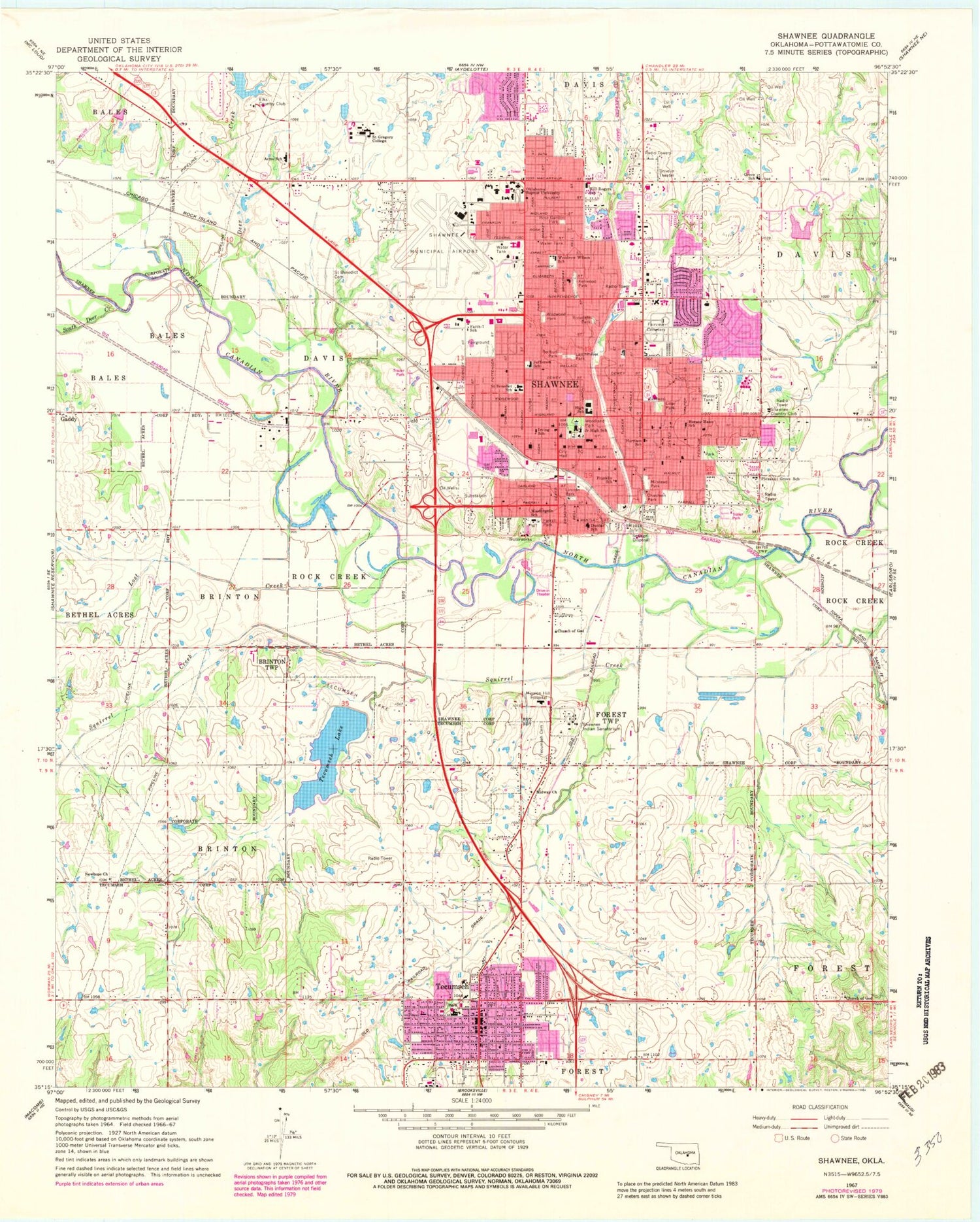
Classic USGS Shawnee Oklahoma 7.5'x7.5' Topo Map
Couldn't load pickup availability
Historical USGS topographic quad map of Shawnee in the state of Oklahoma. Map scale may vary for some years, but is generally around 1:24,000. Print size is approximately 24" x 27"
This quadrangle is in the following counties: Pottawatomie.
The map contains contour lines, roads, rivers, towns, and lakes. Printed on high-quality waterproof paper with UV fade-resistant inks, and shipped rolled.
Contains the following named places: Absentee Shawnee Tribal Police, Acme School, Barnard Elementary School, Bible Temple, Calvary Baptist Church, Calvary Cemetery, Central Presbyterian Church, Chasteen Park, Church of Christ Lakeview, Church of Christ Northridge, Citizen Potawatomi Nation Tribal Police Department, City of Shawnee, City of Tecumseh, Cooper Area Vocational College, Cornerstone Hospital of Oklahoma - Shawnee, Cross Timbers Elementary School, Crouch Ranch Airport, Deer Creek, Del Plaza Shopping Center, Downtown Pentecostal Church, Dunbar School, Elks Club Lake, Elks Country Club, Emmanuel Episcopal Church, Emmanuel Pentecostal Church, Emmanuel Temple of Praise, Fairview Cemetery, Faith Assembly of God, Faith-7 School, Family of Faith College, Farrall Park, First Assembly of God, First Christian Church, First Church of Christ, First Church of God, First Church of the Nazarene, First Presbyterian School and Church, Franklin School, Gilbert, Glad Tidings Assembly of God, Grove Elementary School, Harrison School, Horace Mann Elementary School, Immanuel Baptist Church, Institute of Hair Design Barber College, Irving School, Jefferson Elementary School, Jones Air Park, Juvenile Center, Kenwood Park, KGFF-AM (Shawnee), Kickapoo Plaza Shopping Center, KMART Shopping Center, Krouch Elementary School, Larchmiller Park, Liberty Academy, Liberty Baptist Church, Lilac Park, Lincoln Park, Lost Creek, Midway Church, Milstead Park, New Hope Baptist Church, New Hope Cemetery, Oklahoma Baptist University, Oklahoma Baptist University Police Department, Oknoname 12514 Dam, Oknoname 12514 Reservoir, Open Door Church of God, Orvile Johnson Dam, Orvile Johnson Reservoir, Pioneer Baptist Church, Pleasant Grove Elementary School, Pottawatomie County Sheriff's Office, Pottawatomie Lincoln Baptist Association Church, React Emergency Medical Services Station 1, React Emergency Medical Services Station 2, React Emergency Medical Services Station 3, Redbud Park, Redeemer Lutheran Church, Rose Garden Park, Rosedale Park, Saint Anthony Shawnee Hospital, Saint Benedict School, Saint Gregory's Abbey, Saint Gregory's Abbey Cemetery, Saint Gregorys University, Saint John Lutheran Church, Saint Pauls United Methodist Church, Sequoyah Elementary School, Shawnee, Shawnee Beauty College, Shawnee Country Club, Shawnee Division, Shawnee Early Childhood Center, Shawnee Fire Department Station 1, Shawnee Fire Department Station 2, Shawnee Fire Department Station 3, Shawnee High School, Shawnee Indian Sanatorium, Shawnee Middle School, Shawnee Plaza, Shawnee Police Department, Shawnee Post Office, Shawnee Regional Airport, Shawnee Town, South Deer Creek, Southwestern District Church, Spirit Rain Christian Church, Squirrel Creek, Tecumseh, Tecumseh Cemetery, Tecumseh Dam, Tecumseh Fire Department Station 1, Tecumseh Fire Department Station 2, Tecumseh High School, Tecumseh Lake, Tecumseh Lake Oil Field, Tecumseh Middle School, Tecumseh Police Department, Tecumseh Post Office, Temple Baptist Church, Trinity Baptist Church, Trinity United Methodist Church, Union Missionary Baptist Church, United Pentecostal Church, Wallace Avenue Baptist Church, Washington School, Wesley United Methodist Church, Wildwood Park, Will Rogers Elementary School, Woodland Park, ZIP Code: 74801


