
MyTopo
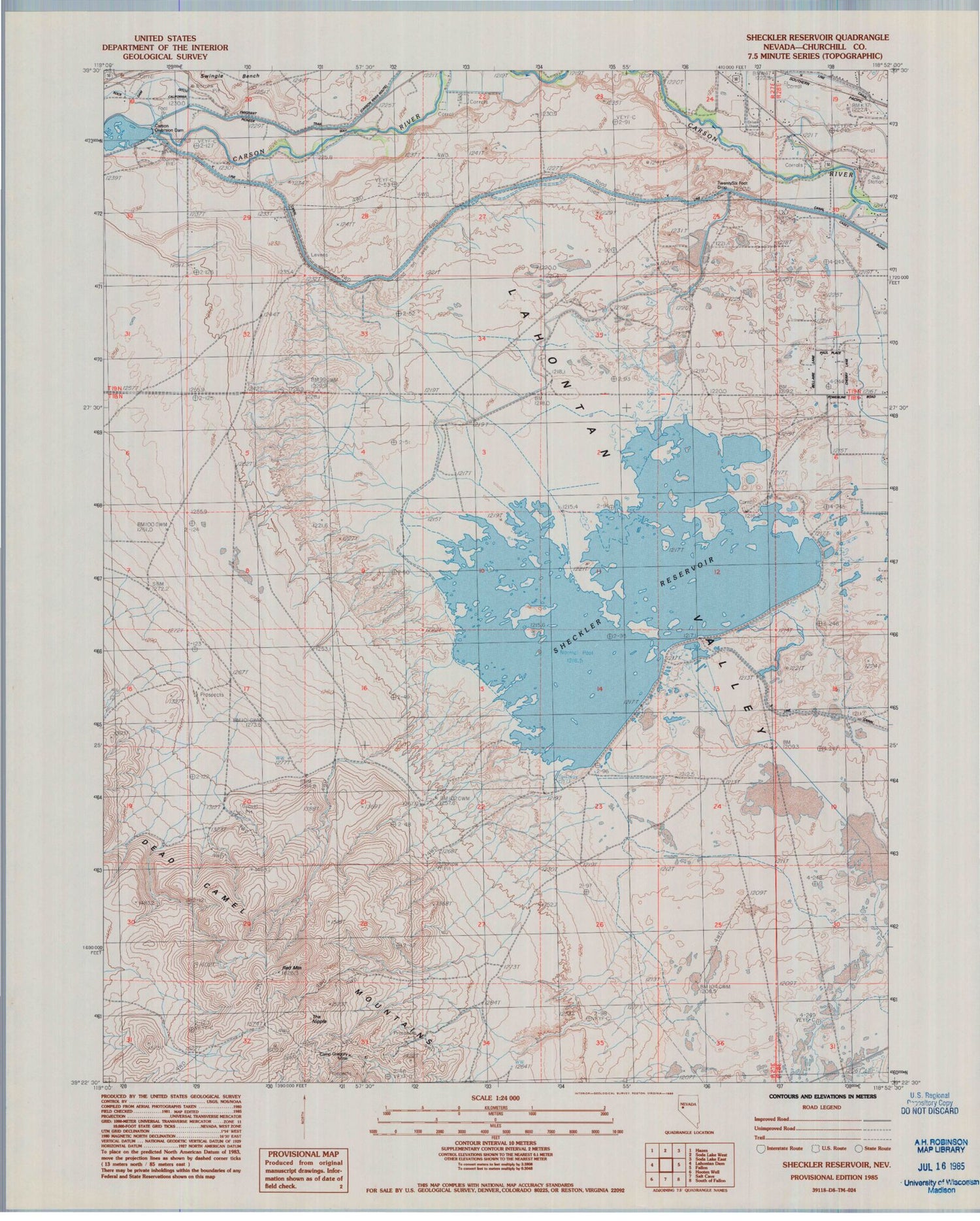
Classic USGS Sheckler Reservoir Nevada 7.5'x7.5' Topo Map
Couldn't load pickup availability
Historical USGS topographic quad map of Sheckler Reservoir in the state of Nevada. Map scale may vary for some years, but is generally around 1:24,000. Print size is approximately 24" x 27"
This quadrangle is in the following counties: Churchill.
The map contains contour lines, roads, rivers, towns, and lakes. Printed on high-quality waterproof paper with UV fade-resistant inks, and shipped rolled.
Contains the following named places: Camp Gregory Mine, Carson Diversion Dam, Frey Ranch, Gregory, Lahontan Valley, Mirage, N Line Canal, Northam School, Red Mountain, Rock of Ages Baptist Academy, Sheckler Dam, Sheckler Reservoir, The Nipple, Twenty Six Foot Drop, Upper West Side Drain, V Line Canal, Willowtown


