MyTopo
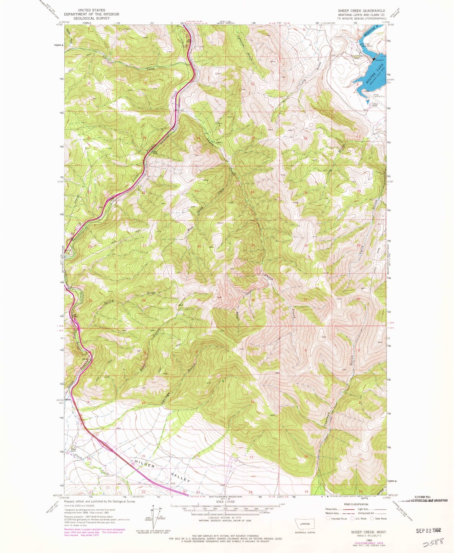
Classic USGS Sheep Creek Montana 7.5'x7.5' Topo Map
Couldn't load pickup availability
Historical USGS topographic quad map of Sheep Creek in the state of Montana. Map scale may vary for some years, but is generally around 1:24,000. Print size is approximately 24" x 27"
This quadrangle is in the following counties: Lewis and Clark.
The map contains contour lines, roads, rivers, towns, and lakes. Printed on high-quality waterproof paper with UV fade-resistant inks, and shipped rolled.
Contains the following named places: Bear Gulch, Central Montana Railroad Historical Marker, Clark Creek, Gleason, Holter Dam, Holter Post Office, Levings Gulch, Lichen Cliff Fishing Access Site, Little Creek, Lyons Creek Rest Area, Main Fork Little Creek, Manila, Middle Fork Little Creek, North Fork Little Creek, Oxbow Landing Strip, Oxbow Ranch, Prickly Pear Fishing Access Site, Rose Gulch, SE NE Section 10 Mine, SE SE Section 4 Mine, Sheep Creek, Sheep Creek Bridge, Sheep Creek Mine, Sieben Ranch, Spring Gulch, SW NW Section 14 Mine, Table Rock Fishing Access Site, West Sheep Creek, Wolf Creek Gaging Station, Wolf Creek Quarry, Wood Siding