MyTopo
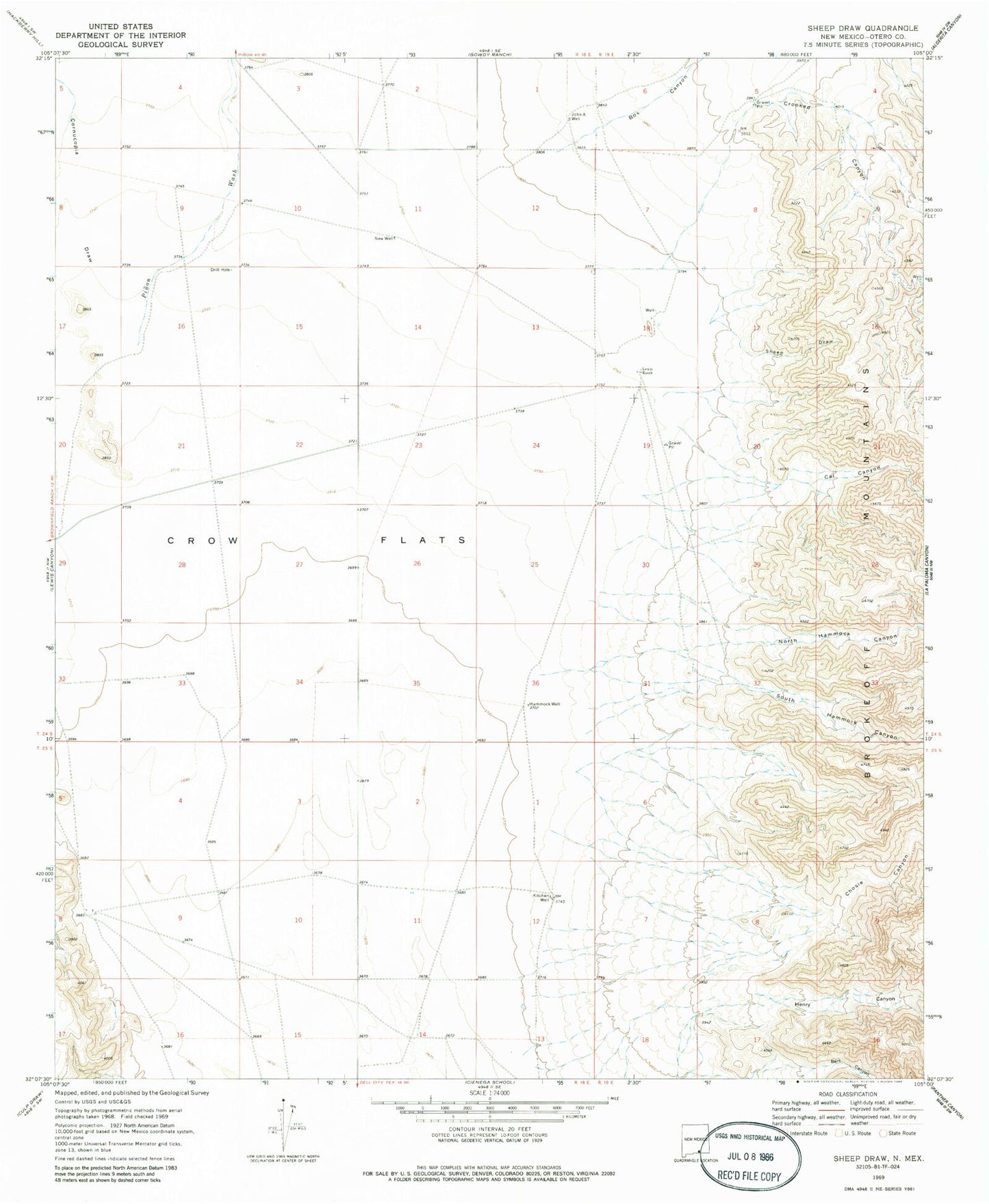
Classic USGS Sheep Draw New Mexico 7.5'x7.5' Topo Map
Regular price
$16.95
Regular price
Sale price
$16.95
Unit price
per
Couldn't load pickup availability
Historical USGS topographic quad map of Sheep Draw in the state of New Mexico. Map scale may vary for some years, but is generally around 1:24,000. Print size is approximately 24" x 27"
This quadrangle is in the following counties: Otero.
The map contains contour lines, roads, rivers, towns, and lakes. Printed on high-quality waterproof paper with UV fade-resistant inks, and shipped rolled.
Contains the following named places: Bert Canyon, Box Canyon, Cal Canyon, Chosie Canyon, Cornucopia Draw, Crooked Canyon, Crow Flats, Hammock Well, Henry Canyon, John A Well, Kitchen Well, Lewis Ranch, New Well, North Hammock Canyon, Perry Windmill, Pinon Wash, Sheep Draw, South Hammock Canyon