MyTopo
Classic USGS Sheep Mountain California 7.5'x7.5' Topo Map
Regular price
$16.95
Regular price
Sale price
$16.95
Unit price
per
Couldn't load pickup availability
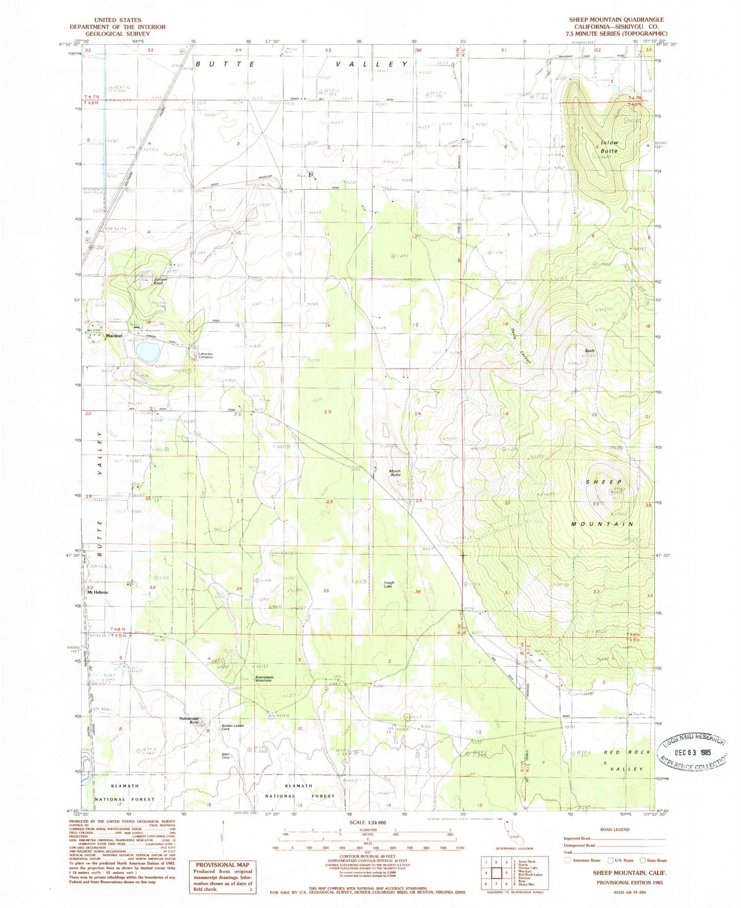
Historical USGS topographic quad map of Sheep Mountain in the state of California. Map scale may vary for some years, but is generally around 1:24,000. Print size is approximately 24" x 27"
This quadrangle is in the following counties: Siskiyou.
The map contains contour lines, roads, rivers, towns, and lakes. Printed on high-quality waterproof paper with UV fade-resistant inks, and shipped rolled.
Contains the following named places: Baldy, Butte Valley Division, Davis Canyon, Delis Ranch, Inlow Butte, Juniper Knoll, Juniper Knoll Pit, Lakeview Cemetery, Lough Lake, Murch Butte, Rattlesnake Butte, Red Rock Valley, Sheep Mountain, Somerset