MyTopo
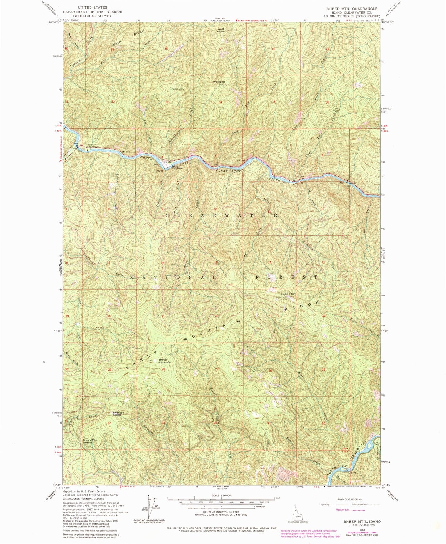
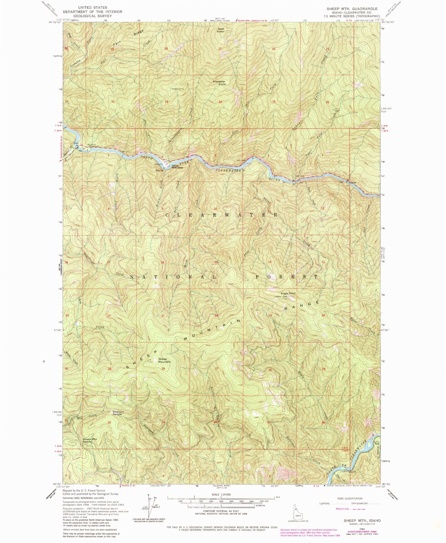
Classic USGS Sheep Mountain Idaho 7.5'x7.5' Topo Map
Couldn't load pickup availability
Historical USGS topographic quad map of Sheep Mountain in the state of Idaho. Map scale may vary for some years, but is generally around 1:24,000. Print size is approximately 24" x 27"
This quadrangle is in the following counties: Clearwater.
The map contains contour lines, roads, rivers, towns, and lakes. Printed on high-quality waterproof paper with UV fade-resistant inks, and shipped rolled.
Contains the following named places: Aquarius Campground, Beaver Creek, Broom Creek, Canyon Ranger Station, Canyon Work Center, Dog Creek, Eagle Creek, Eagle Point, Ermine Creek, Fern Creek, Fish Creek, Flat Creek, Governor Creek, Grasshopper Creek, June Creek, Len Creek, Leuty Creek, Lost Pete Creek, Lower Twin Creek, Owl Creek, Preceptor Point, Raft Creek, Sheep Creek, Sheep Mountain, Sheep Mountain Range, Sheep Mountain Saddle, Sneak Creek, Star Creek, Swanson Saddle, Upper Twin Creek, West Sister


