MyTopo
Classic USGS Sheep Rock Wyoming 7.5'x7.5' Topo Map
Regular price
$16.95
Regular price
Sale price
$16.95
Unit price
per
Couldn't load pickup availability
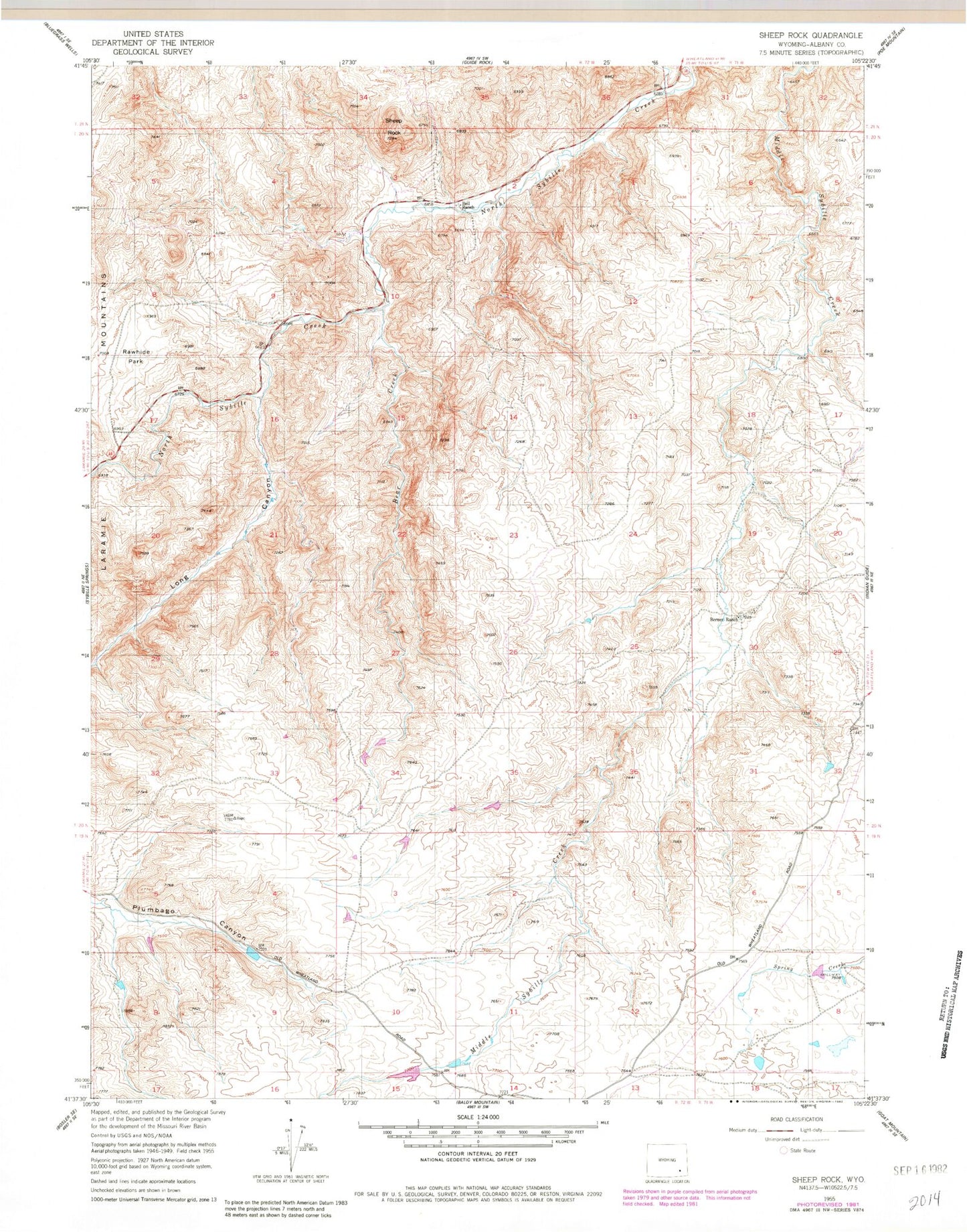
Historical USGS topographic quad map of Sheep Rock in the state of Wyoming. Map scale may vary for some years, but is generally around 1:24,000. Print size is approximately 24" x 27"
This quadrangle is in the following counties: Albany.
The map contains contour lines, roads, rivers, towns, and lakes. Printed on high-quality waterproof paper with UV fade-resistant inks, and shipped rolled.
Contains the following named places: Bear Creek, Bell Ranch, Berner Ranch, Canon Number 5 Dam, Canon Number 5 Reservoir, Laramie Range Mine, Long Canyon, Patrick Ryan Number 3 Dam, Rawhide Park, School Creek, Sheep Rock