MyTopo
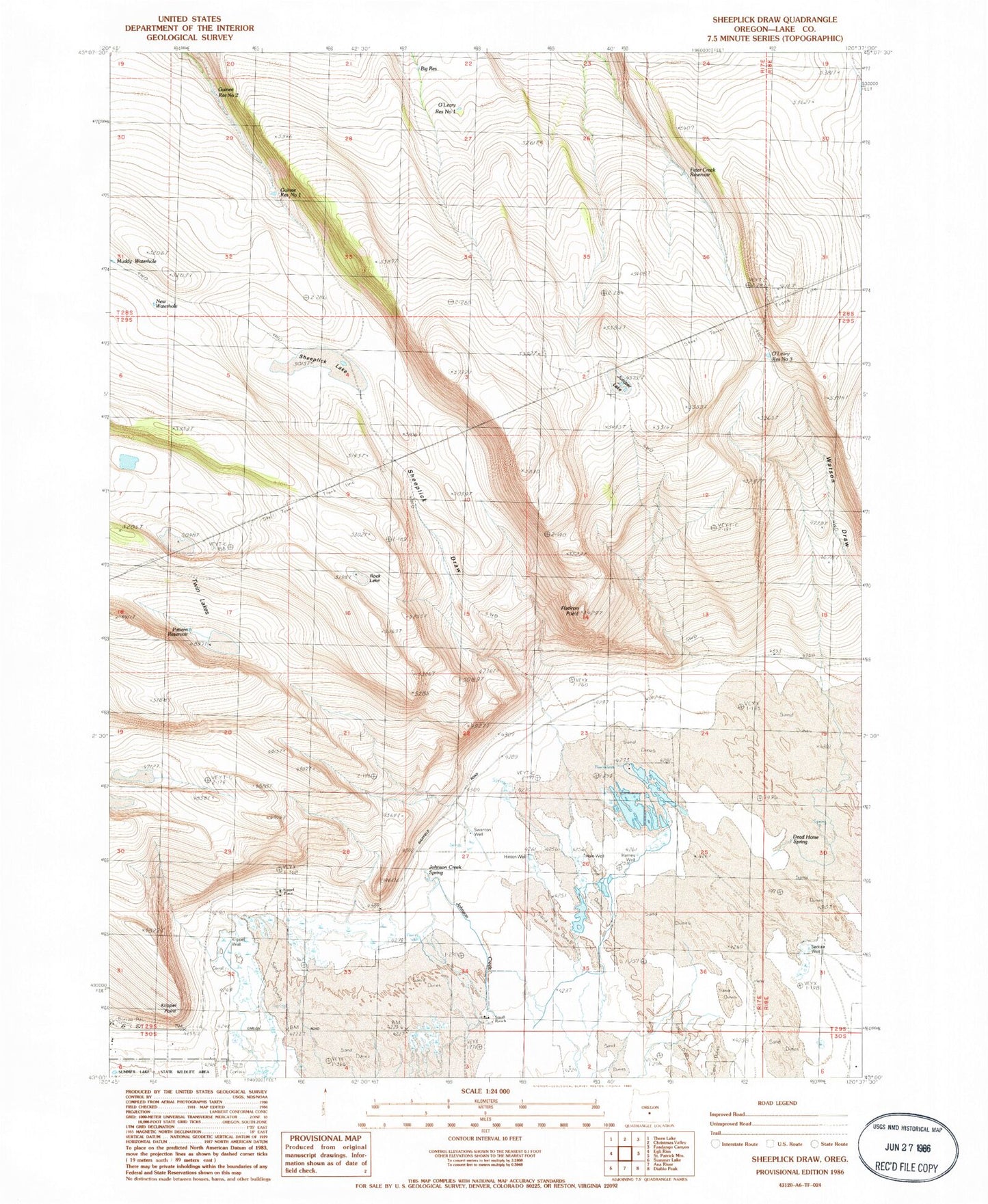
Classic USGS Sheeplick Draw Oregon 7.5'x7.5' Topo Map
Couldn't load pickup availability
Historical USGS topographic quad map of Sheeplick Draw in the state of Oregon. Map scale may vary for some years, but is generally around 1:24,000. Print size is approximately 24" x 27"
This quadrangle is in the following counties: Lake.
The map contains contour lines, roads, rivers, towns, and lakes. Printed on high-quality waterproof paper with UV fade-resistant inks, and shipped rolled.
Contains the following named places: Big Reservoir, Deadhorse Spring, Flatiron Point, Guinee Reservoir Number 1, Guinee Reservoir Number 2, Hale Well, Harney Well, Hinton Well, Johnson Creek, Johnson Creek Spring, Juniper Lake, Klippel Place, Klippel Point, Klippel Well, New Waterhole, O'Leary Reservoir Number 1, O'Leary Reservoir Number 3, Pattern Reservoir, Peter Creek Reservoir, Rock Lake, Sedora Well, Sheeplick Draw, Sheeplick Lake, Small Ranch, Squaw Butte, Squaw Lake, Swanton Well, Twin Lakes, Watson Draw