MyTopo
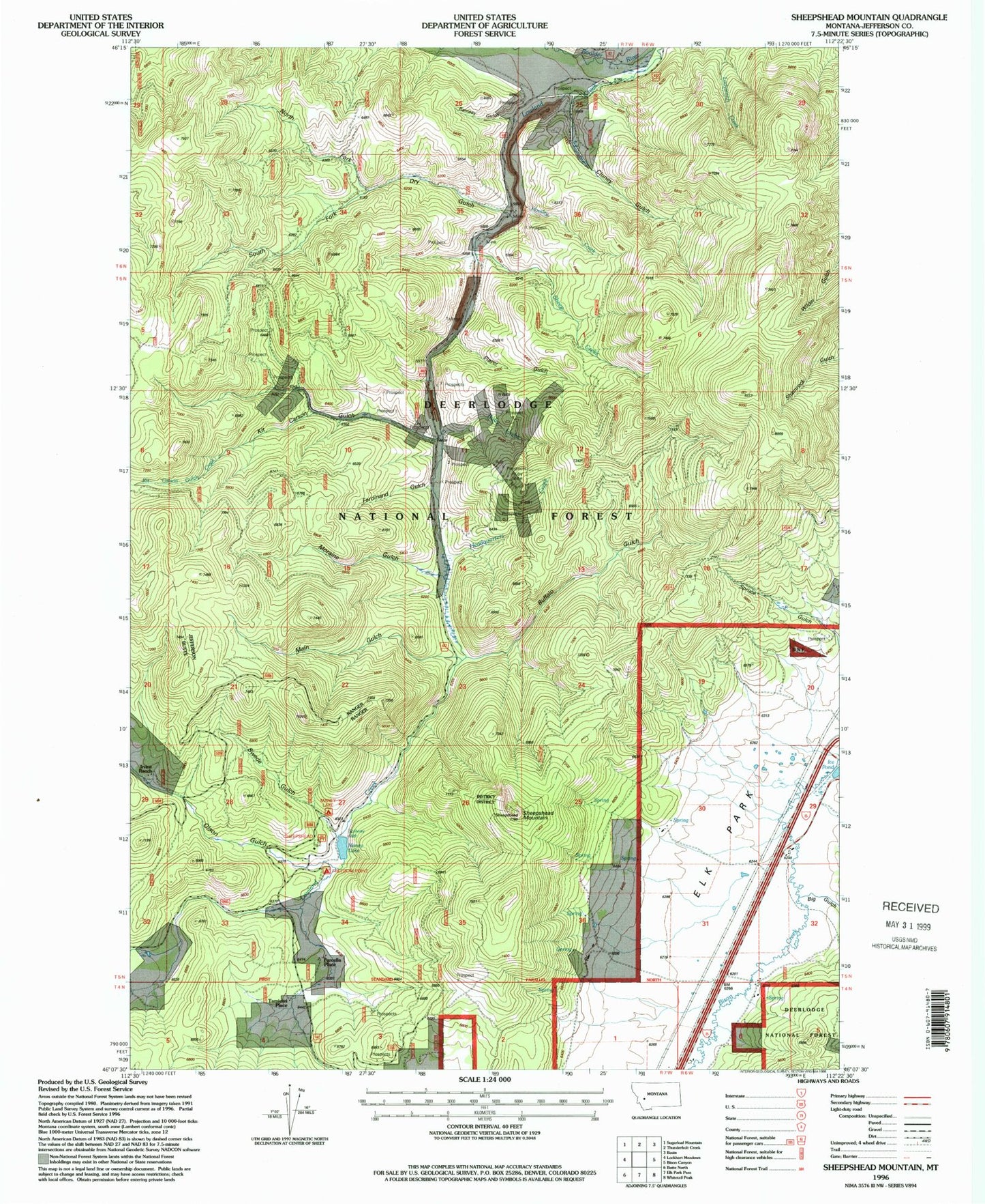
Classic USGS Sheepshead Mountain Montana 7.5'x7.5' Topo Map
Couldn't load pickup availability
Historical USGS topographic quad map of Sheepshead Mountain in the state of Montana. Map scale may vary for some years, but is generally around 1:24,000. Print size is approximately 24" x 27"
This quadrangle is in the following counties: Jefferson.
The map contains contour lines, roads, rivers, towns, and lakes. Printed on high-quality waterproof paper with UV fade-resistant inks, and shipped rolled.
Contains the following named places: Big Gulch, Buffalo Gulch, Cluney Gulch, Dry Gulch, Farcella Place, Ferdinand Gulch, Freedom Point Campground, Headquarters Creek, Ice Pond, Irvine Ranch, Kit Carson Gulch, Kit Carson Gulch Creek, Konda Ranch, Lowland Creek, Lowland Creek Dam, Main Gulch, Maney Lake, Moraine Gulch, NE NE Section 9 Mine, North Fork Dry Gulch, NW NW Section 13 Mine, Olson Gulch, Placer Gulch, Ramsey Gulch, Ruby Creek, Ruby Mine, SE SE Section 32 Mine, Sheep Creek, Sheepshead Mountain, Sheepshead Recreation Area, South Fork Dry Gulch, Spruce Gulch, SW SE Section 8 Mine, Swede Gulch, Tamieti Place


