MyTopo
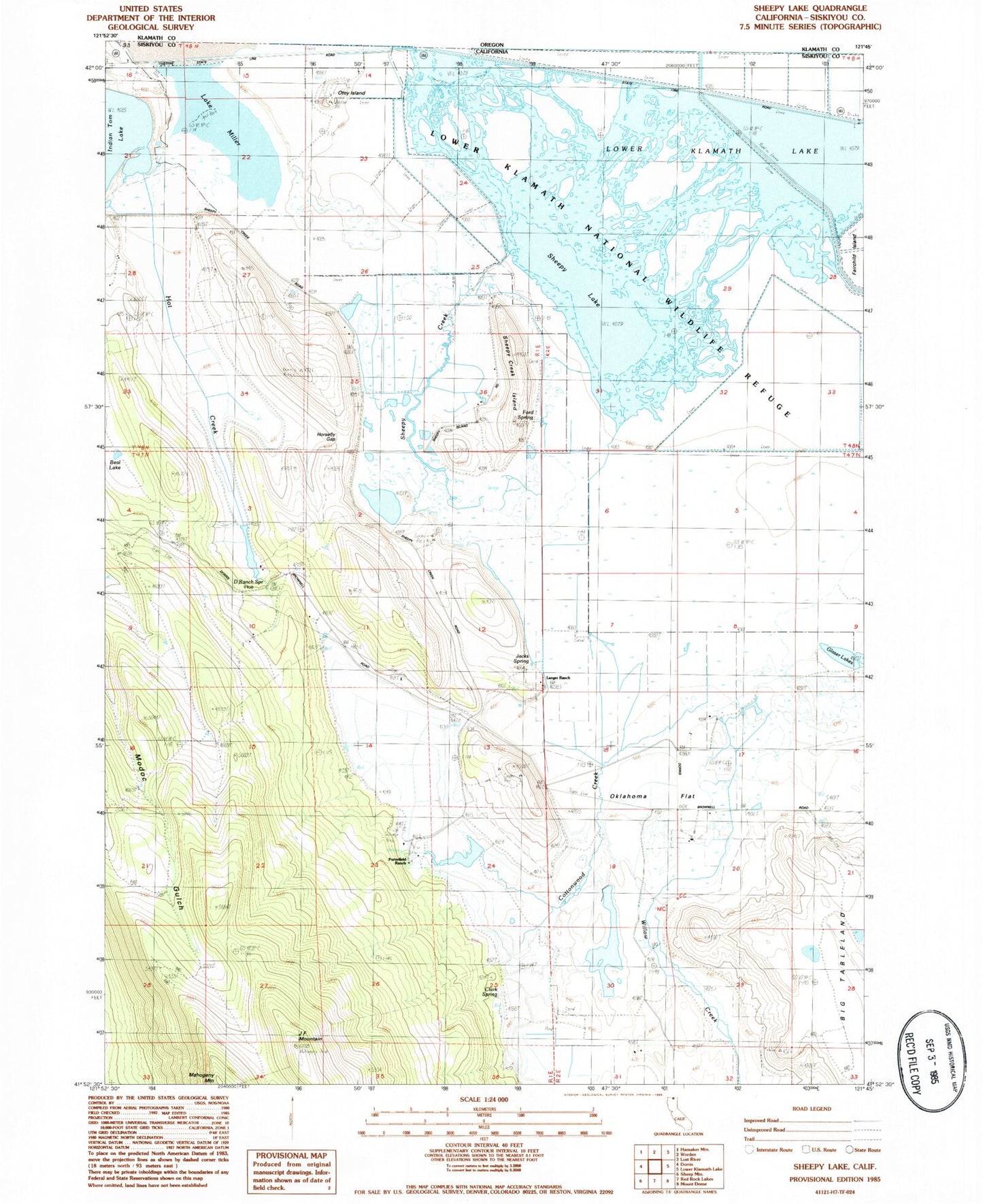
Classic USGS Sheepy Lake California 7.5'x7.5' Topo Map
Regular price
$16.95
Regular price
Sale price
$16.95
Unit price
per
Couldn't load pickup availability
Historical USGS topographic quad map of Sheepy Lake in the state of California. Map scale may vary for some years, but is generally around 1:24,000. Print size is approximately 24" x 27"
This quadrangle is in the following counties: Siskiyou.
The map contains contour lines, roads, rivers, towns, and lakes. Printed on high-quality waterproof paper with UV fade-resistant inks, and shipped rolled.
Contains the following named places: Beal Lake, Big Tableland, Clark Spring, Cottonwood Creek, D Ranch Spring, Ford Spring, Horsefly Gap, Hot Creek, J F Mountain, Jacks Spring, Langer Ranch, Oklahoma Flat, Oklahoma School, Otey Island, Porterfield Ranch, Sheepy Creek, Sheepy Creek Island, Sheepy Lake, Willow Creek