MyTopo
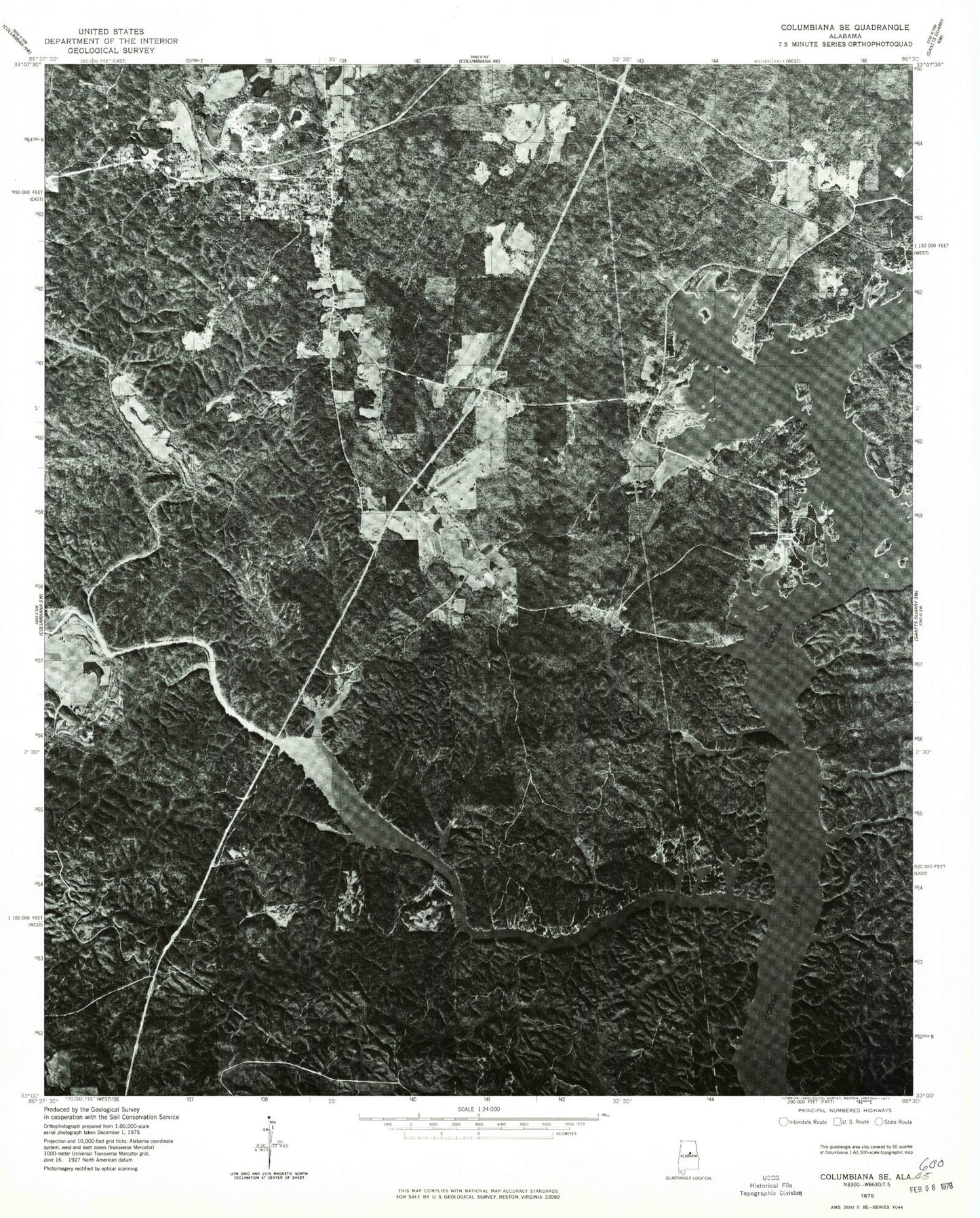
Classic USGS Shelby Alabama 7.5'x7.5' Topo Map
Couldn't load pickup availability
Historical USGS topographic quad map of Shelby in the state of Alabama. Map scale may vary for some years, but is generally around 1:24,000. Print size is approximately 24" x 27"
This quadrangle is in the following counties: Chilton, Coosa, Shelby.
The map contains contour lines, roads, rivers, towns, and lakes. Printed on high-quality waterproof paper with UV fade-resistant inks, and shipped rolled.
Contains the following named places: Aiken Creek, Armstrong Camp, Aucheucaula, Bay Spring, Bay Spring Church, Beaver Creek, Bethlehem Church, Blue Springs Fish Camp, Bozos Camp, Brasher Cemetery, Brewer School, Buxahatchee Creek, Camp Branch, Camp Waxahatchee Marina, Coagie Branch, Cole Temple Church, Corinth Church, Crawford Branch, Dogwood Point, Duck Branch, Etress Fish Camp, First Baptist Church, Glascock Camp, Joe Whites Fish Camp, Judge Shortridges Mill, Kates Branch, Kewahatchie, Kewahatchie Spring, Lacoosa Marina, Lay Lake, Leighs Camp, Merrell Beach, Mill Creek, Mostellers, Mud Creek, Old Shelby Cemetery, Pine Flat School, Pine Grove Village, Pleasant Grove Church, Providence Church, Reed Creek, Sawyer Cove, School Branch, Shelby, Shelby Census Designated Place, Shelby Elementary School, Shelby Fire Department, Shelby Garden of Rest, Shelby Post Office, Shelby Volunteer Fire and Rescue Department Station 1, Shelby Volunteer Fire and Rescue Department Station 3, Spring Creek, Spring Creek Camp, Spring Creek Church, Spring Grove Post Office, The Narrows, Turtle Point, Unchaula, Wares Furnace, Wash Creek, Watson Ford, Waxahatchee, Waxahatchee Camp, Waxahatchee Creek, Wildwood Shores, ZIP Code: 35143