MyTopo
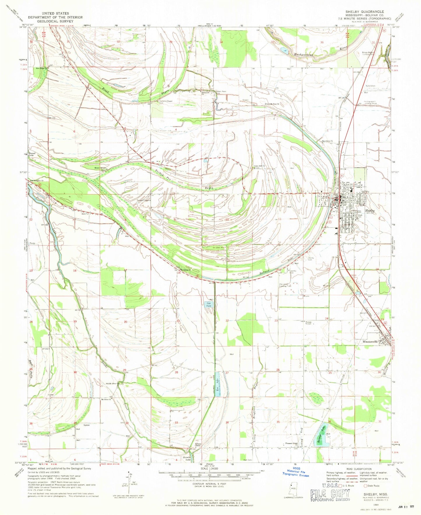
Classic USGS Shelby Mississippi 7.5'x7.5' Topo Map
Couldn't load pickup availability
Historical USGS topographic quad map of Shelby in the state of Mississippi. Map scale may vary for some years, but is generally around 1:24,000. Print size is approximately 24" x 27"
This quadrangle is in the following counties: Bolivar.
The map contains contour lines, roads, rivers, towns, and lakes. Printed on high-quality waterproof paper with UV fade-resistant inks, and shipped rolled.
Contains the following named places: Allendales Lake Dam, Bellamy Chapel, Broad Street High School, Brown Temple, California Brake, Christmas Airport, City of Shelby, Ditch Number Five, Ditch Number Four, Ditch Number One, Ditch Number Six, Ditch Number Three, Hall Cemetery, Holmes Lake, Holmes Lake Cut-Off, Macedonia Church, Manocknut Plantation, Mound Bayou Recreation Lake Dam, Mount Olive Church, New Hope Church, New Mount Zion Church, New Prospect Church, Old Mount Olive Church, Peters Rock Cemetery, Pleasant Green Church, Porter Lake, Raineys Lake, Saint James Church, Shelby, Shelby Air Service, Shelby Cemetery, Shelby City Police Department, Shelby Community Hospital, Shelby Elementary School, Shelby Post Office, Shelby Volunteer Fire Department Station 7, Sunnyside Church, Town of Winstonville, Turkey Pen Bayou, Turners Chapel, Turners Chapel Cemetery, Union Hill Church, Upper Bogue, Watson Temple, Winstonville, Winstonville Volunteer Fire Department, ZIP Codes: 38774, 38781