MyTopo
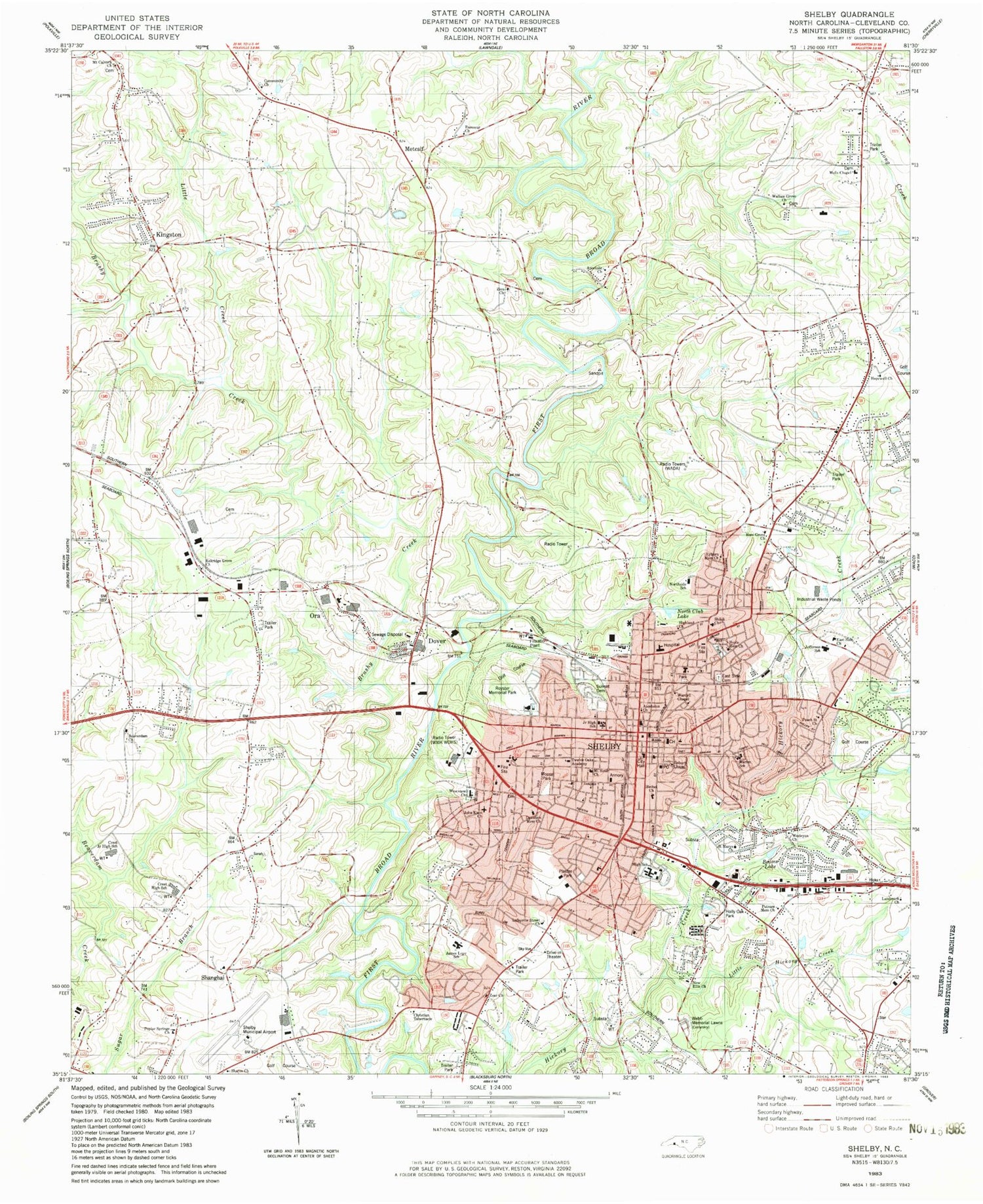
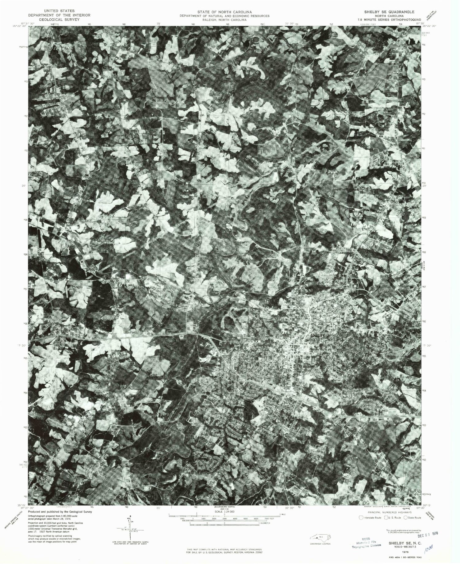
Classic USGS Shelby North Carolina 7.5'x7.5' Topo Map
Couldn't load pickup availability
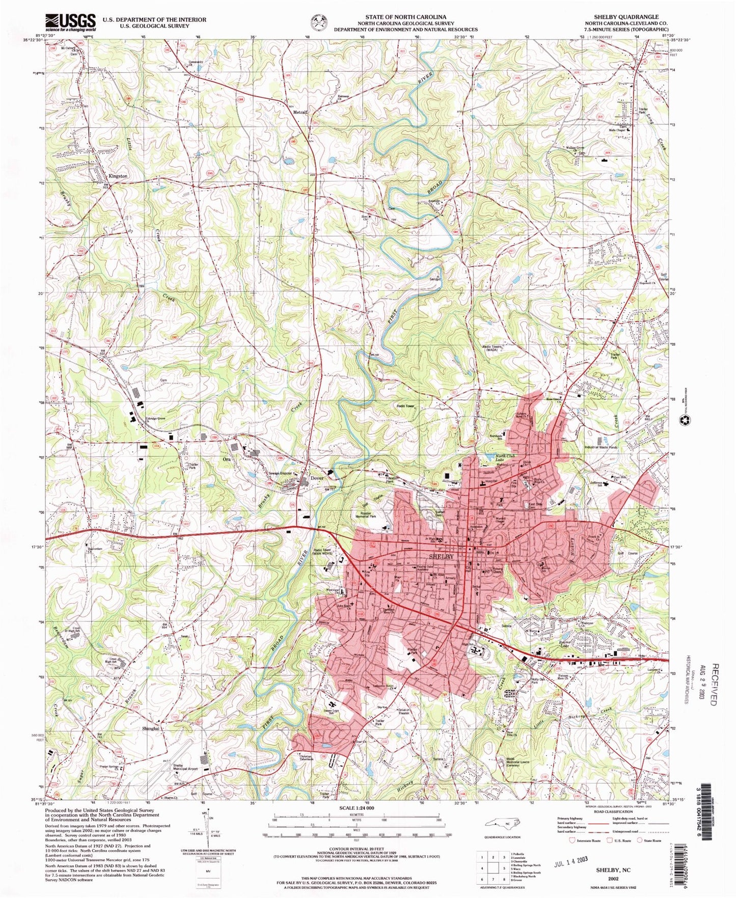
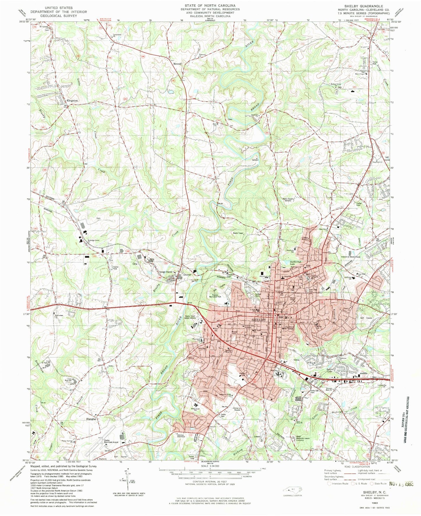
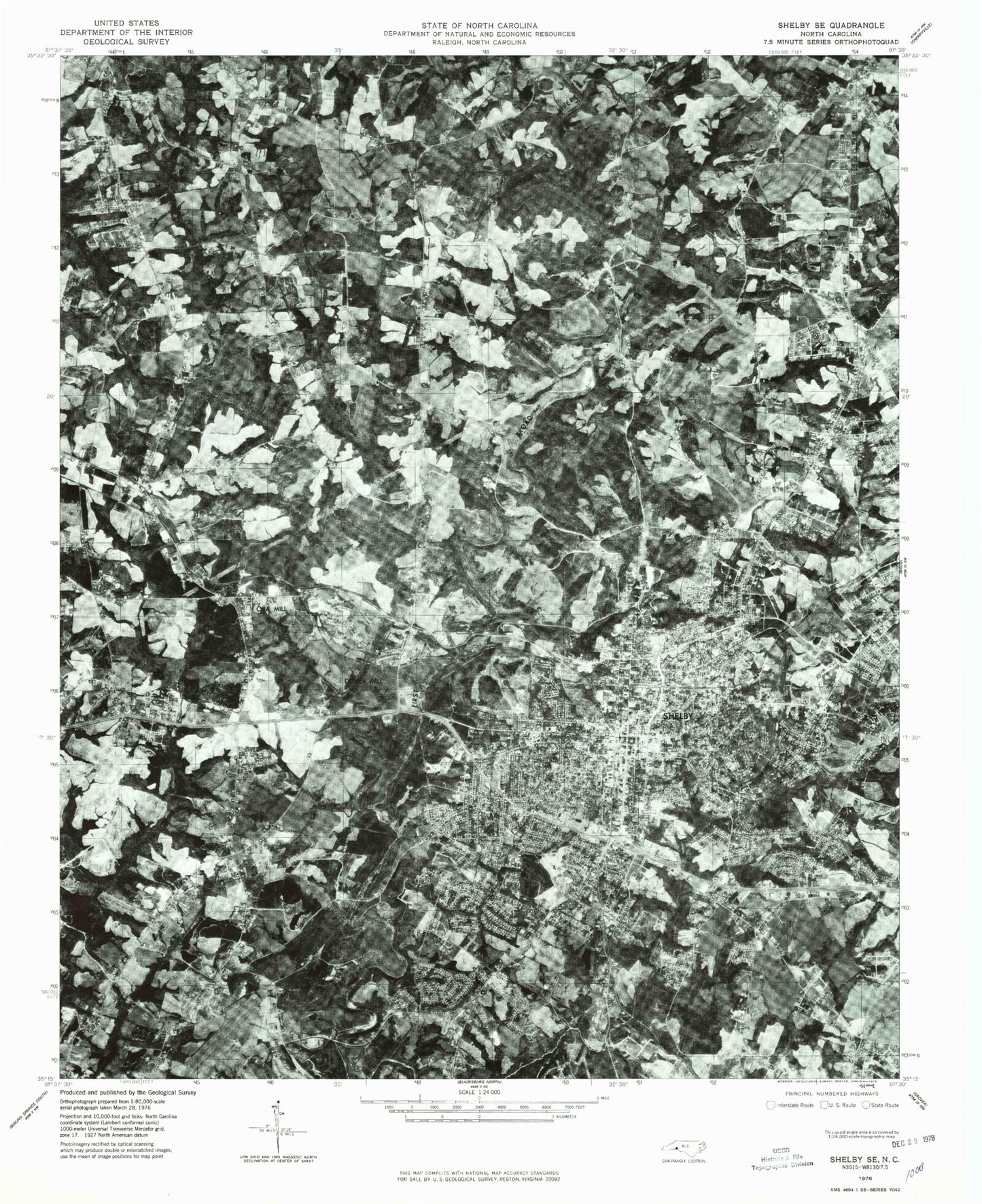
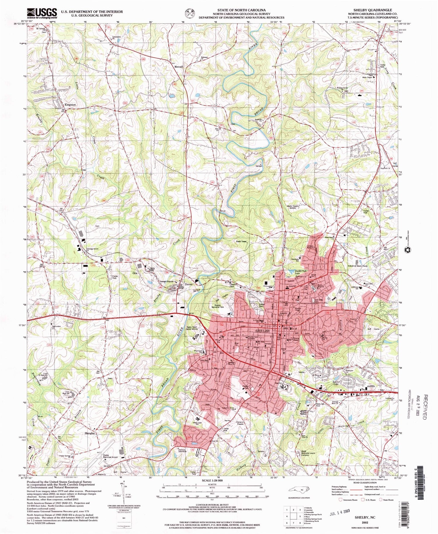
Historical USGS topographic quad map of Shelby in the state of North Carolina. Typical map scale is 1:24,000, but may vary for certain years, if available. Print size: 24" x 27"
This quadrangle is in the following counties: Cleveland.
The map contains contour lines, roads, rivers, towns, and lakes. Printed on high-quality waterproof paper with UV fade-resistant inks, and shipped rolled.
Contains the following named places: Beams Lake, Brushy Creek, Cleveland Country Club, Cornwall School, Dover School, East Side Cemetery, Martin Elliott Cemetery, Eskridge Grove School (historical), Holly Oak Park, Hopewell Church, Hopewell School, LaFayette Street Church, Little Creek, Little Harris Creek, Little Hickory Creek, Mulls Chapel, North Club Lake, Poplar Springs Baptist Church, Putnam Memorial Baptist Church, Ramseur School, Royster Memorial Golf Course, Shanghi School (historical), Shelby, Shelby Waterworks, Sunset Cemetery, Wallace Grove Baptist Church, Washington School, Webb Memorial Lawns Cemetery, Zion Baptist Church, Zoar School, Emile Gebel Lake, Emile Gebel Dam, Shelby-Cleveland County Regional Airport, Plaster Park, Blanton Industrial Park, Brittain Village, Byers Airport (historical), Cleveland County Historical Museum, Carolinas HealthCare System - Cleveland, Eastway Heights, Ezra Bridge Park, Fairway Heights, Graham School, Hickory Creek Park, Hickory Creek Shopping Center, Hillsdale, Hoskins Park, Huxley Village Shopping Center, Jefferson Park, Junior Women Club Park, Meadowbrook Manor Nursing Home, North Lake Country Club, Old Farm, Olsen Homes, Optimist Park, River Bend Golf Course, River Hills Plaza, Rocky Brook, Shelby Farmers Market, Shelby High School, Shelby Junior High School, Shelby Plaza Shopping Center, Sky City Shopping Center, Valleyhall, Washington Heights, Westwood Heights, John Knox Church, Mount Calvary Church, Ascension Lutheran Church, Wardell Chapell, Highland Church, Northside School, Shiloh Church, Hoyle Memorial Church, Ryburn Memorial Presbyterian Church, Peach Street Church, Jefferson School, East Side Church, Royster Memorial Park, Eskridge Grove Church, Crest Junior High School, Crest High School, Shanghai, Christian Tabernacle, James Love School, Lafayette Street United Methodist Church, Apostolic Church, Metcalf, Westview Church, John Knox Presbyterian Church, Landmark Church, Kingstown, Riverbend Acres, Country Club Gardens, Meadowood, Kenmon Acres, Rollingwood, Allendale, Allen Acres, Gidney Homes, Logan Street Public Housing, Pinehurst Acres, Crestmont Heights, Thompson Garden, Camden Acres, Woodsdale, Vestavia, Marion Elementary School, Wesleyan Church, Saint Marys Church, Cleveland County Court House, Roberts Chapel, New Ellis Church, Bethel Baptist Church, Shelby City Hall, Mount Sinai Church, Twelve Oaks Academy, Davidson Memorial Church, Community Baptist Church, Elks Club, Kings Mountain Baptist Association, Post 42 Amvets Club, American Legion, Brown Auditorium, Shelby Fire and Rescue Department Station 1, Cleveland County Health Department, Life Enrichment Center, Shelby Community Center, Cleveland County Memorial Library, Marlwood Park, Dover School, Dover Baptist Church, Cleveland County Maintenance, Sharon United Methodist Church, Cleveland County, WXIK-FM (Shelby), WOHS-AM (Shelby), WADA-AM (Shelby), Dover, Big Harris Creek, Zoar Baptist Church, Ramseur Church, Moose Park, Shelby Township 6 (historical), Beaverdam Baptist Church, Ora, Ross Grove Church, Beaver Dam Baptist Church Graveyard, Ross Grove Cemetery, Sharon Cemetery, Zion Baptist Cemetery, Bridgers Store (historical), Cabaniss Store (historical), Cleveland Gin (historical), Dixon Gin (historical), Queen Store (historical), Sperlings Store (historical), Poplar Grove Church (historical), Beaverdam School (historical), Spangle School (historical), Cleveland County Courthouse, Morning Star Church, Poplar Springs, Ross Grove, Zion, George Blanton Memorial Stadium, Sharon School (historical), Shelby Post Office, Shelby Presbyterian Church, Central Shelby Historic District, City of Shelby, Town of Kingstown, Shelby Fire Department Charles Road Station, Cleveland County Volunteer Fire Department, Dirt Dobber's Grass Strip, Cleveland County Emergency Medical Services Station 1, Shelby Fire and Rescue Department, Cleveland County Emergency Medical Services Station 22, Shelby Police Department, Cleveland County Sheriff's Office, Beams Lake, Brushy Creek, Cleveland Country Club, Cornwall School, Dover School, East Side Cemetery, Martin Elliott Cemetery, Eskridge Grove School (historical), Holly Oak Park, Hopewell Church, Hopewell School, LaFayette Street Church, Little Creek, Little Harris Creek, Little Hickory Creek, Mulls Chapel, North Club Lake, Poplar Springs Baptist Church, Putnam Memorial Baptist Church, Ramseur School, Royster Memorial Golf Course, Shanghi School (historical), Shelby, Shelby Waterworks, Sunset Cemetery, Wallace Grove Baptist Church, Washington School, Webb Memorial Lawns Cemetery, Zion Baptist Church, Zoar School, Emile Gebel Lake, Emile Gebel Dam, Shelby-Cleveland County Regional Airport, Plaster Park, Blanton Industrial Park, Brittain Village, Byers Airport (historical), Cleveland County Historical Museum, Carolinas HealthCare System - Cleveland, Eastway Heights, Ezra Bridge Park, Fairway Heights, Graham School, Hickory Creek Park, Hickory Creek Shopping Center, Hillsdale, Hoskins Park, Huxley Village Shopping Center, Jefferson Park, Junior Women Club Park, Meadowbrook Manor Nursing Home, North Lake Country Club, Old Farm, Olsen Homes, Optimist Park, River Bend Golf Course
