MyTopo
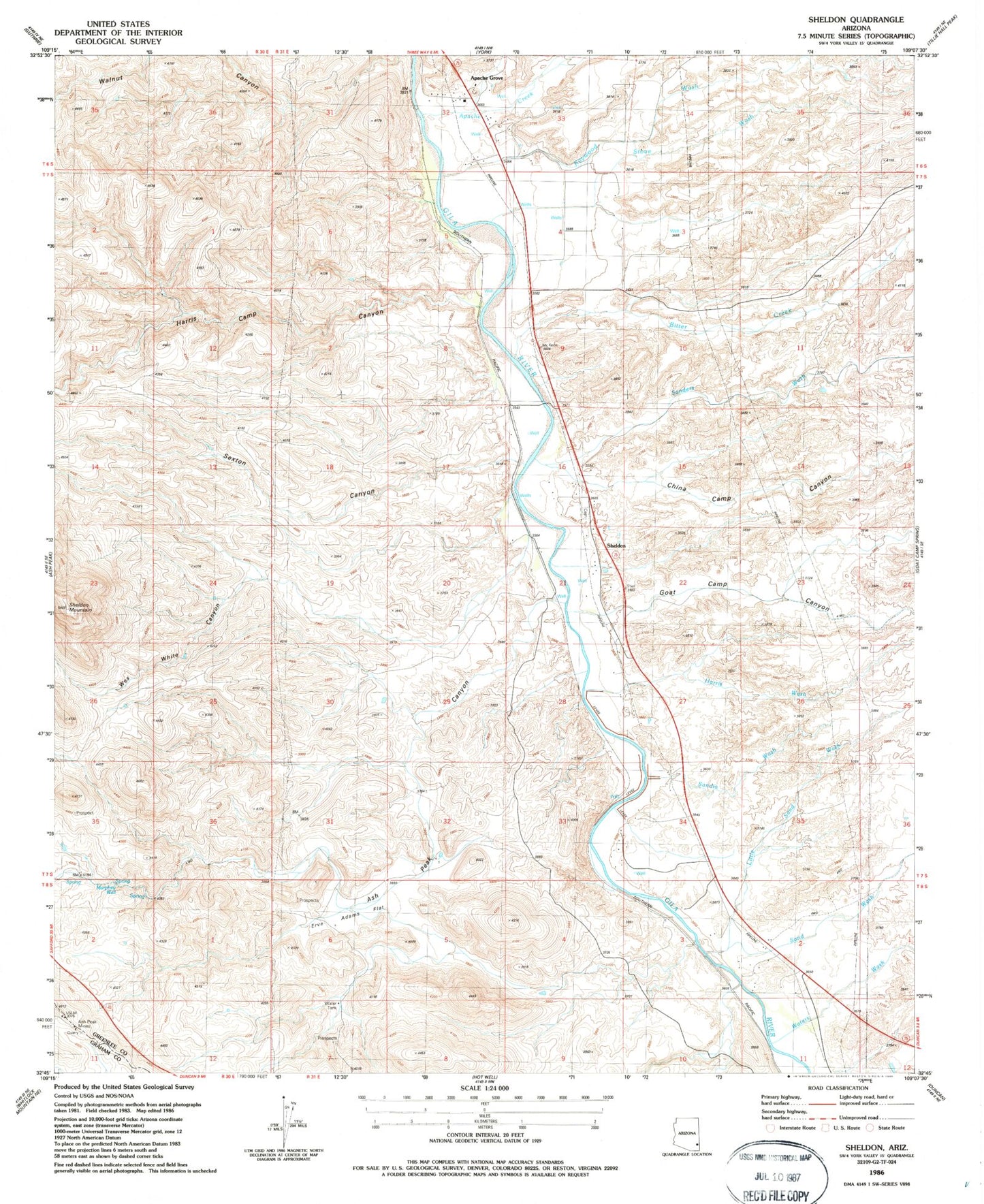
Classic USGS Sheldon Arizona 7.5'x7.5' Topo Map
Couldn't load pickup availability
Historical USGS topographic quad map of Sheldon in the state of Arizona. Map scale may vary for some years, but is generally around 1:24,000. Print size is approximately 24" x 27"
This quadrangle is in the following counties: Graham, Greenlee.
The map contains contour lines, roads, rivers, towns, and lakes. Printed on high-quality waterproof paper with UV fade-resistant inks, and shipped rolled.
Contains the following named places: Apache Creek, Apache Grove, Apache Gulch, Ash Peak Canyon, Bitter Creek, China Camp Canyon, Colmonero Canal, Duncan Division, Erve Adams Flat, Goat Camp Canyon, Harris Camp Canyon, Harris Wash, Kaywood Wash, Little Sand Wash, McKeon Ranch, Murphy Well, Sand Wash, Sanders Wash, Sandia Wash, Sexton Canyon, Sheldon, Sheldon Mountain, Stove Wash, Walnut Canyon, Waters Wash, Wes White Canyon, ZIP Code: 85534