MyTopo
Classic USGS Sheldon Iowa 7.5'x7.5' Topo Map
Couldn't load pickup availability
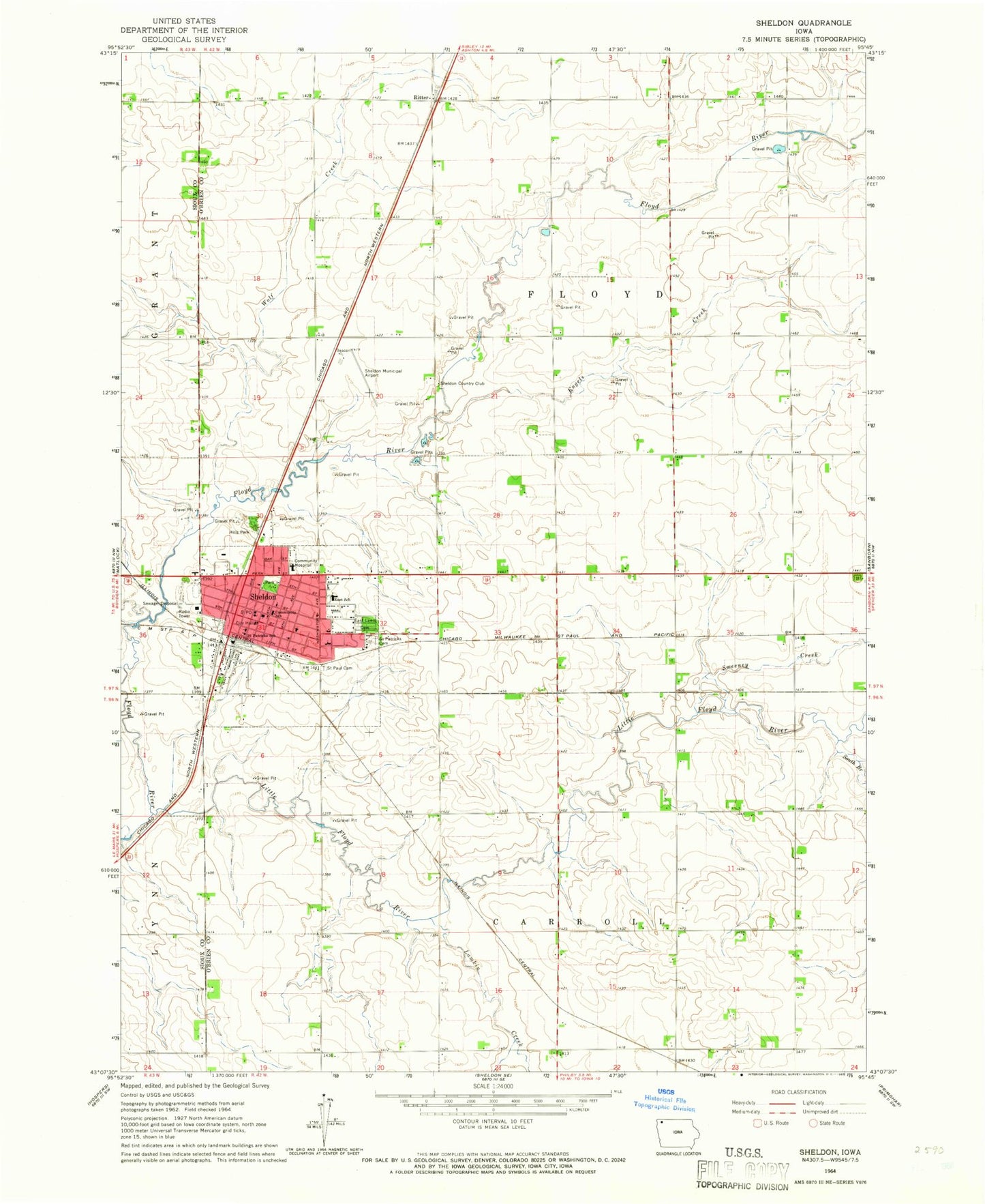
Historical USGS topographic quad map of Sheldon in the state of Iowa. Map scale may vary for some years, but is generally around 1:24,000. Print size is approximately 24" x 27"
This quadrangle is in the following counties: O'Brien, Sioux.
The map contains contour lines, roads, rivers, towns, and lakes. Printed on high-quality waterproof paper with UV fade-resistant inks, and shipped rolled.
Contains the following named places: Bethel Reformed Church, Calvary Baptist Church, Christian Retirement Home, City of Sheldon, Cottonwood Farm, D G Farms, East Elementary School, East Lawn Cemetery, Engels Creek, Evander, First Christian Reformed Church, First Reformed Church, Hengeveld Farm, Hills Park, Honoring World War I Veterans Historical Marker, Immanuel Christian Reformed Church, Iowa State Residential Treatment Center, Kay - Kel - Sha Farm, KIWA-AM (Sheldon), KIWA-FM (Sheldon), Lamkin Creek, Little Floyd River, Memorial to Four Pioneers Historical Marker, Miedema Chiropractic Clinic, Northwest Iowa Health Center, Northwest Iowa Urologists Center, Oak Park Care Center, Parkview Assembly Church, Pellerin Chiropractic Clinic, Ritter, Ruby Chiropractic Clinic, Saint Patrick's Catholic School, Saint Patricks Cemetery, Saint Patricks Church, Saint Paul Lutheran Cemetery, Saint Paul Lutheran Church, Sanford Sheldon Medical Center, Sheldon, Sheldon Branch Church of Latter Day Saints, Sheldon Chiropractic Clinic, Sheldon Christian School, Sheldon City Hall, Sheldon City Park, Sheldon Community Ambulance Team, Sheldon Country Club, Sheldon Family Practice Association, Sheldon Fire Department, Sheldon High School, Sheldon Middle School, Sheldon Police Department, Sheldon Post Office, Sheldon Prairie Museum, Sheldon Public Library, Sheldon Regional Airport, Siouxland Farmers Co-op Elevator, South Branch Little Floyd River, Sunrise Park, Sweeney Creek, Thorman Park, Township of Carroll, Township of Floyd, United Methodist Church, Wolf Creek, ZIP Code: 51201


