MyTopo
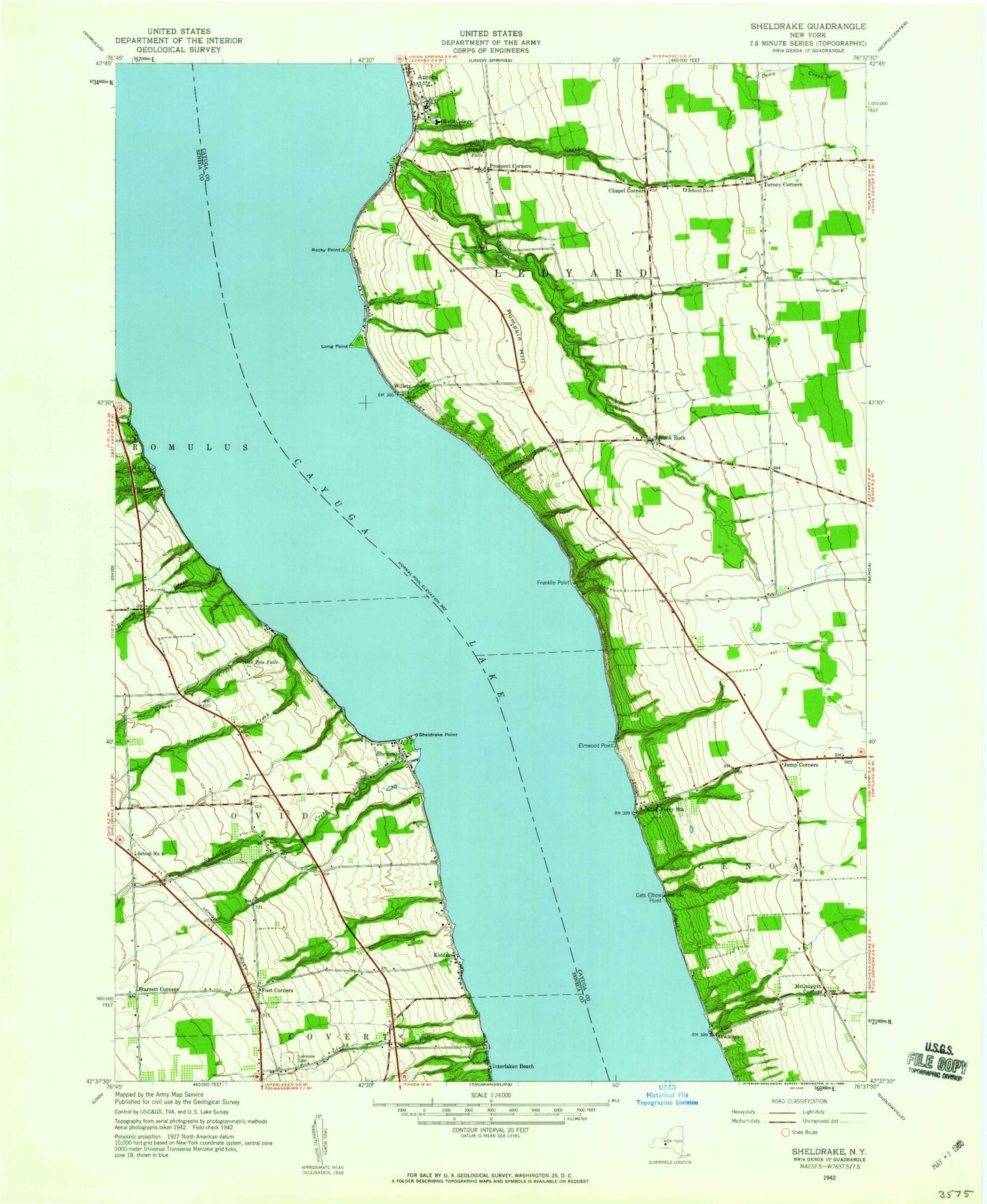
Classic USGS Sheldrake New York 7.5'x7.5' Topo Map
Couldn't load pickup availability
Historical USGS topographic quad map of Sheldrake in the state of New York. Map scale may vary for some years, but is generally around 1:24,000. Print size is approximately 24" x 27"
This quadrangle is in the following counties: Cayuga, Seneca.
The map contains contour lines, roads, rivers, towns, and lakes. Printed on high-quality waterproof paper with UV fade-resistant inks, and shipped rolled.
Contains the following named places: Airy-Acres Airport, Atwaters, Barler Music Hall, Barnum Creek, Beard Gully, Black Rock, Bloomer Creek, Buttlers Hollow, Campbell Art Building, Carter Gully, Cats Elbow Point, Cayuga Lake, Cayuga Ridge Estate Winery, Chapel Corners, Cleveland Hall of Languages, Clifton Falls, Dodge Residence Hall, Elm Beach, Elmwood Point, Faith Chapel, Foot Corners, Franklin Point, Friends Cemetery, Glen Park Mansion, Groves Creek, Hosmer Falls, Hosmer Winery, Interlaken Beach, Jump Corners, Kidders, King Ferry Golf Course, King Ferry Station, King Ferry Winery, Lakeview Cemetery, Leach House, Little Creek, Lively Run, Long Point, Long Point Orchard, Long Point State Park, Long Point Winery, Louis Jefferson Long Library, Lucas Vineyards And Winery, Luce Blueberry Farm, Mack Creek, Macmillan Hall, Main Building, Match Mate Airport, Maycrest Farms, McQuiggin Corners, Mendenhall Farm Cemetery, Moonshine Falls, Morgan Hall, Oak Tree Falls, Paines Creek, Peachtown Elementary School, Pettibone House, Powell Creek, Prospect Corners, Pumpkin Hill, School Number 4, School Number 8, Schwartz Athletic Center, Sheldrake, Sheldrake Cemetery, Sheldrake Creek, Sheldrake Point, Sheldrake Point Winery, Smith-Sommer Center, Starrett Corners, Stony Point, Stratton Science Building, Town of Ledyard, Turney Corners, Weld House, Wells College, Wells College Golf Course, Wells College Health Center, Weyers Point, Willets, Zabriskie Hall of Sciences, ZIP Codes: 13026, 13081


