MyTopo
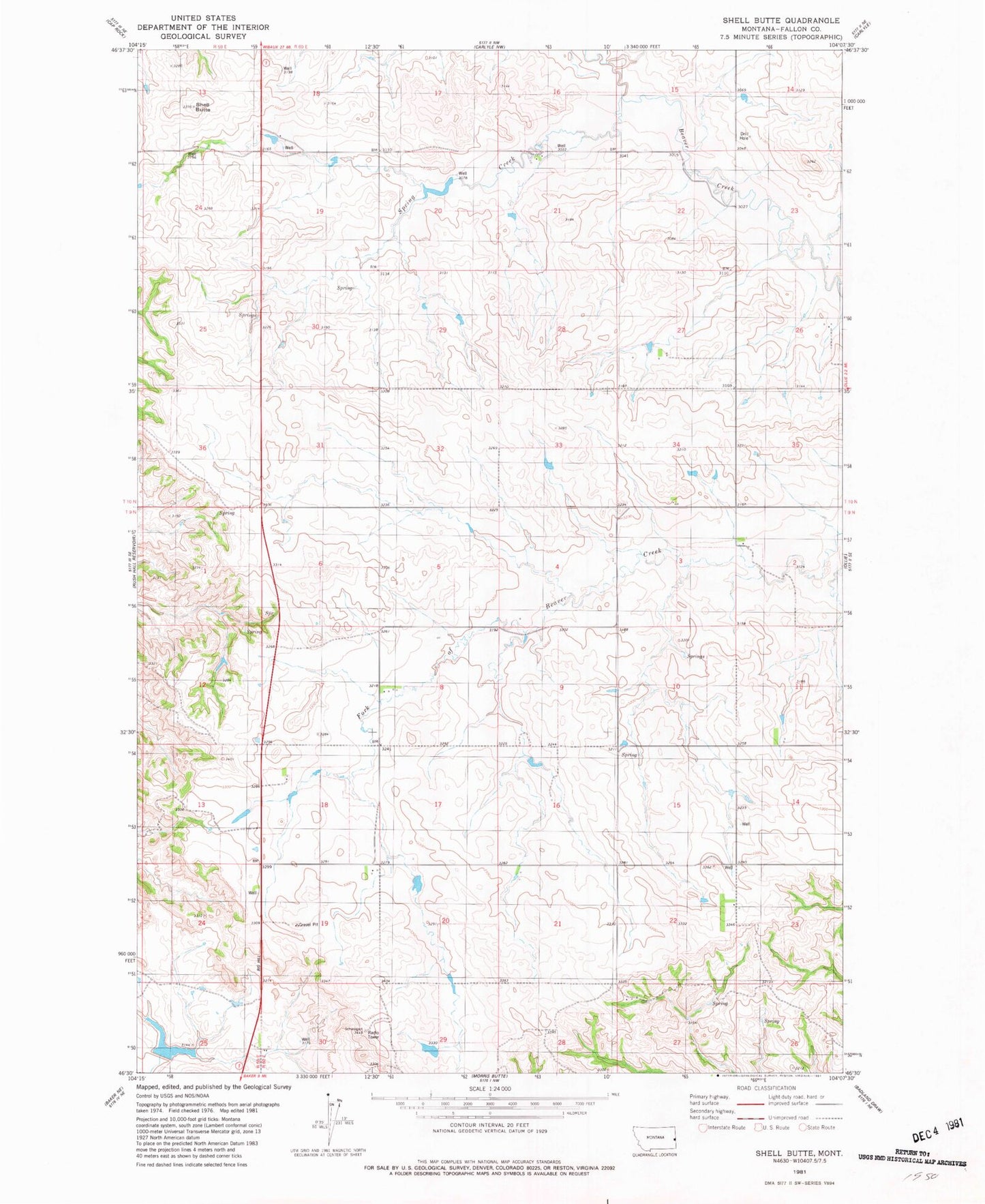
Classic USGS Shell Butte Montana 7.5'x7.5' Topo Map
Regular price
$16.95
Regular price
Sale price
$16.95
Unit price
per
Couldn't load pickup availability
Historical USGS topographic quad map of Shell Butte in the state of Montana. Map scale may vary for some years, but is generally around 1:24,000. Print size is approximately 24" x 27"
This quadrangle is in the following counties: Fallon.
The map contains contour lines, roads, rivers, towns, and lakes. Printed on high-quality waterproof paper with UV fade-resistant inks, and shipped rolled.
Contains the following named places: 09N60E08CBB_01 Well, 09N60E19AAA_01 Well, 09N60E23BCBC01 Well, 09N60E30CBBB01 Well, Eureka School, Halmans Number 1 Dam, Preston Post Office, Shell Butte, Spring Creek, Stark Dam