MyTopo
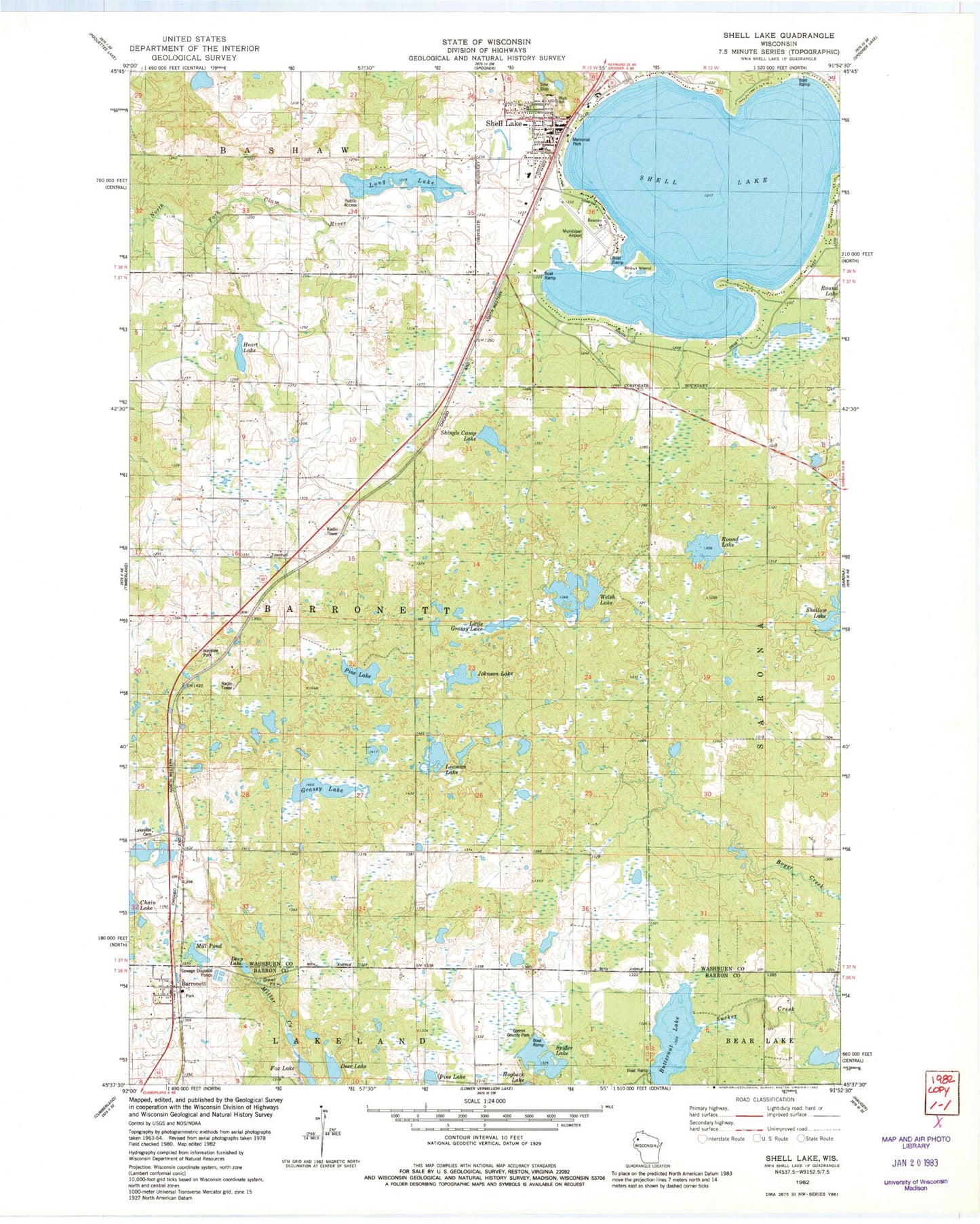
Classic USGS Shell Lake Wisconsin 7.5'x7.5' Topo Map
Couldn't load pickup availability
Historical USGS topographic quad map of Shell Lake in the state of Wisconsin. Map scale may vary for some years, but is generally around 1:24,000. Print size is approximately 24" x 27"
This quadrangle is in the following counties: Barron, Washburn.
The map contains contour lines, roads, rivers, towns, and lakes. Printed on high-quality waterproof paper with UV fade-resistant inks, and shipped rolled.
Contains the following named places: Barron County Park, Barronett, Barronett Census Designated Place, Barronett Post Office, Barronett Townhall, Brickyard School, Butternut Lake, City of Shell Lake, Deep Lake, Deer Lake, Fox Lake, Full Gospel Church, Grassy Lake, Heart Lake, Heart Lake Church, Indianhead Medical Center, Johnson Lake, Kingdom Hall of Jehovahs Witnesses, Lake Park Alliance Church, Lakeside Cemetery, Leaman Lake, Little Grassy Lake, Little Grassy Lake 3NW80814 Dam, Long Lake, Memorial Park, Mill Pond, Museum of Woodcarving, Northwood Technical College - Health Education Center, Pine Lake, Round Lake, Saint Johns German Lutheran Church, Saint Joseph Catholic Church, Saint Stephens Episcopal Church, Salem Lutheran Church, Scout Island, Shell Lake, Shell Lake City Hall, Shell Lake Elementary School, Shell Lake Fire Department, Shell Lake High School, Shell Lake Industrial Park, Shell Lake Junior - Senior High School, Shell Lake Municipal Airport, Shell Lake Municipal Campground, Shell Lake Police Department, Shell Lake Post Office, Shell Lake Primary School, Shingle Camp Lake, Spider Lake, Town of Barronett, Washburn County Courthouse, Washburn County Historical Museum, Washburn County Sheriff's Office, WCSW-AM (Shell Lake), Welsh Lake, WGMO-FM (Shell Lake)


