
MyTopo
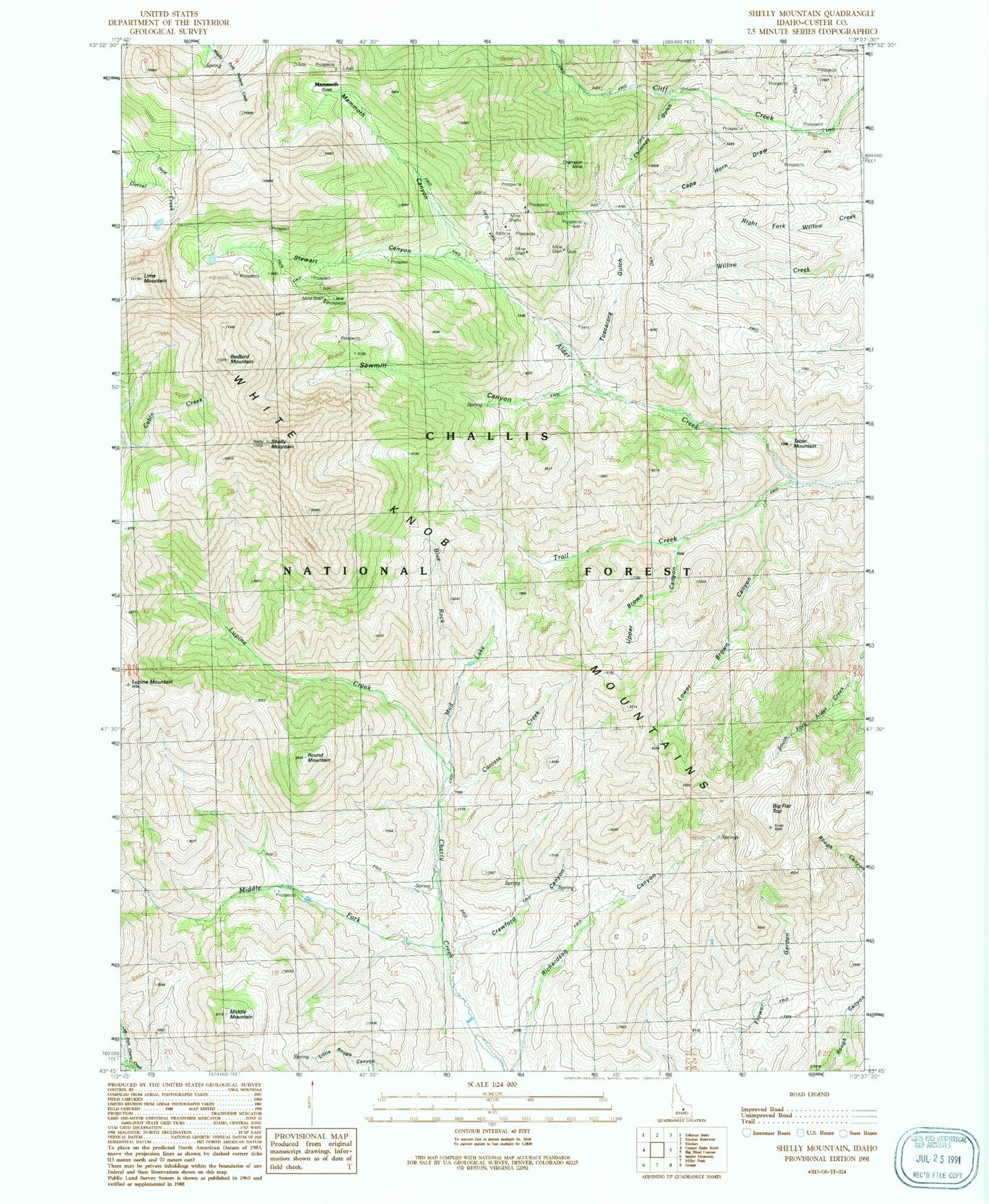
Classic USGS Shelly Mountain Idaho 7.5'x7.5' Topo Map
Couldn't load pickup availability
Historical USGS topographic quad map of Shelly Mountain in the state of Idaho. Map scale may vary for some years, but is generally around 1:24,000. Print size is approximately 24" x 27"
This quadrangle is in the following counties: Custer.
The map contains contour lines, roads, rivers, towns, and lakes. Printed on high-quality waterproof paper with UV fade-resistant inks, and shipped rolled.
Contains the following named places: Big Flat Top, Blue Rock, Cape Horn Draw, Carcass Creek, Champion Mine, Chimney Gulch, Crawford Canyon, Lime Mountain, Lower Brown Canyon, Lupine Creek, Lupine Mountain, Mammoth, Mammoth Canyon, Middle Fork Cherry Creek, Middle Mountain, Mud Lake, Redbird Mountain, Richardson Canyon, Round Mountain, Sawmill Canyon, Shelly Mountain, Stewart Canyon, Table Mountain, Trail Creek, Upper Brown Canyon, White Knob Mountains


