MyTopo
Classic USGS Shelton NE Nebraska 7.5'x7.5' Topo Map
Regular price
$16.95
Regular price
Sale price
$16.95
Unit price
per
Couldn't load pickup availability
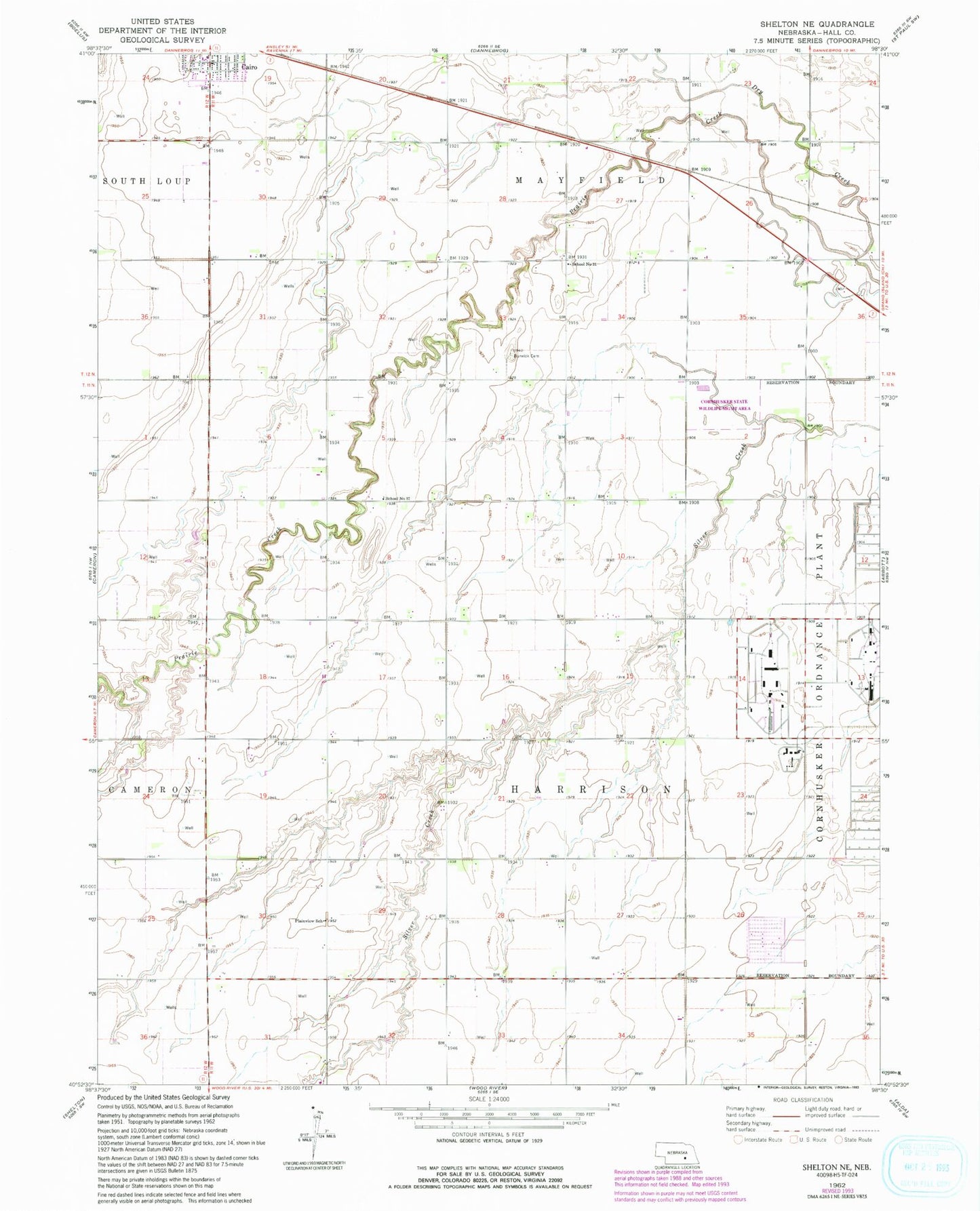
Historical USGS topographic quad map of Shelton NE in the state of Nebraska. Map scale may vary for some years, but is generally around 1:24,000. Print size is approximately 24" x 27"
This quadrangle is in the following counties: Hall.
The map contains contour lines, roads, rivers, towns, and lakes. Printed on high-quality waterproof paper with UV fade-resistant inks, and shipped rolled.
Contains the following named places: Berwick Cemetery, Cairo Volunteer Fire and Rescue, Cornhusker Ordnance Plant, Cornhusker State Wildlife Management Area, Dry Creek, Plainview School, School Number 31, School Number 37, School Number 76, Township of Harrison, ZIP Code: 68824