MyTopo
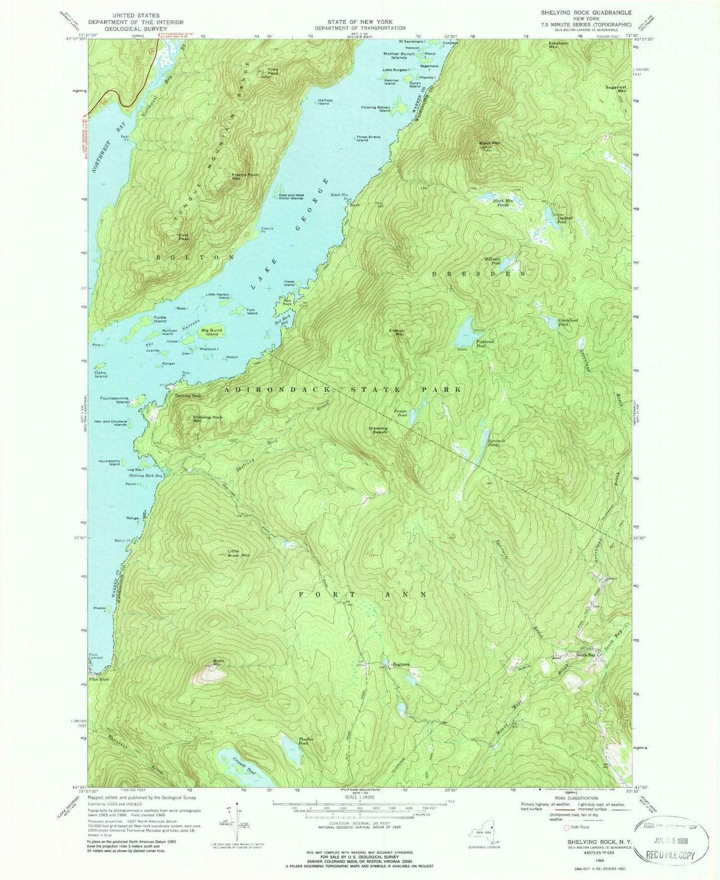
USGS Classic Shelving Rock New York 7.5'x7.5' Topo Map
Couldn't load pickup availability
Historical USGS topographic quad map of Shelving Rock in the state of New York. Scale: 1:24000. Print size: 24" x 27"
This quadrangle is in the following counties: Warren, Washington.
The map contains contour lines, roads, rivers, towns, lakes, and grids including latitude / longitude and UTM / MGRS. Printed on high-quality waterproof paper with UV fade-resistant inks.
Contains the following named places: Bass Island, Bear Point, Big Burnt Island, Black Mountain, Black Mountain Point, Black Mountain Ponds, Buck Mountain, Bumps Pond, Coopers Island, Crossett Pond, Duran Island, East and West Dollar Islands, Elephant Mountain, Erebus Mountain, Fifth Peak, First Peak, Fishbrook Pond, Floating Battery Island, Fork Island, Fourteenmile Island, French Point, French Point Mountain, Glen Island, Greenland Pond, Halfway Island, Hatchet Island, Hazel Island, Hen and Chickens Islands, Hogtown, Horicon Island, Huckleberry Island, Juanita Island, Lapland Pond, Little Buck Mountain, Little Burgess Island, Little Harbor Island, Log Bay Island, Millman Pond, Mohican Island, Mother Bunch Islands, Mount Hope Brook, Northwest Bay, Northwest Bay Brook, Pearl Point, Perch Island, Phantom Island, Phelps Island, Phenita Island, Picnic Island, Pine Island, Ranger Island, Red Rock Bay, Refuge Island, Sagamore Island, Shelving Rock, Shelving Rock Bay, Shelving Rock Brook, Shelving Rock Mountain, Sleeping Beauty, South Bay, Spectacle Brook, Spectacle Ponds, The Narrows, Three Sirens Island, Thurber Pond, Turtle Island, Uncas Island, Watch Island, Watch Point, Lake George, Oahu Island, Northwest Waterbird Seaplane Base (historical)


