MyTopo
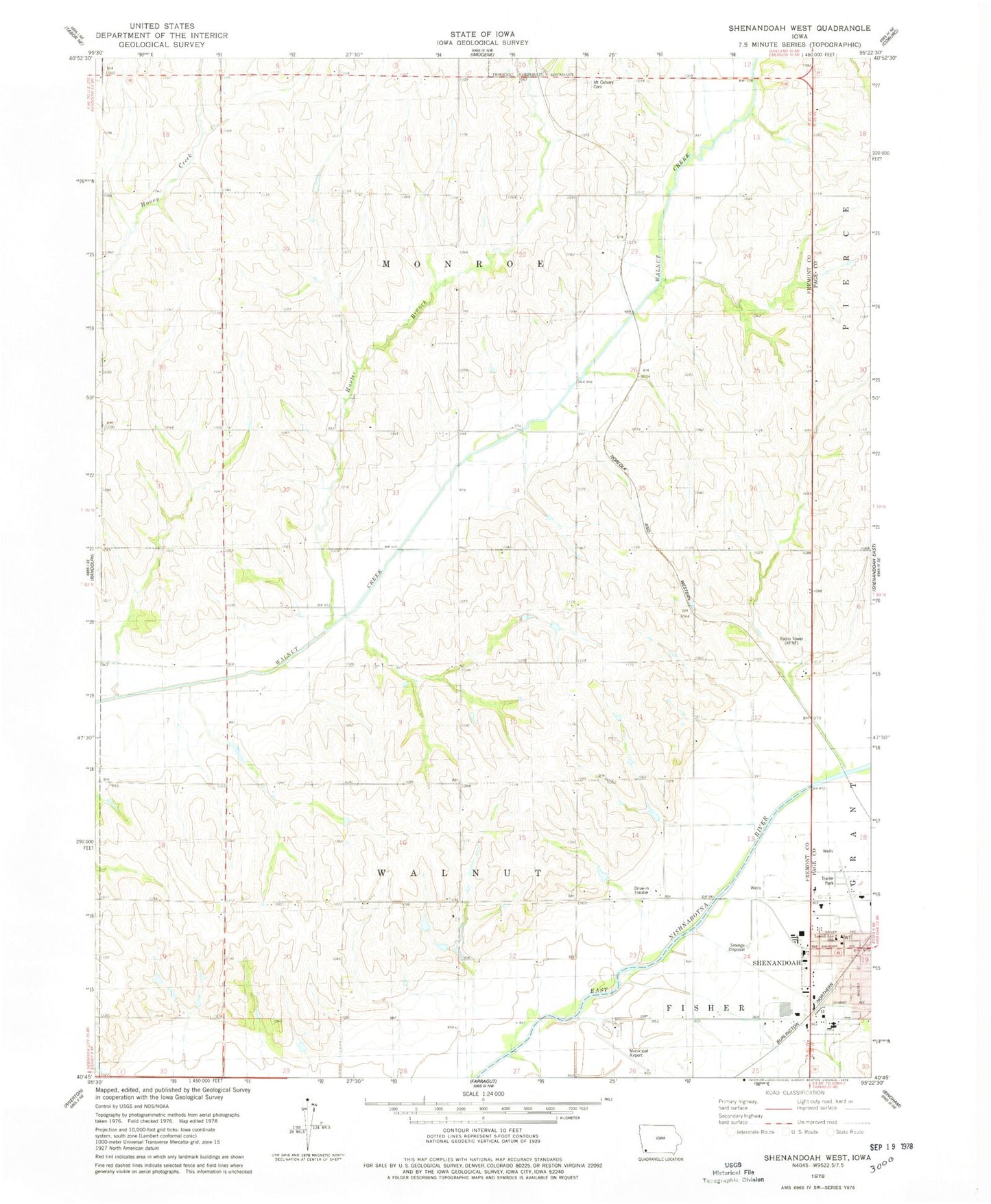
Classic USGS Shenandoah West Iowa 7.5'x7.5' Topo Map
Couldn't load pickup availability
Historical USGS topographic quad map of Shenandoah West in the state of Iowa. Map scale may vary for some years, but is generally around 1:24,000. Print size is approximately 24" x 27"
This quadrangle is in the following counties: Fremont, Page.
The map contains contour lines, roads, rivers, towns, and lakes. Printed on high-quality waterproof paper with UV fade-resistant inks, and shipped rolled.
Contains the following named places: Corey, Cory Post Office, Fair Oaks Care Center, Faith Christian Fellowship, Farmer City, Farmer City Post Office, Fiftyniner Motel and Campgrounds, Fisher Creek, Garden View Care Center, Grace Community Fellowship, Hunter Branch, Living Word Academy, Lowell Avenue Elementary School, Memorial Baptist Church, Mercy Center of Shenandoah, Mount Calvary Cemetery, New Testament Church of Christ, Nunda, Nunda Post Office, Shenandoah, Shenandoah Municipal Airport, Summit, Towell Avenue School, Township of Monroe, Township of Walnut, Vaughn Post Office, Walnut Creek Post Office