MyTopo
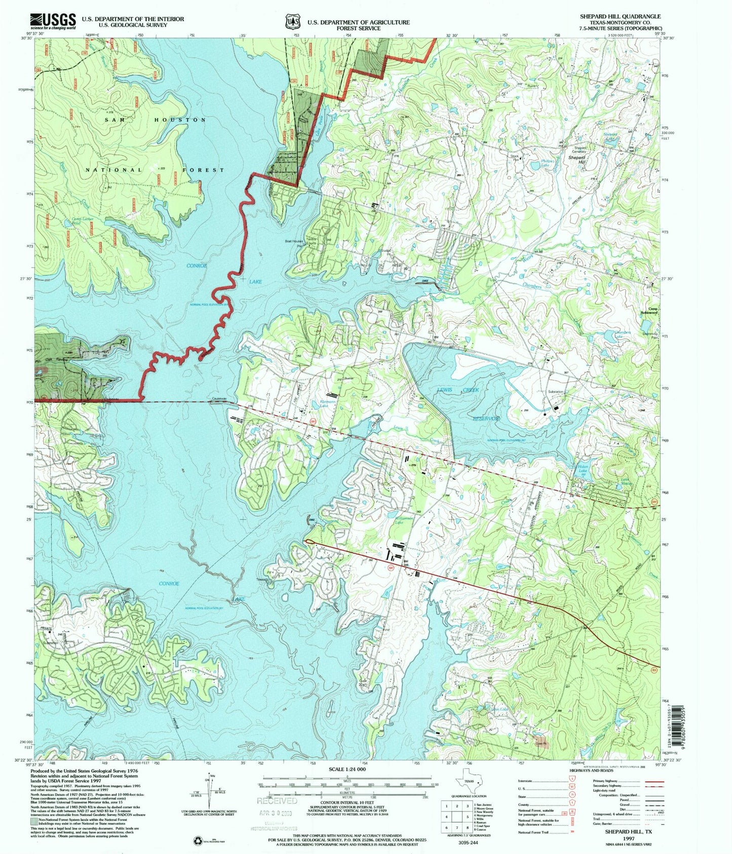
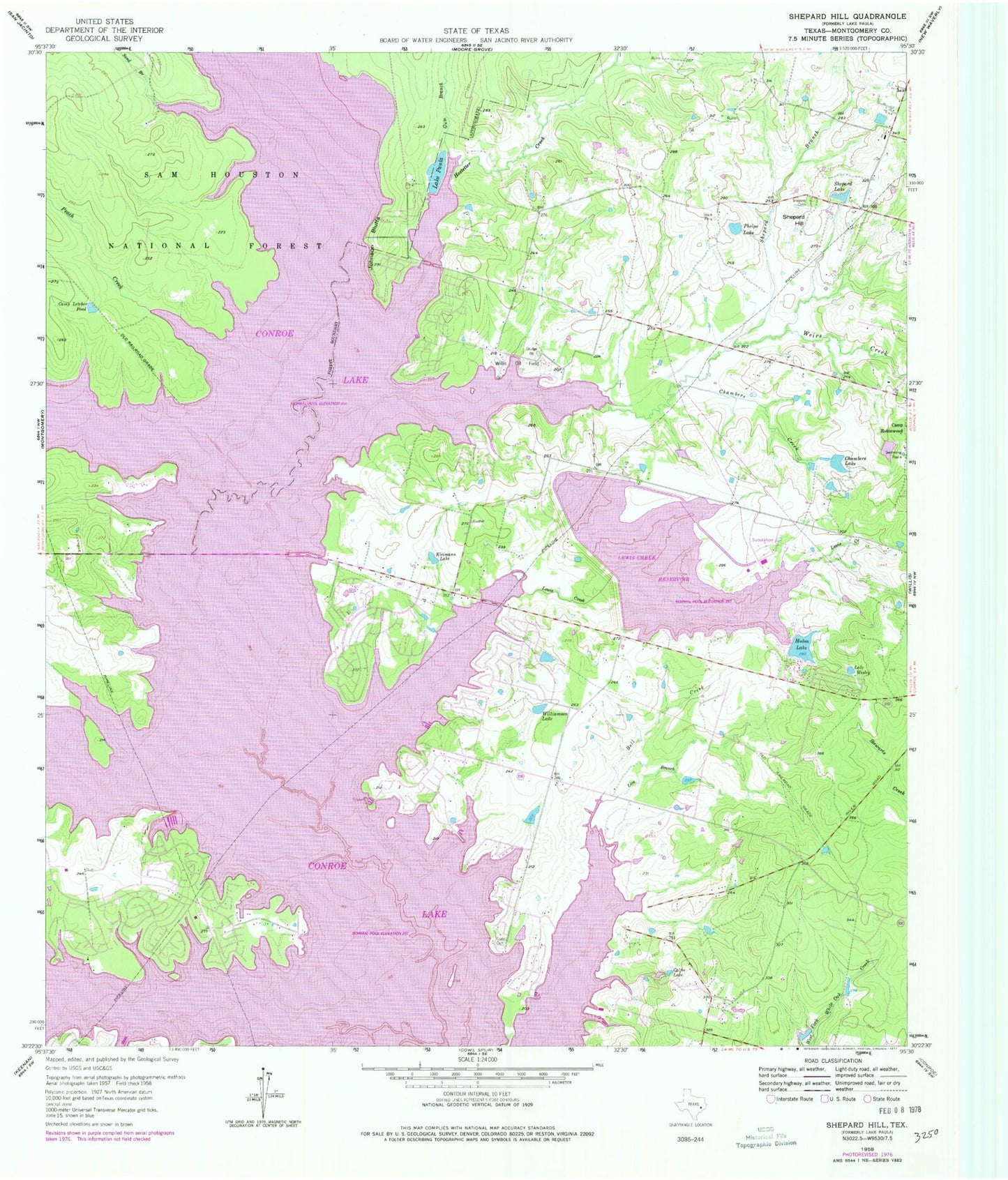
Classic USGS Shepard Hill Texas 7.5'x7.5' Topo Map
Couldn't load pickup availability
Historical USGS topographic quad map of Shepard Hill in the state of Texas. Typical map scale is 1:24,000, but may vary for certain years, if available. Print size: 24" x 27"
This quadrangle is in the following counties: Montgomery.
The map contains contour lines, roads, rivers, towns, and lakes. Printed on high-quality waterproof paper with UV fade-resistant inks, and shipped rolled.
Contains the following named places: Bell Creek, Calfee Lake, Camp Letcher Pond, Camp Robinwood, Chambers Creek, Chambers Lake, Gum Branch, Hulon Lake, Johnson Bluff, Kleimann Lake, Lewis Creek, Lewis Creek Reservoir, Live Branch, Lake Paula, Peach Creek, Phelps Lake, Pin Oak Ravine, Sand Branch, Shepard Branch, Shepard Cemetery, Shepard Hill, Shepard Lake, Weirs Creek, Lake Wesley, Williamson Lake, Willis Oil Field, Hostetter Creek, Lake Conroe, Atkins Creek, Peach Creek, South Branch, Weirs Creek, Gum Branch, Gdap Air Ranch, Glenview Number 1 Heliport, Sartor Heliport, Chambers Lake Dam, Lewis Creek Dam, Hulon Lake Dam, Lake Ann Dam, Lake Ann, Montgomery Fire Department Station 54, North Montgomery County Fire Department Station 96, North Montgomery County Fire Department Station 94, Flying Hare Field, Protec Ambulance Transport, Montgomery County Sheriff's Office - District 5 Patrol


