MyTopo
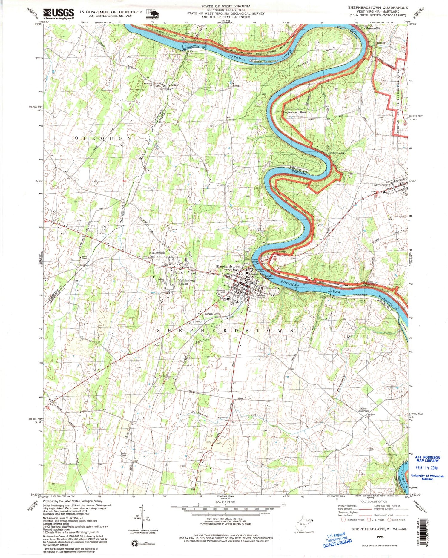
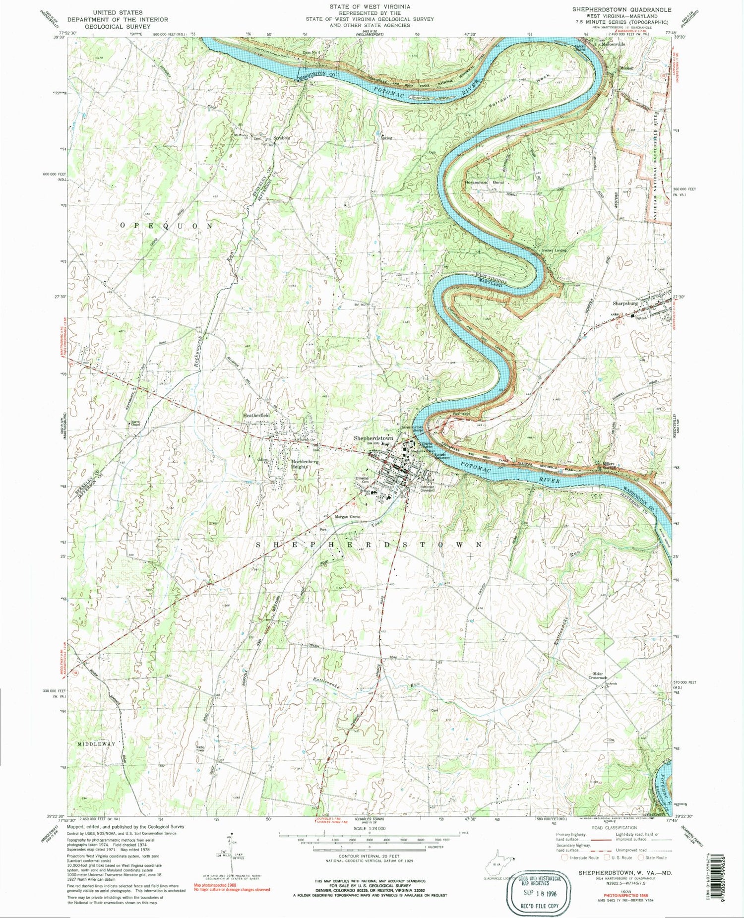
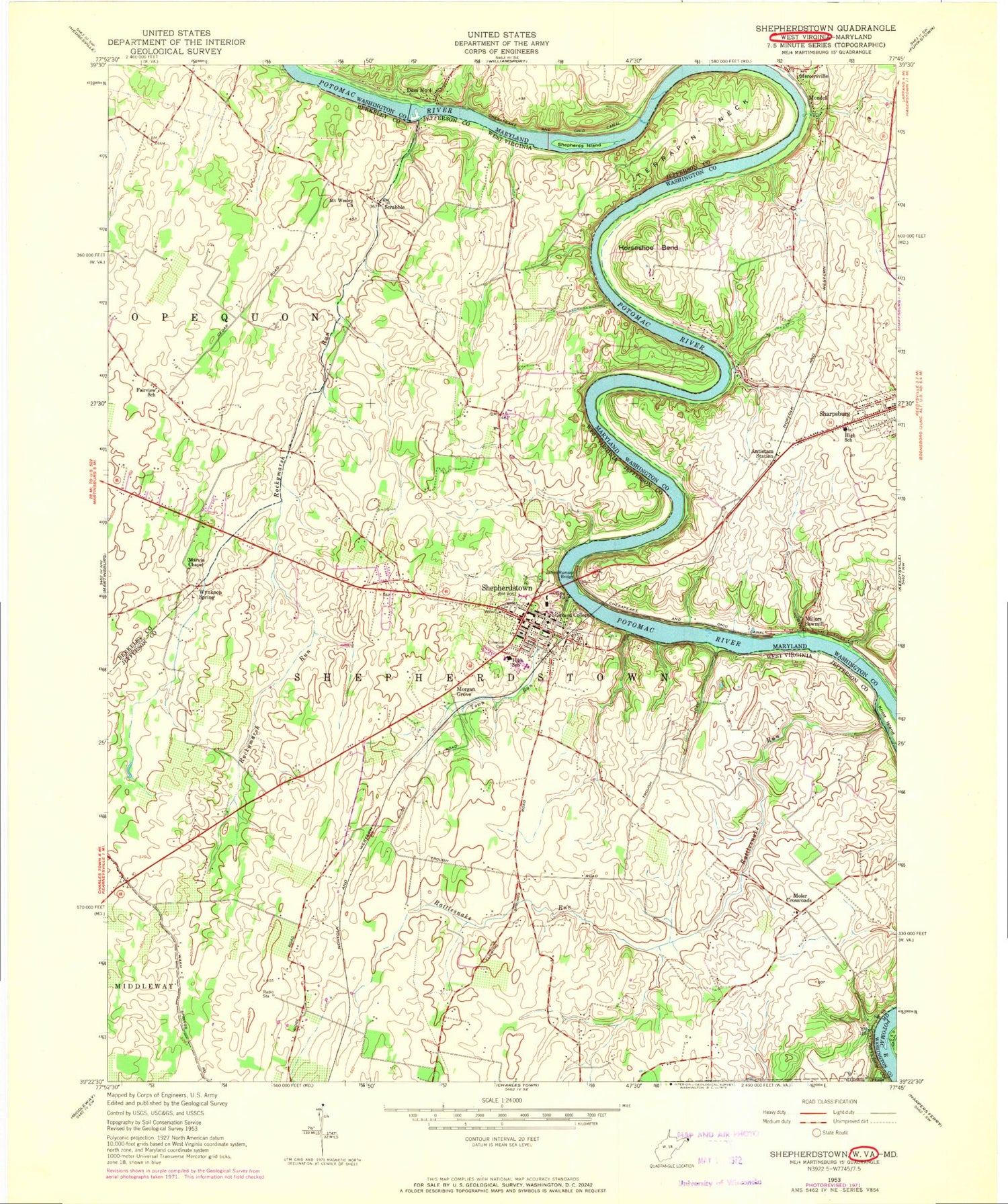
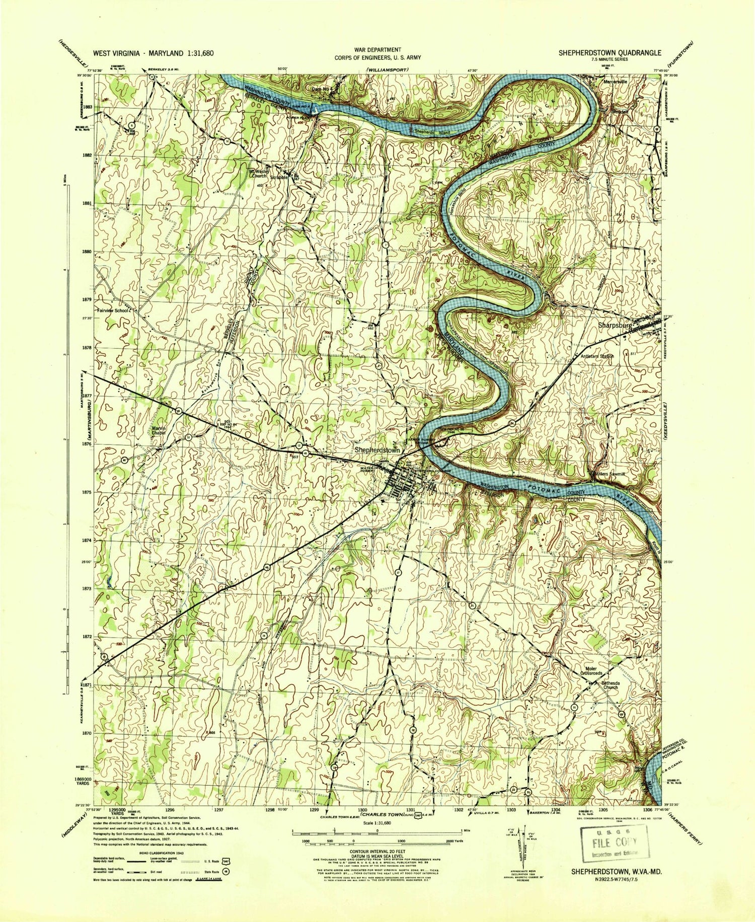
Classic USGS Shepherdstown West Virginia 7.5'x7.5' Topo Map
Couldn't load pickup availability
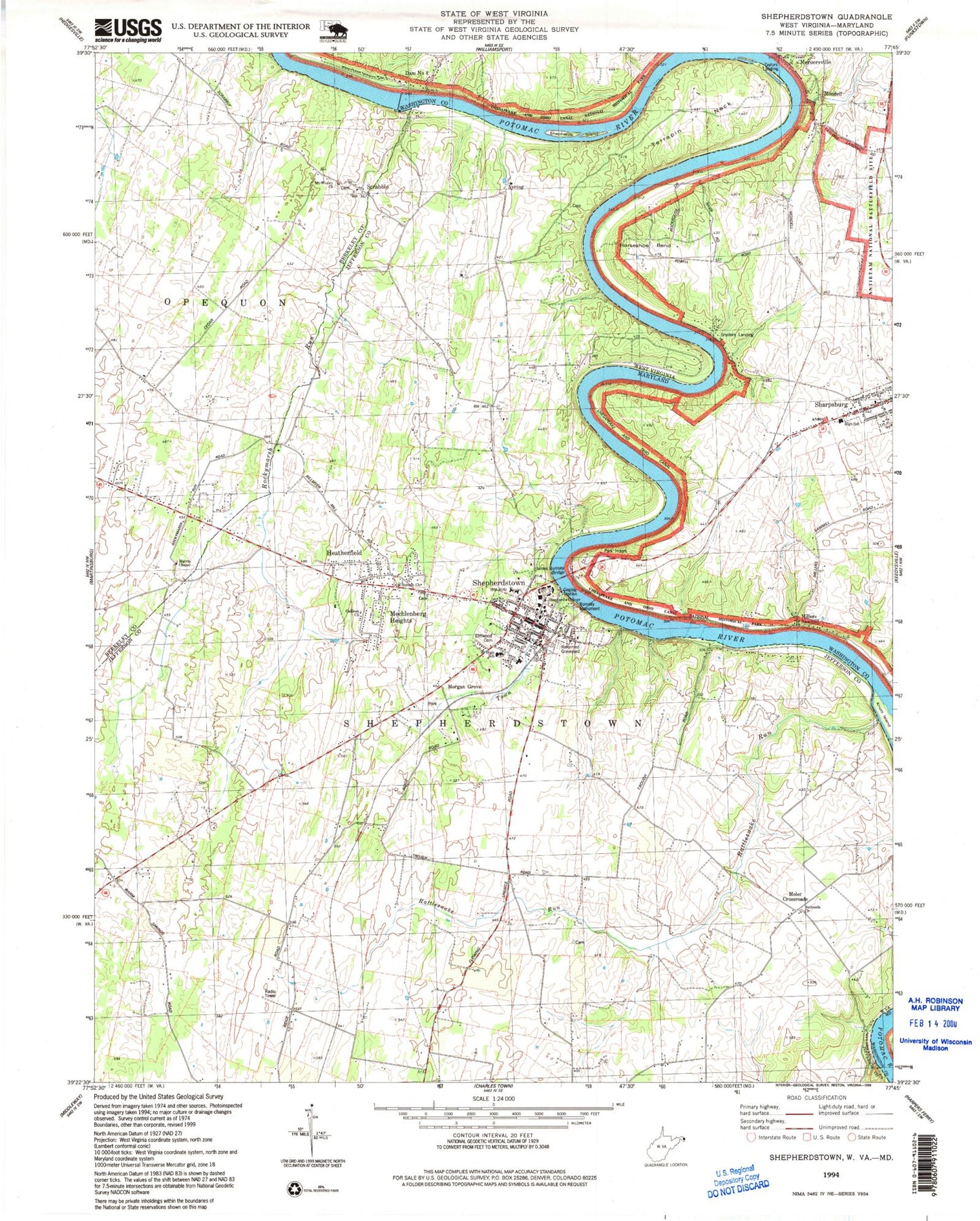
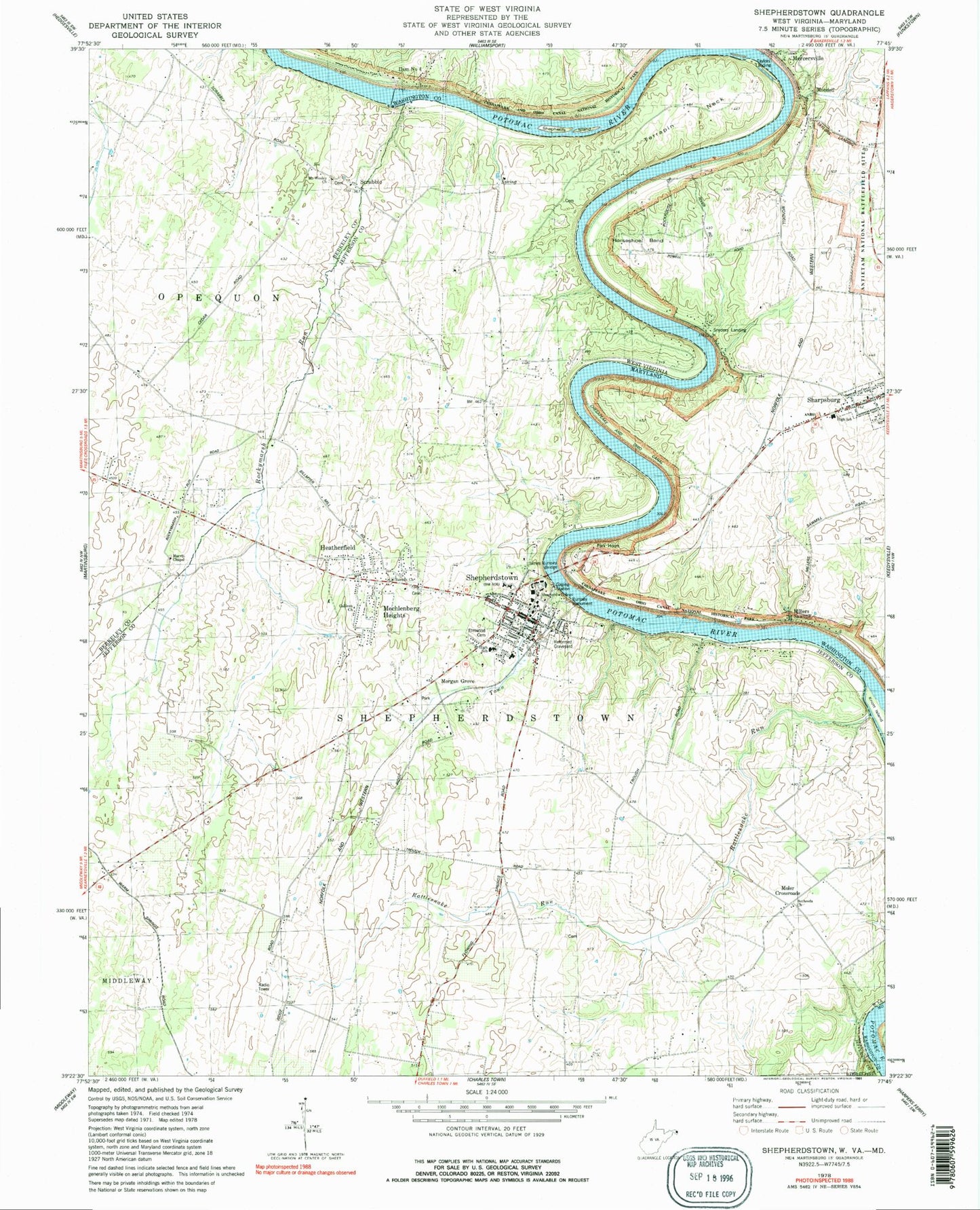
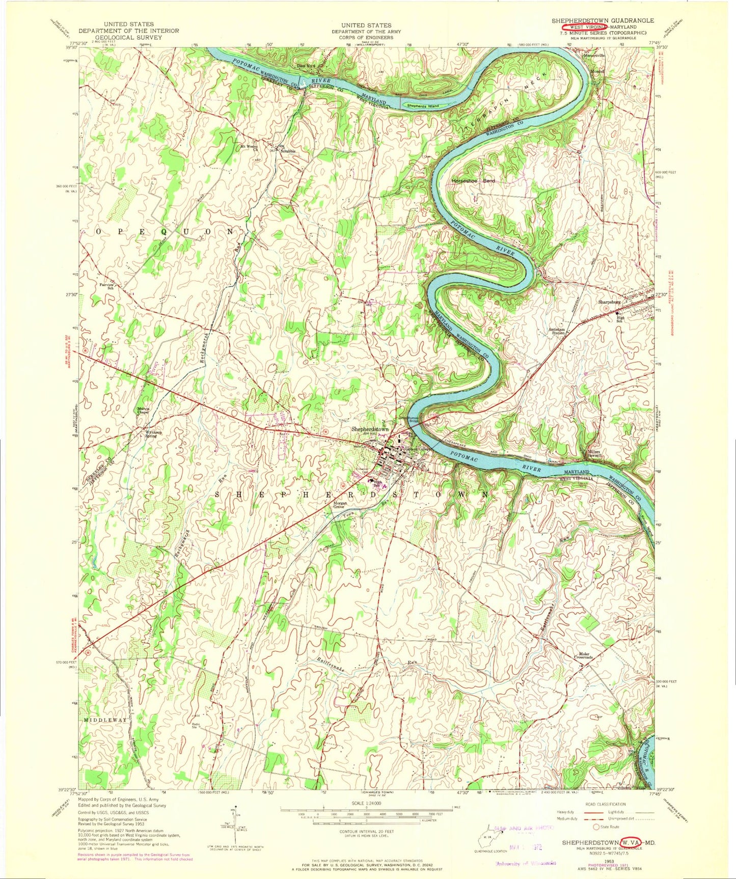
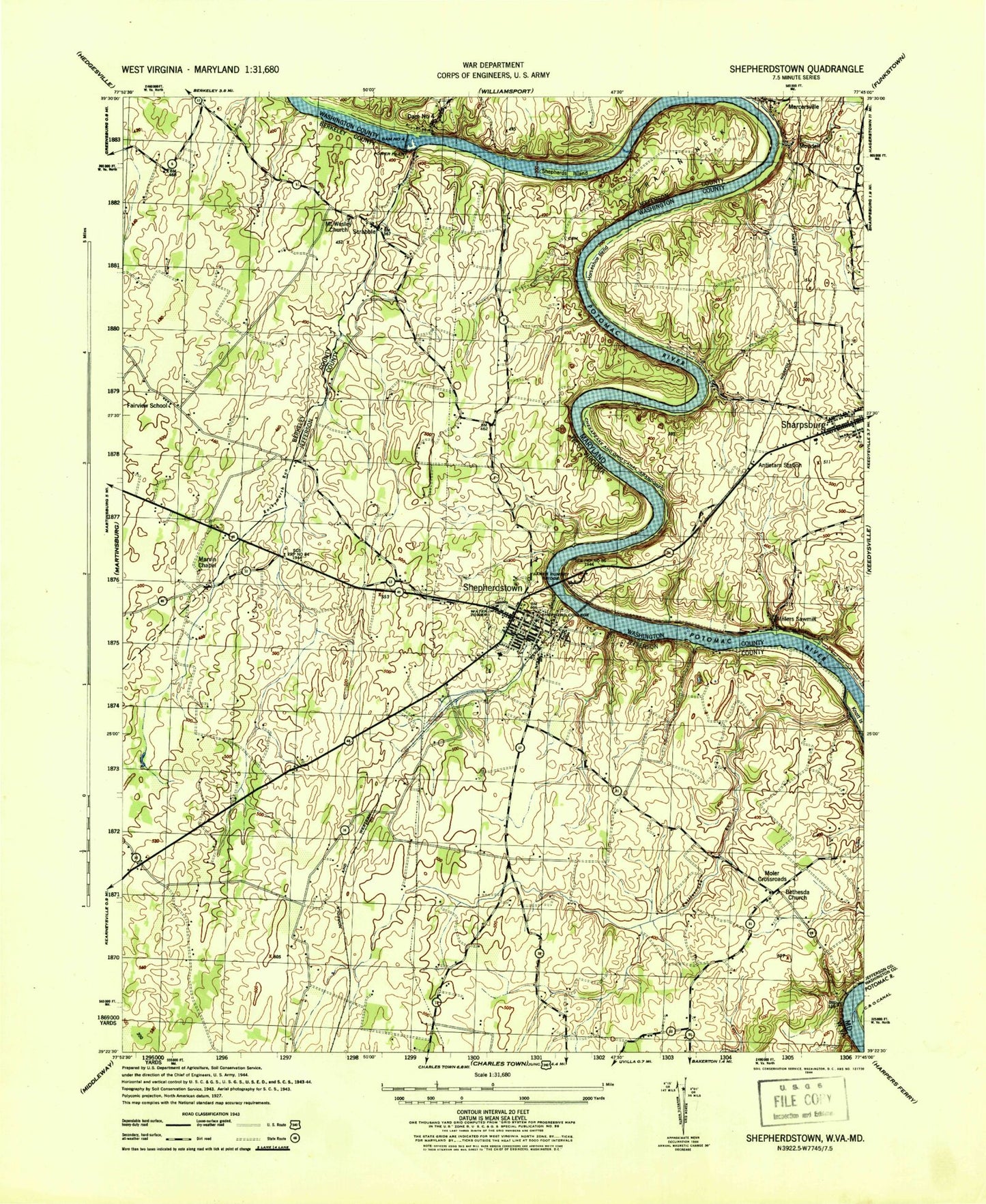
Historical USGS topographic quad map of Shepherdstown in the states of West Virginia, Maryland. Typical map scale is 1:24,000, but may vary for certain years, if available. Print size: 24" x 27"
This quadrangle is in the following counties: Berkeley, Jefferson, Washington.
The map contains contour lines, roads, rivers, towns, and lakes. Printed on high-quality waterproof paper with UV fade-resistant inks, and shipped rolled.
Contains the following named places: Berean Church, Bethesda United Methodist Church, Elmwood Cemetery, Galilean Church, Marvin Chapel, Mount Wesley Church, Rattlesnake Run, Reformed Graveyard, Rockymarsh Run, Rumsey Monument, Shepherd University, Shepherdstown, Terrapin Neck, Town Run, Morgan Grove, Scrabble, Heatherfield, Mechlenberg Heights, Moler Crossroads, Cross Spring, WSHC-FM (Shepherdstown), Rippling Spring, Maple Shade Farm Spring, Springdale Farm Spring, Spring Hill Farm Spring, Rock Spring, McQuilkin Farm Spring, Downs Farm Spring, Beasley Spring, Morgan Spring, Falling Spring, Billmeyer Farm Spring, Southwood Spring, Van Meter Farm Spring, Elmwood Farm Spring, Criders Mill (historical), Fairview School (historical), Foltz (historical), Mount Wesley Cemetery, Newton School (historical), Scrabble School (historical), Snyders Mill (historical), Christ Reformed Church, Fort Shepherd (historical), Mount Pleasant, New Street United Methodist Church, Pack Horse Ford, Rose Hill, Rumsey Monument State Park (historical), Saint Johns Baptist Church, Saint Peters Lutheran Church, Shepherd School (historical), Shepherds Ford, Shepherds Graveyard, Shepherds Grist Mill, Shepherdstown Elementary School, Shepherdstown Historic District, Shepherdstown Middle School, Shepherdstown Post Office, Walpers Cross-Roads, Wynkoop Spring, Shepherdstown District, U S Fish and Wildlife Service National Conservation Training Center, Town of Shepherdstown, Morgan Academy, Shepherdstown Volunteer Fire Department Company 3, Buckles - Reverend Black Cemetery, Cress Creek Country Club Golf Course, James Rumsey Bridge, Fairfax Field, Ram Stadium, Shepherdstown Public Library, George Tyler Moore Center for the Study of the Civil War, Historic Shepherdstown Museum, Shepherdstown Police Department, Shepherd University Police Department, National Conservation Training Center, Horseshoe Bend, James Rumsey Bridge, Millers Sawmill, Shepherds Island, Snyders Landing, Mercersville, Mondell, Taylors Landing, Potomac River Dam Number Four, Potomac River Reservoir, Antietam Station, Big Woods Campground, Blackfords Ferry (historical), Chesapeake and Ohio Canal National Historical Park Headquarters, Confederate Hills, Dam Number 4, Dovenbergers Mill (historical), Ferry Hill, Ferry Hill Plantation, First Church of God, Horseshoe Bend Campground, Killiansburg Cave Campground, Lock 38, Lock 39, Lock 40, Nicodemus Heights, Pack Horse Ford, Potomac Crest, Potomac Valley Farms, Sharpsburg Elementary School, Hauser Ridge, Sharpsburg Volunteer Fire Company Station 1, First Methodist Cemetery, First Methodist Church (historical), Mercersville Census Designated Place, Sharpsburg Area Emergency Medical Services Station 19, Berean Church, Bethesda United Methodist Church, Elmwood Cemetery, Galilean Church, Marvin Chapel, Mount Wesley Church, Rattlesnake Run, Reformed Graveyard, Rockymarsh Run, Rumsey Monument, Shepherd University, Shepherdstown, Terrapin Neck, Town Run, Morgan Grove, Scrabble, Heatherfield, Mechlenberg Heights, Moler Crossroads, Cross Spring, WSHC-FM (Shepherdstown), Rippling Spring, Maple Shade Farm Spring, Springdale Farm Spring, Spring Hill Farm Spring, Rock Spring, McQuilkin Farm Spring, Downs Farm Spring, Beasley Spring, Morgan Spring, Falling Spring, Billmeyer Farm Spring, Southwood Spring, Van Meter Farm Spring, Elmwood Farm Spring, Criders Mill (historical), Fairview School (historical), Foltz (historical), Mount Wesley Cemetery, Newton School (historical), Scrabble School (historical), Snyders Mill (historical), Christ Reformed Church, Fort Shepherd (historical), Mount Pleasant, New Street United Methodist Church, Pack Horse Ford, Rose Hill, Rumsey Monument State Park (historical), Saint Johns Baptist Church, Saint Peters Lutheran Church, Shepherd School (historical), Shepherds Ford, Shepherds Graveyard, Shepherds Grist Mill, Shepherdstown Elementary School, Shepherdstown Historic District, Shepherdstown Middle School, Shepherdstown Post Office, Walpers Cross-Roads, Wynkoop Spring, Shepherdstown District, U S Fish and Wildlife Service National Conservation Training Center, Town of Shepherdstown, Morgan Academy, Shepherdstown Volunteer Fire Department Company 3, Buckles - Reverend Black Cemetery, Cress Creek Country Club Golf Course, James Rumsey Bridge, Fairfax Field, Ram Stadium, Shepherdstown Public Library, George Tyler Moore Center for the Study of the Civil War, Historic Shepherdstown Museum, Shepherdstown Police Department, Shepherd University Police Department, National Conservation Training Center, Horseshoe Bend, James Rumsey Bridge, Millers Sawmill, Shepherds Island, Snyders Landing, Mercersville, Mondell, Taylors Landing, Potomac River Dam Number Four, Potomac River Reservoir, Antietam Station, Big Woods Campground, Blackfords Ferry (historical), Chesapeake and Ohio Canal National Historical Park Headquarters, Confederate Hills, Dam Number 4, Dovenbergers Mill (historical), Ferry Hill, Ferry Hill Plantation, First Church of God, Horseshoe Bend Campground, Killiansburg Cave Campground, Lock 38, Lock 39, Lock 40, Nicodemus Heights, Pack Horse Ford, Potomac Crest, Potomac Valley Farms, Sharpsburg Elementary School, Hauser Ridge, Sharpsburg Volunteer Fire Company Station 1, First Methodist Cemetery, First Methodist Church (historical), Mercersville Census Designated Place, Sharpsburg Area Emergency Medical Services Station 19, Berean Church, Bethesda United Methodist Church, Elmwood Cemetery, Galilean Church, Marvin Chapel, Mount Wesley Church, Rattlesnake Run, Reformed Graveyard, Rockymarsh Run, Rumsey Monument
