MyTopo
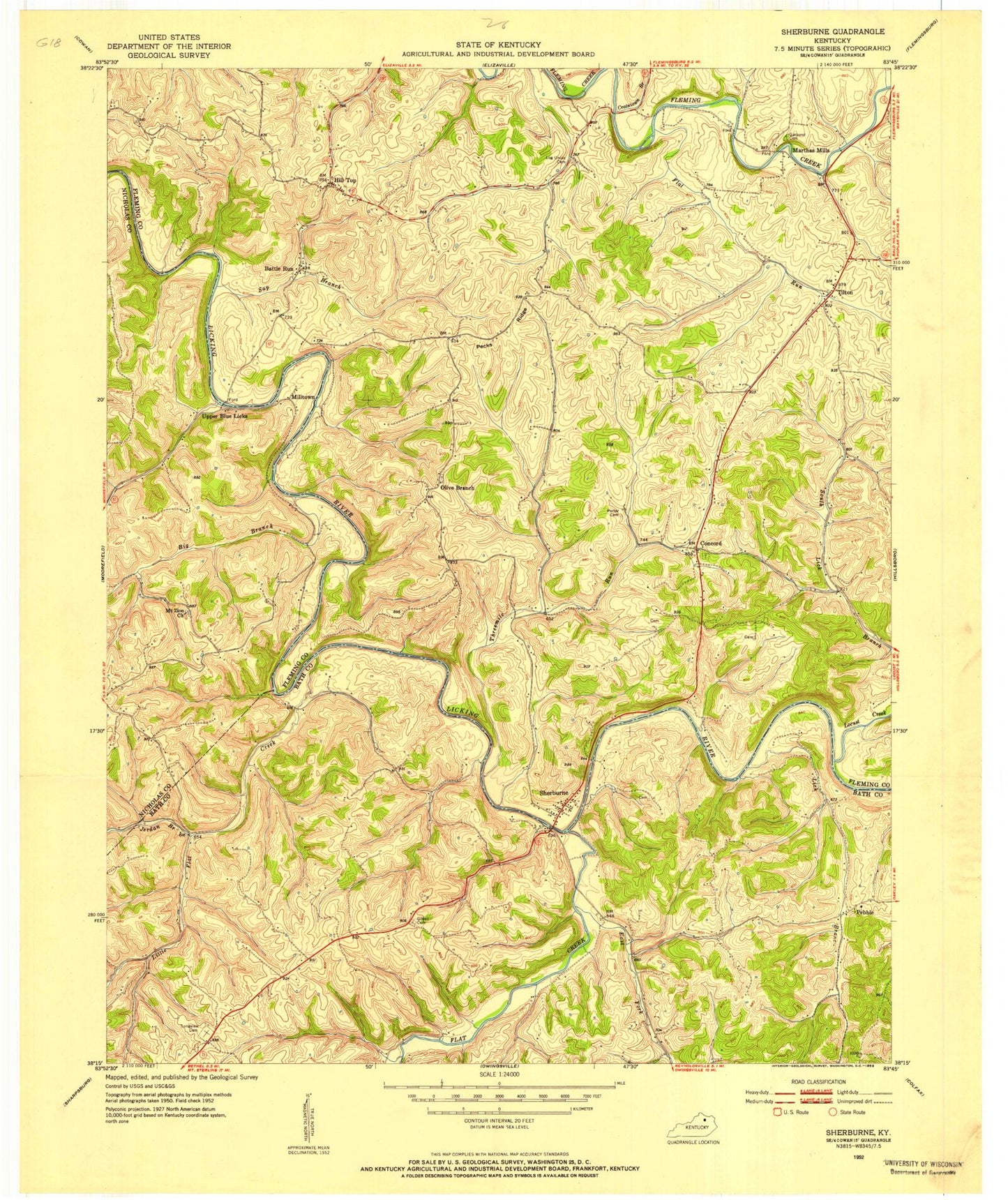
Classic USGS Sherburne Kentucky 7.5'x7.5' Topo Map
Couldn't load pickup availability
Historical USGS topographic quad map of Sherburne in the state of Kentucky. Map scale may vary for some years, but is generally around 1:24,000. Print size is approximately 24" x 27"
This quadrangle is in the following counties: Bath, Fleming, Nicholas.
The map contains contour lines, roads, rivers, towns, and lakes. Printed on high-quality waterproof paper with UV fade-resistant inks, and shipped rolled.
Contains the following named places: Balm Post Office, Battle Run, Battle Run Post Office, Battle Run Presbyterian Church, Bethel Methodist Episcopal Church, Bethel Volunteer Fire Department Station 2, Big Branch, Concord, Concord Church, Craintown Branch, East Fork Flat Creek, Fairview Church, Finley Home Site Historical Marker, Flat Creek, Flat Run, Garpond Cemetery, Gilead Cemetery, Hill Top, Hill Top Post Office, Jerdan Branch, Lick Branch, Licking River Ford, Little Flat Creek, Little Flat Schoolhouse, Locust Creek, Locust School, Log Union Cemetery, Log Union Church, Longview Cemetery, Martha Mills Post Office, Marthas Mills, McGaha Branch, Milltown, Mount Zion Church, Olive Branch, Olive Branch Christian Church, Olive Branch School, Pebble, Pecks Ridge, Pecks Ridge Post Office, Pecks Ridge School, Peeble, Peeble Post Office, Porter Cemetery, Sap Branch, School Number Forty-Four, School Number Forty-One, School Number Twenty, Sherburne, Sherburne Bridge, Sherburne Bridge Historical Marker, Sherburne Milles Post Office, Sherburne School, South Sherburne, Tea Run School, The Iron Bridge, Threemile Run, Tilton, Tilton Volunteer Fire Department, Tiltons Chapel, Two Mile Run, Upper Blue Licks, ZIP Code: 40350


