MyTopo
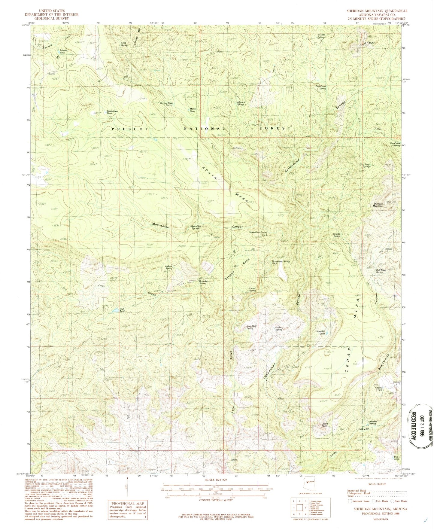
Classic USGS Sheridan Mountain Arizona 7.5'x7.5' Topo Map
Couldn't load pickup availability
Historical USGS topographic quad map of Sheridan Mountain in the state of Arizona. Map scale may vary for some years, but is generally around 1:24,000. Print size is approximately 24" x 27"
This quadrangle is in the following counties: Yavapai.
The map contains contour lines, roads, rivers, towns, and lakes. Printed on high-quality waterproof paper with UV fade-resistant inks, and shipped rolled.
Contains the following named places: Alkaline Spring, Alkaline Tank, Alligator Spring, Barney Well, Blue Dam, Blue Tank, Boulder Tank, Boundary Spring, Brockmonte Canyon, BT Butte, Bull Spring, Bull Tank, Burro Spring, Castle Rock, Cedar Mesa, Clay Seep Spring, Conger Spring, Corral Spring Tank, Corral Tank, Cottonwood Cabin, Cottonwood Wash, Cottonwood Well, Dry Creek, Dry Creek Spring, Granite Spring, Jackass Spring, Laurel Spring, Loco Pool Spring, Metote Pit Tank, Moonshine Canyon, Moonshine Spring Number Three, Moonshine Springs, Orejano Basin, Pine Canyon, Pine Creek Spring, Pine Flat Tank, Poplar Spring, Section Twenty Nine Tank, Seep Spring, Sheridan Lake, Sheridan Mountain, Smith Canyon, South Mesa, South Mesa Tank, Yolo Trick Tank