MyTopo
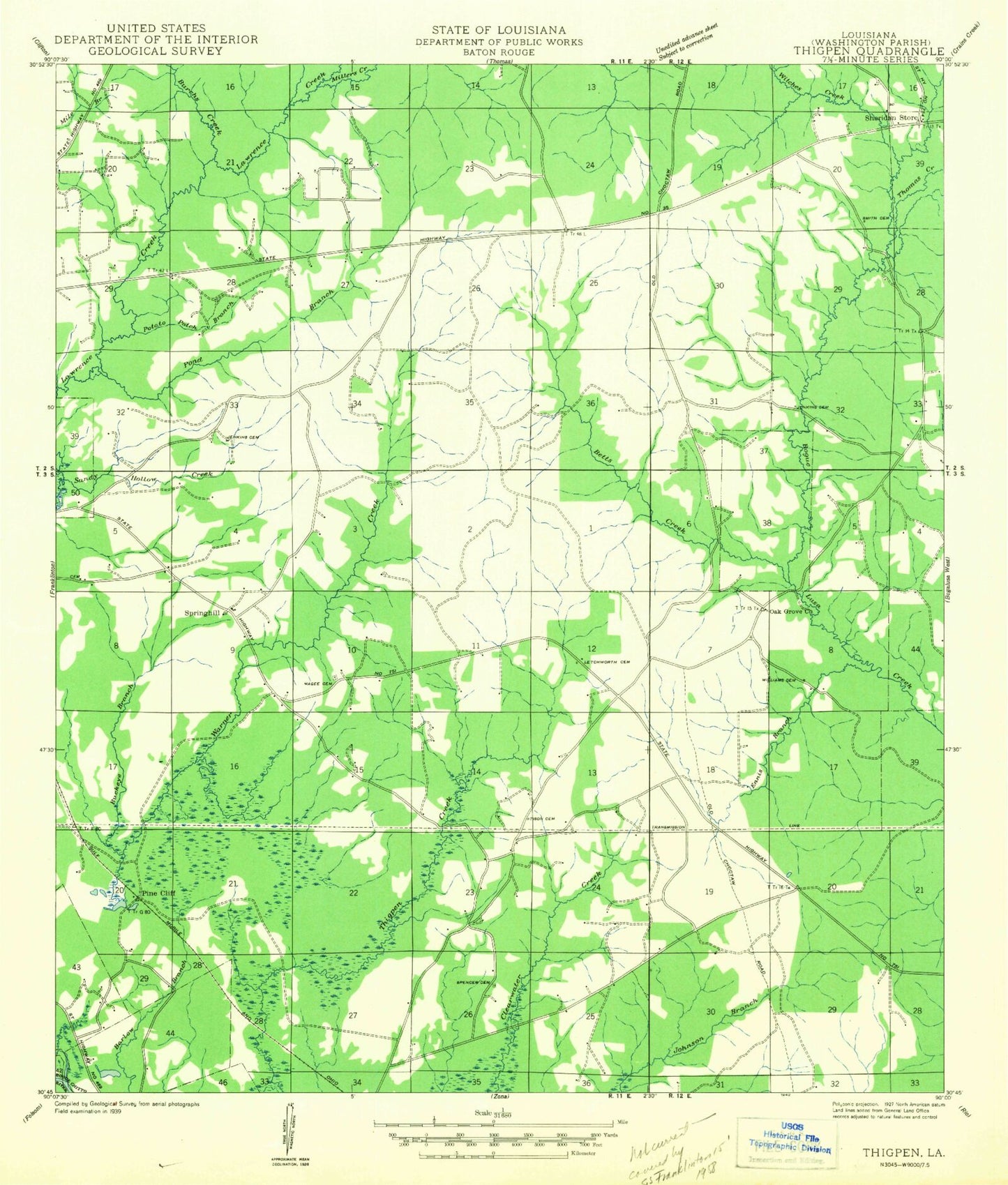
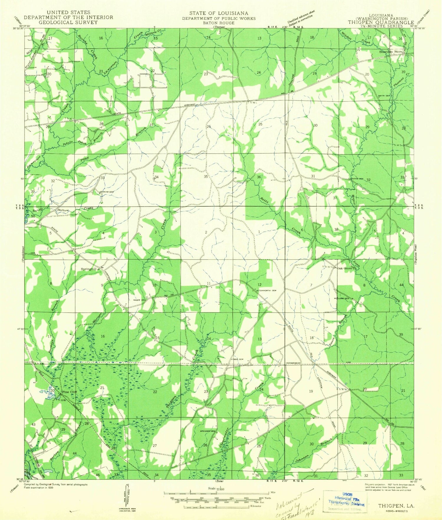
Classic USGS Sheridan Louisiana 7.5'x7.5' Topo Map
Couldn't load pickup availability
Historical USGS topographic quad map of Sheridan in the state of Louisiana. Map scale may vary for some years, but is generally around 1:24,000. Print size is approximately 24" x 27"
This quadrangle is in the following counties: Washington.
The map contains contour lines, roads, rivers, towns, and lakes. Printed on high-quality waterproof paper with UV fade-resistant inks, and shipped rolled.
Contains the following named places: Back Swamp, Bett Creek, Buckeye Branch, Burch Creek, Choctaw Road Landfill, Cooper School, Creel Cemetery, Ennis Branch, Franklinton Airport, Franklinton Country Club, Franklinton Elementary School, Franklinton High School, Jenkins Cemetery, Jesus Name Holiness Church, Letchworth Cemetery, Magee Cemetery, Miller Creek, Mount Zion Church, Oak Grove Church, Parish Governing Authority District 13, Parish Governing Authority District 2, Pine Cliff, Pond Branch, Poplarhead Church, Potato Patch Branch, Sandy Hollow Creek, Sanfords Camp, Sheridan, Simmons Cemetery, Smith Cemetery, Smith Pond Number One Dam, Spencer Cemetery, Springhill, Springhill Baptist Church, Strahan Cemetery, Thigpen Cemetery, Thomas Creek, Tison Cemetery, Ward Branch, Ward Six, Warner Creek, Washington Parish, Washington Parish Fire District 8, Williams Cemetery, Williams Mill, Witche Creek, ZIP Code: 70438


