MyTopo
Classic USGS Sherman City Michigan 7.5'x7.5' Topo Map
Couldn't load pickup availability
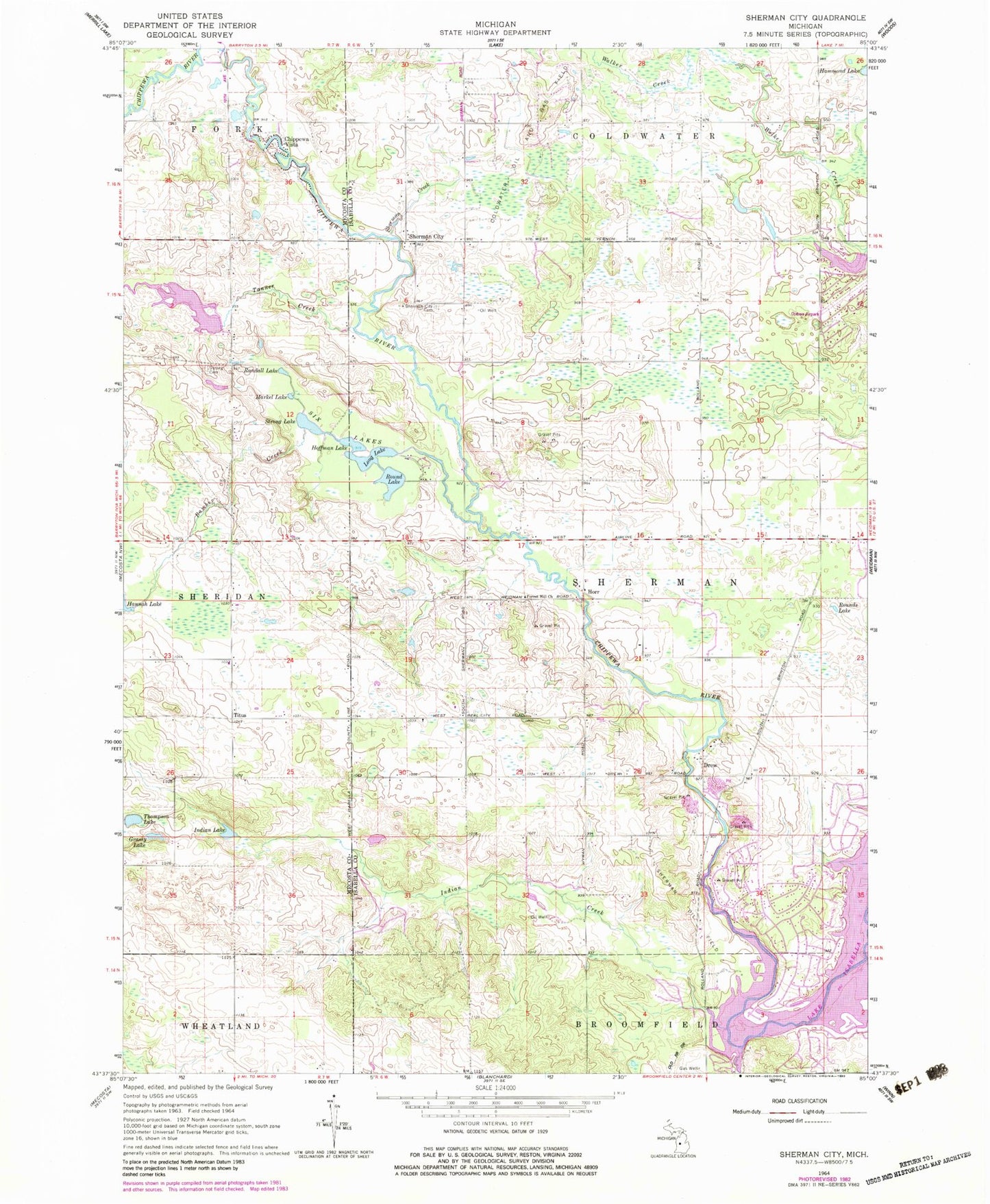
Historical USGS topographic quad map of Sherman City in the state of Michigan. Map scale may vary for some years, but is generally around 1:24,000. Print size is approximately 24" x 27"
This quadrangle is in the following counties: Isabella, Mecosta.
The map contains contour lines, roads, rivers, towns, and lakes. Printed on high-quality waterproof paper with UV fade-resistant inks, and shipped rolled.
Contains the following named places: Bamber Creek, Broomfield Post Office, Bundy Post Office, Bundy Station, Chippewa Vista, Coldwater Oil and Gas Field, Drew, Drew Post Office, Forest Hill Cemetery, Forest Hill Church, Fork Post Office, Gilmore Park, Grassy Lake, Hammond Lake, Hoffman Lake, Horr, Horr Post Office, Indian Creek, Indian Lake, Lake Isabella, Long Lake, Markel Lake, Ojibwa Airpark, Randall Lake, Rienza Post Office, Round Lake, Rounds Lake, Sherman City, Sherman City Cemetery, Sherman City Historical Marker, Sherman City Post Office, Sherman City Union Church Historical Marker, Sherman Creek, Sherman Oil Field, Sherman Township Marshal's Office, Six Lakes, Squaw Creek, Strong Cemetery, Strong Lake, Tanner Creek, Thompson Lake, Titus, Titus Post Office, Township of Sherman, Village of Lake Isabella, Weidman Baptist Church


