
MyTopo
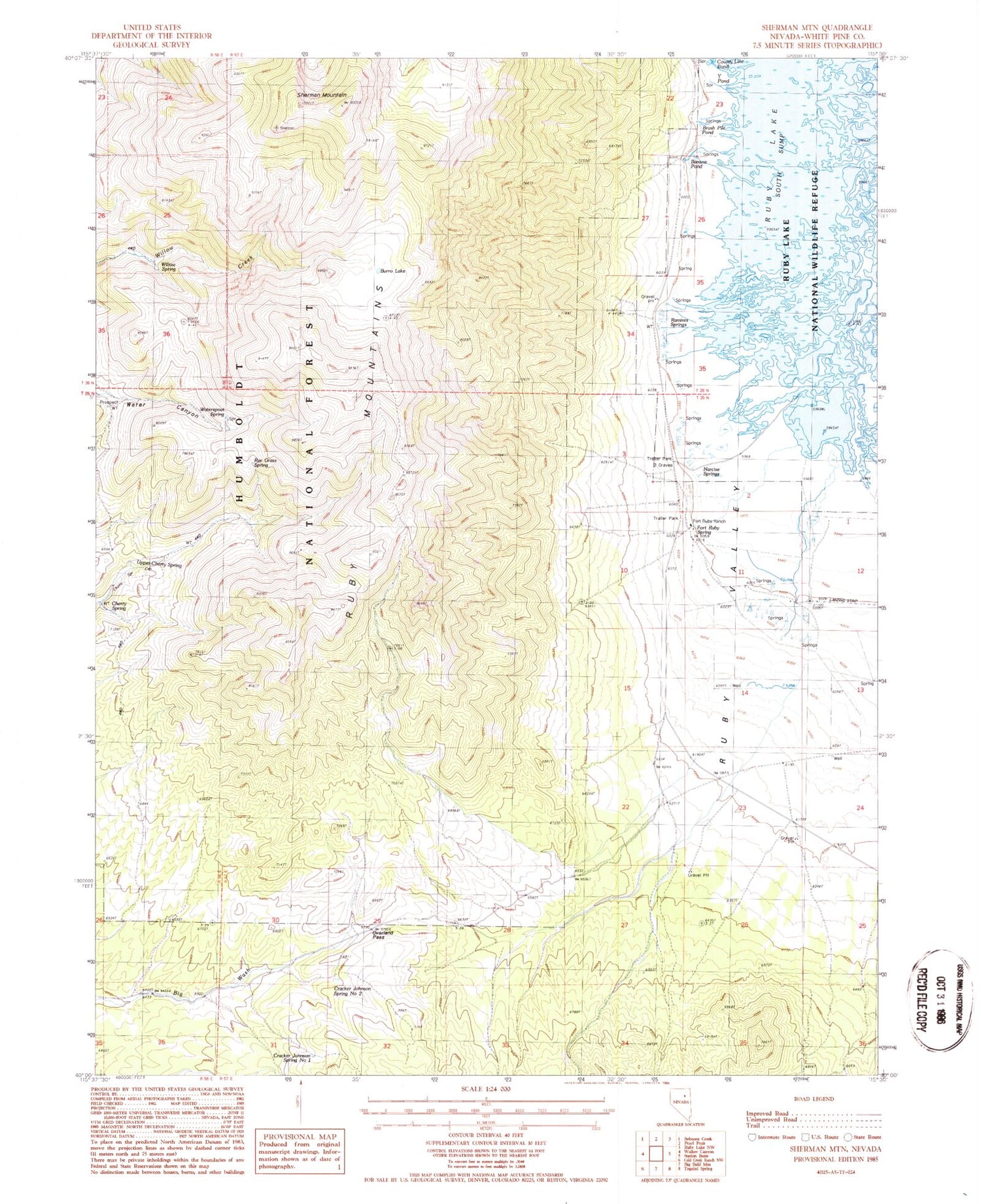
Classic USGS Sherman Mountain Nevada 7.5'x7.5' Topo Map
Couldn't load pickup availability
Historical USGS topographic quad map of Sherman Mountain in the state of Nevada. Map scale may vary for some years, but is generally around 1:24,000. Print size is approximately 24" x 27"
This quadrangle is in the following counties: White Pine.
The map contains contour lines, roads, rivers, towns, and lakes. Printed on high-quality waterproof paper with UV fade-resistant inks, and shipped rolled.
Contains the following named places: Banana Pond, Brush Pile Pond, Burro Lake, Cherry Spring, County Line Pond, Cracker Johnson Spring Number One, Cracker Johnson Spring Number Two, Davis Ranch, Fort Ruby, Fort Ruby Ranch, Fort Ruby Ranch Airstrip, Fort Ruby Spring, Hobson, Hobson Post Office, Johnson Cabin, Narcise Springs, Overland Pass, Pony Express Station, Ramires Springs, Rye Grass Spring, Sherman Mountain, Upper Cherry Spring, Waterspout Spring, Willow Spring


