MyTopo
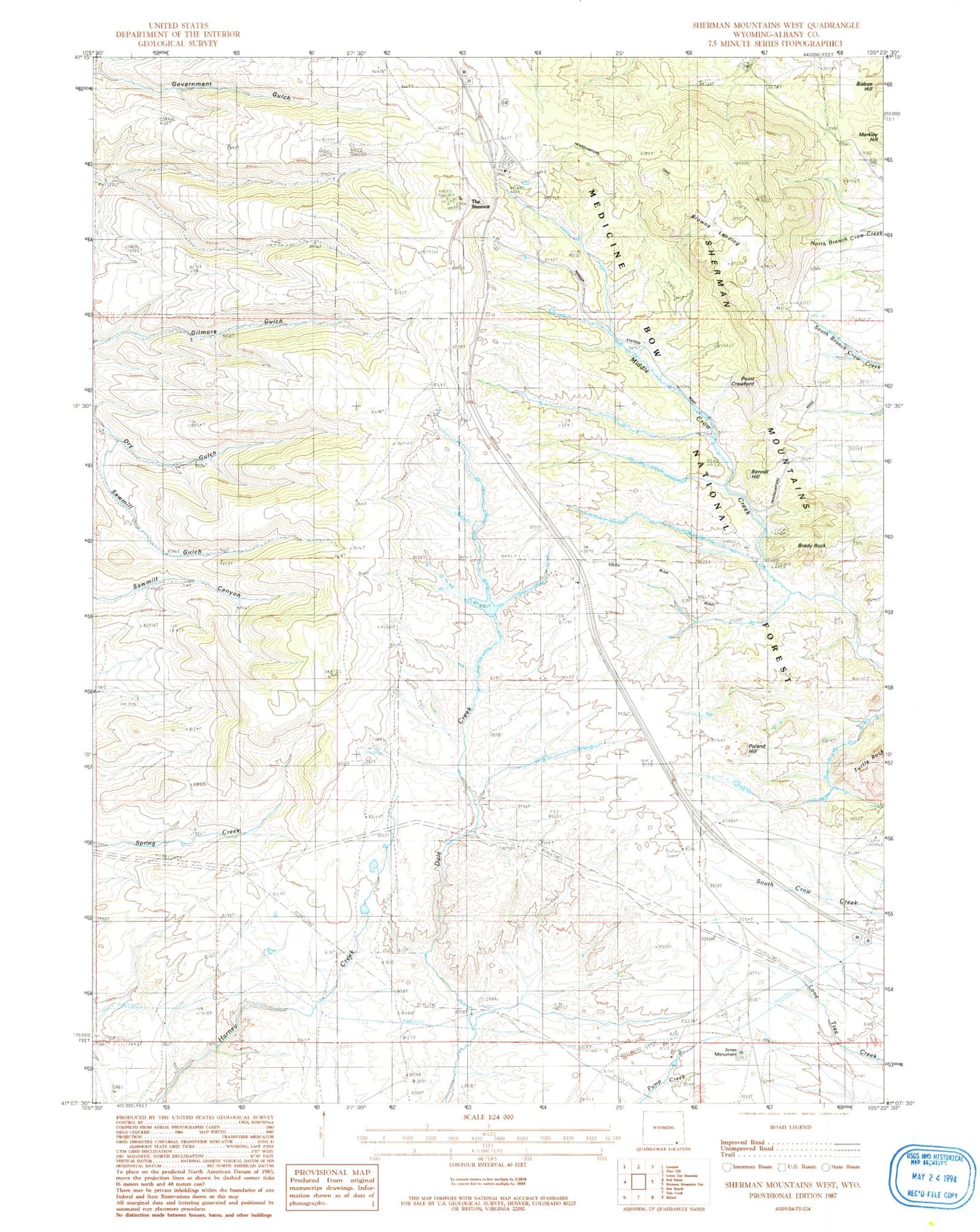
Classic USGS Sherman Mountains West Wyoming 7.5'x7.5' Topo Map
Couldn't load pickup availability
Historical USGS topographic quad map of Sherman Mountains West in the state of Wyoming. Map scale may vary for some years, but is generally around 1:24,000. Print size is approximately 24" x 27"
This quadrangle is in the following counties: Albany.
The map contains contour lines, roads, rivers, towns, and lakes. Printed on high-quality waterproof paper with UV fade-resistant inks, and shipped rolled.
Contains the following named places: Ames Monument, Bennet Hill, Bisbee Hill, Browns Landing, Hidden Valley Picnic Area, Lincoln Trail, Lower Blair Picnic Area, Markley Hill, Mellody Ranch, Old Sherman Cemetery, Perue Ranch, Point Crawford, Poland Hill, Pole Mountain, Pole Mountain Ranger Station, Pole Mountain Trail, Pole Mountain Work Center, Sawmill Gulch, Sherman Mountains, The Summit, Upper Blair Picnic Area, Vedauwoo Volunteer Fire Department, Wallis Recreation Area, Warren Sheep Camp, Williams Number 3 Dam, Williams Number 3 Reservoir


