MyTopo
Classic USGS Shermans Dale Pennsylvania 7.5'x7.5' Topo Map
Couldn't load pickup availability
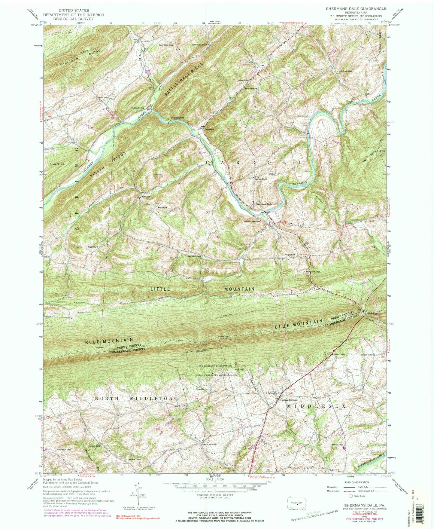
Historical USGS topographic quad map of Shermans Dale in the state of Pennsylvania. Typical map scale is 1:24,000, but may vary for certain years, if available. Print size: 24" x 27"
This quadrangle is in the following counties: Cumberland, Perry.
The map contains contour lines, roads, rivers, towns, and lakes. Printed on high-quality waterproof paper with UV fade-resistant inks, and shipped rolled.
Contains the following named places: Carlisle Springs, Carson Long Camp, Cranes Gap, Fishing Run, Hamilton School, Longs Gap, Millers Church, Milligan Ridge, Mount Gilead Church, Perry Furnace Run, Pisgah Church, Pisgah Ridge, Pisgah Run, Rattlesnake Ridge, Saint Mathews Church, Sandy Hollow Church, Shermans Dale, Sterretts Gap, Waggoner Church, Wolf Church, Youngs Church, Yost Airport (historical), Carlisle Squadron 305 Civil Air Patrol Airport (historical), Hamilton School (historical), Warm Springs, Rocky Hollow, Dromgold, Falling Spring, State Game Lands Number 230, Middlesex Elementary School, Crums Corners, Airy View School, Barn Hills School, Evergreen School, Franklin Hall School, Lackeys School, Pine Grove School, Pleasant Hall School, Sandy Hollow School, Shermans Dale School, The Narrows School, Union School, Wolf School, Township of Middlesex, Township of Carroll, Shermans Dale Community Fire Company Station 12, Mountainview Horse Farm, Shermans Dale Ambulance Association Station 129, Middlesex Police Department, Shermans Dale Post Office, Miller Meeting House Cemetery, Waggoners United Methodist Church Cemetery, Bible Brethren Church Cemetery, Carlisle Springs Cemetery


