MyTopo
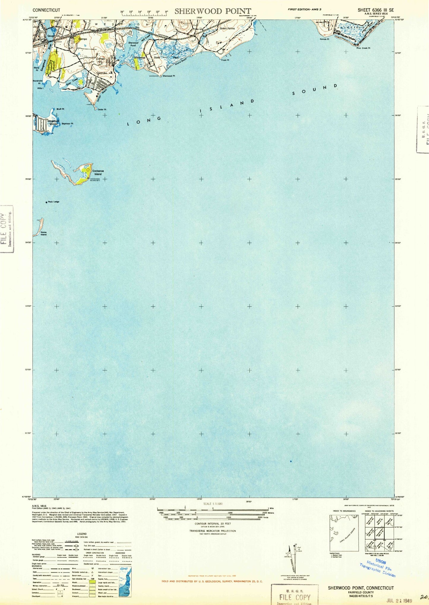
Classic USGS Sherwood Point Connecticut 7.5'x7.5' Topo Map
Couldn't load pickup availability
Historical USGS topographic quad map of Sherwood Point in the state of Connecticut. Map scale may vary for some years, but is generally around 1:24,000. Print size is approximately 24" x 27"
This quadrangle is in the following counties: Fairfield, Suffolk.
The map contains contour lines, roads, rivers, towns, and lakes. Printed on high-quality waterproof paper with UV fade-resistant inks, and shipped rolled.
Contains the following named places: Alvord Beach, Bluff Point, Burial Hill Beach, Burritt Cove, Cedar Point, Cedar Point Yacht Club, Channel Rock, Cockenoe Bay, Cockenoe Harbor, Cockenoe Island, Cockenoe Reef, Cockenoe Shoal, Compo, Compo Beach, Compo Census Designated Place, Compo Cove, Compo Hill, Compo Point, Compo Yacht Club, Compo-Owenoke Historic District, Dunder Rock, Fairfield Beach, Fairfield Public Beach, Frost Point, Georges Rock, Goose Island, Grays Creek, Green Farms Post Office, Greens Farm Station, Greens Farms, Greens Farms Academy, Greens Farms Brook, Grove Point, Hale Court, Hall Island, Hanford Rock, Haycock Rock, Hendricks Point, Indian River, Kensie Point, Kitts Island, Mill Creek, Minuteman Yacht Club, Muddy Brook, Owenoke, Peck Ledge, Peck Ledge Lighthouse, Pine Creek, Pine Creek Park 3 Golf Course, Pine Creek Point, Sasco Brook, Saugatuck, Saugatuck Census Designated Place, Saugatuck River, Saugatuck Shores, Seymour Point, Seymour Rock, Sherwood Island, Sherwood Island State Park, Sherwood Point, South Pine Creek Beach, Stony Point, Town of Westport, Westport Census Designated Place, Westport Fire Department Saugatuck Station, Westport Longshore Club Park, Westport Station


