MyTopo
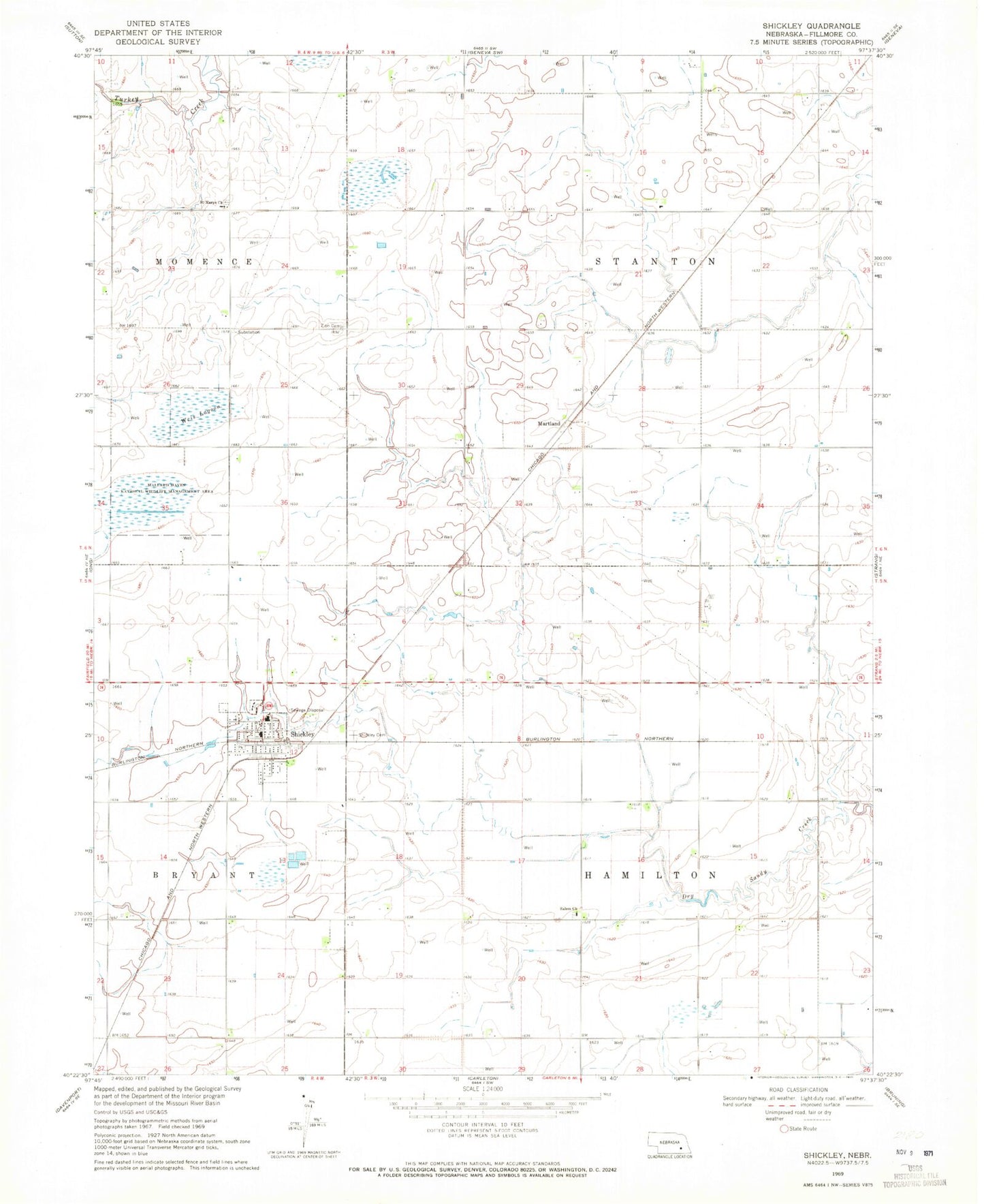
Classic USGS Shickley Nebraska 7.5'x7.5' Topo Map
Couldn't load pickup availability
Historical USGS topographic quad map of Shickley in the state of Nebraska. Map scale may vary for some years, but is generally around 1:24,000. Print size is approximately 24" x 27"
This quadrangle is in the following counties: Fillmore.
The map contains contour lines, roads, rivers, towns, and lakes. Printed on high-quality waterproof paper with UV fade-resistant inks, and shipped rolled.
Contains the following named places: Filmore County Waterfowl Production Area, Martland, Martland Post Office, Norder Agri-grain Incorporated Elevator, Saint Marys Catholic Church, Salem Mennonite Church, Sandpiper State Wildlife Management Area, Shickley, Shickley Cemetery, Shickley Grain Company Elevator, Shickley Post Office, Shickley Public Schools, Shickley Volunteer Fire Department, Township of Hamilton, Township of Stanton, United Methodist Church, Village of Shickley, Virgil Biegert Public Library, Weis Lagoon, Zion Cemetery, ZIP Code: 68436