MyTopo
Classic USGS Shields Kansas 7.5'x7.5' Topo Map
Regular price
$16.95
Regular price
Sale price
$16.95
Unit price
per
Couldn't load pickup availability
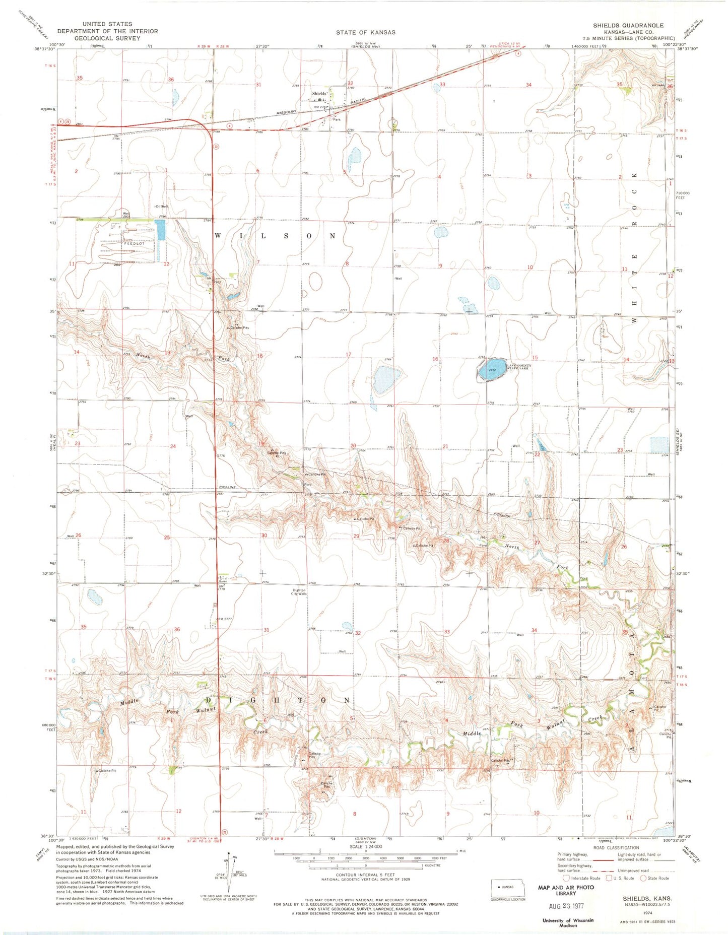
Historical USGS topographic quad map of Shields in the state of Kansas. Map scale may vary for some years, but is generally around 1:24,000. Print size is approximately 24" x 27"
This quadrangle is in the following counties: Lane.
The map contains contour lines, roads, rivers, towns, and lakes. Printed on high-quality waterproof paper with UV fade-resistant inks, and shipped rolled.
Contains the following named places: Dighton City Wells, Lane County Rural Fire Department Shields Station, Lane County State Lake, Lane County State Lake Dam, Lane Wildlife Area, North Fork Middle Fork Walnut Creek, Shields, Shields Elementary School, Toogana