MyTopo
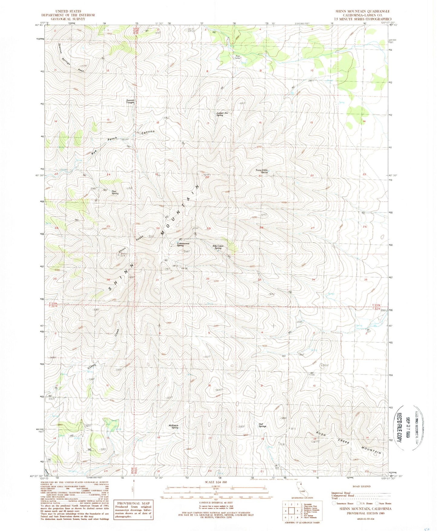
Classic USGS Shinn Mountain California 7.5'x7.5' Topo Map
Regular price
$16.95
Regular price
Sale price
$16.95
Unit price
per
Couldn't load pickup availability
Historical USGS topographic quad map of Shinn Mountain in the state of California. Map scale may vary for some years, but is generally around 1:24,000. Print size is approximately 24" x 27"
This quadrangle is in the following counties: Lassen.
The map contains contour lines, roads, rivers, towns, and lakes. Printed on high-quality waterproof paper with UV fade-resistant inks, and shipped rolled.
Contains the following named places: Bills Cabin Spring, Cottonwood Spring, Hall Springs, Juniper Jim Spring, McKissick Spring, Nye Spring, Post Camp, Sage Hen Spring, Shinn Mountain, Shinn Peaks, Spanish Springs Peak, Summit Troughs, Toms Cabin Spring